Making events safer with drone mapping
That was the situation facing the Michigan State Police before the annual Michigan Mud Jam. The Police produced a detailed and up-to-date orthomosaic which the multi-agency team used as the basis of the event security planning process.
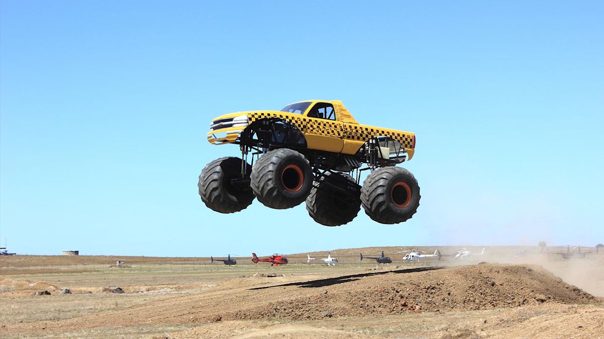
The Michigan Mud Jam is held annually at the Iosco County Fairgrounds in Hale, Michigan. It is a 4-day event with a 10 hectare (24.7 acres) mud pit for motorized vehicles of all shapes and sizes. The Michigan Mud Jam is the largest mud bogging event in the USA.
The event has drawn over 40,000 patrons in the past – to put this number in perspective, the population of the entire county is 25,000.
Due to its scale, and the potential hazards, a multi-agency team manages the Mud Jam security. The Michigan State Police work together with local and private law enforcement counterparts to prepare for the event.
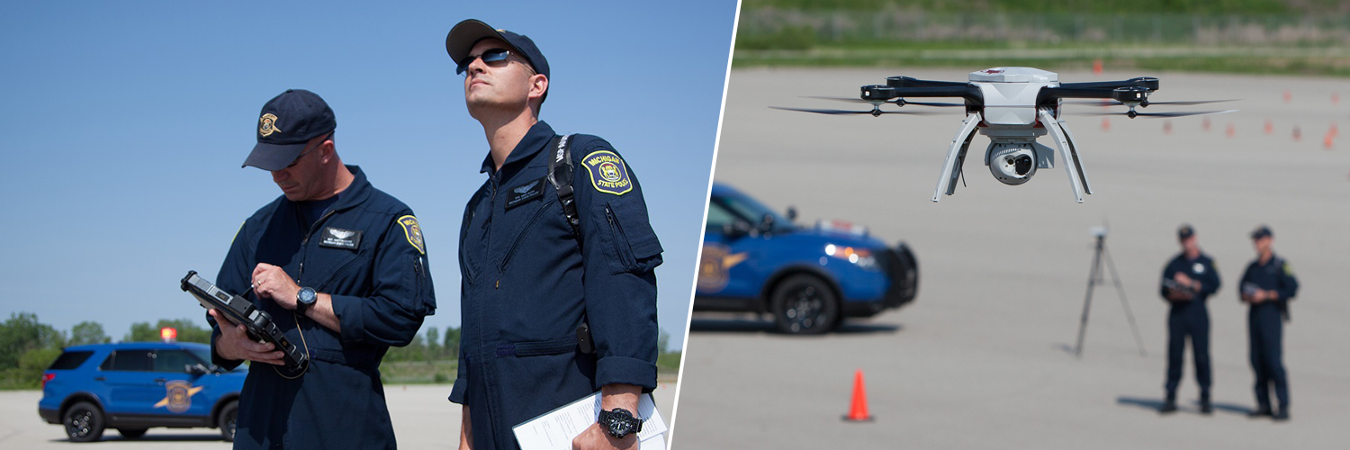
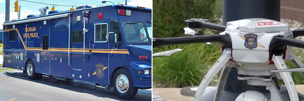
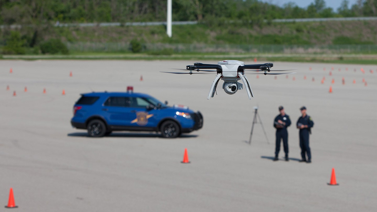
Before the event begins, the aviation unit of MSP collects imagery with a drone and hands the data off to the Emergency Management and Homeland Security Division operations management section for processing. On the ground, during the event, MSP provides radio communication support from a command vehicle.
Efficient multi-agency collaboration requires a shared understanding of the event geography. Operational maps are communication tools that serve that purpose. An up-to-date base-map of the grounds — with a spatial resolution fine enough to identify objects as small as 10cm — is essential when planning event security.
Timely base-maps are a critical factor in event planning because temporary landmarks such as tents and grandstands are on the site for only a week — or less — before the event begins. Drone-mapping enables the security team to generate maps which capture temporal information that other data sources such as Google Earth or statewide image archives do not contain, and at a much lower cost than mapping from an aircraft.
Generating an up-to-date operational map
The MSP brought in their state-of-the-art expertise and equipment to generate up-to-date drone-based operational maps.
Due to the Visual Line of Sight (VLOS) regulations and the relatively large size of the Iosco County Fairgrounds, two flights were required to capture all 1km2 (247 acres) of the area.
In both flights, the MSP flew their Aeryon Skyranger drone equipped with an HDZoom 30 payload — a ruggedized camera with a 20MP sensor mounted on a 3 axis gimbal— at 120m (393.7ft) above the ground — and captured 405 images.
Project details
| Organization | Michigan State Police |
| Project manager | Walter Chomentowski |
| Event | Michigan Mud Jam |
| Location | Iosco County, MI, USA |
| Photogrammetry software | Pix4Dmapper |
| Area covered | 1km² / 247 acres |
| Number of images | 405 |
| Drone and capture device | Aeryon Skyranger with HDZoom 30 20MP camera |
| Orthomosaic resolution | 3.2cm per pixel |
Processing the images with Pix4Dmapper
After collecting the data the next step was to transform the images into a digital model.
The MSP used Pix4Dmapper on a desktop computer with the following technical specifications to generate their orthomosaic:
- CPU: Intel(R) Xeon(R) CPU E5-2699 v3 @ 2.30GHz
- RAM: 128GB
- GPU: NVIDIA Quadro K2200 (Driver: 22.21.13.8205)
The total processing time was less than two and a half hours. The result was an orthomosaic with a spatial resolution or Ground Sampling Distance (GSD) of 3.2cm per pixel.
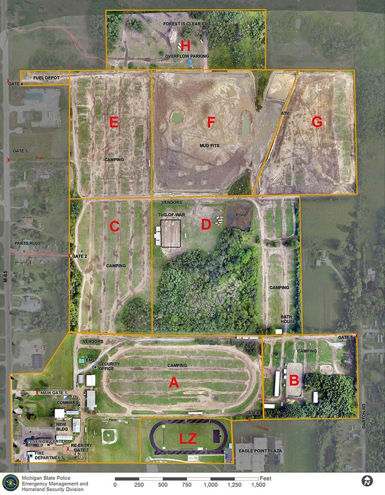
This orthomosaic served as a base-layer to overlay detailed annotations and define specific zones for reference. The resulting map served as a common operating picture.
Walter Chomentowski, Geospatial Intelligence Specialist, Michigan State Police, commented: “The MSP has 24 hour turnaround time for orthomosaic products. Using Pix4Dmapper allows us to produce them quickly. The orthomosaic editing tool is a key element, not available in other drone-to-map software.”
The drone program at MSP
Michigan State Police‘s mission is to provide the highest quality law enforcement and public safety services throughout the state.
Their vision is being a leader and partner in law enforcement and public safety, with a highly trained, full-service state police force that is mobile, flexible, and responsive to emerging public safety needs across Michigan. As part of this vision, the MSP launched their drone program to support law enforcement in 2013.
Since the launch of the program, the MSP has been using the Pix4Dmapper photogrammetry software to create maps and 3D models to support a variety of types of law enforcement and disaster response missions, including collision and crime scenes, arson investigations, event planning, and natural disaster response.
“The MSP schedules its aviation assets and can, therefore, collect data close to the start of an event. The Pix4Dmapper photogrammetry software helped us produce a finely resolved and spatially accurate orthomosaic within days of an actual event.” Mr Chomentowski continues.
Drone mapping allows security teams to create up-to-date digital maps and 3D models with a high spatial and temporal accuracy. These tools enable security managers to assess vulnerabilities, identify risks and critical spots, assign agent positions, model scenarios, and draw contingency plans accordingly. Each agent needs to know the site in detail – and thanks to drone mapping, they can work from a common operational picture.