
PIX4Dmatic 1.31: faster orthomosaics, and improved mesh!
We are halfway through 2022, and our software developers have been working hard to regularly update PIX4Dmatic. The software is rapidly changing and this latest release has a plethora of new features including improvements on the software’s quality report. Quality reports generated in PIX4Dmatic help professionals showcase the accuracy of their results and suggest improvements for future processing steps. The quality reports now include camera internal parameters which help the user assess the calibration procedure and make any changes needed (e.g. adding manual tie points or change the calibration processing settings) to improve it and boost the project’s overall accuracy. We are also very happy to announce that PIX4Dmatic is available in a brand new language: Korean!
Improved mesh generation!
Research and development is at the core of Pix4D. One of the latest achievements of our team is the improved mesh generation. With the new release, users can define the mesh template according to the project’s requirements and geometry and use a sky mask to enhance the mesh quality. The improved mesh generation algorithm in PIX4Dmatic now generates sharper and more geometrically accurate meshes.
Faster orthomosaics, efficient exports
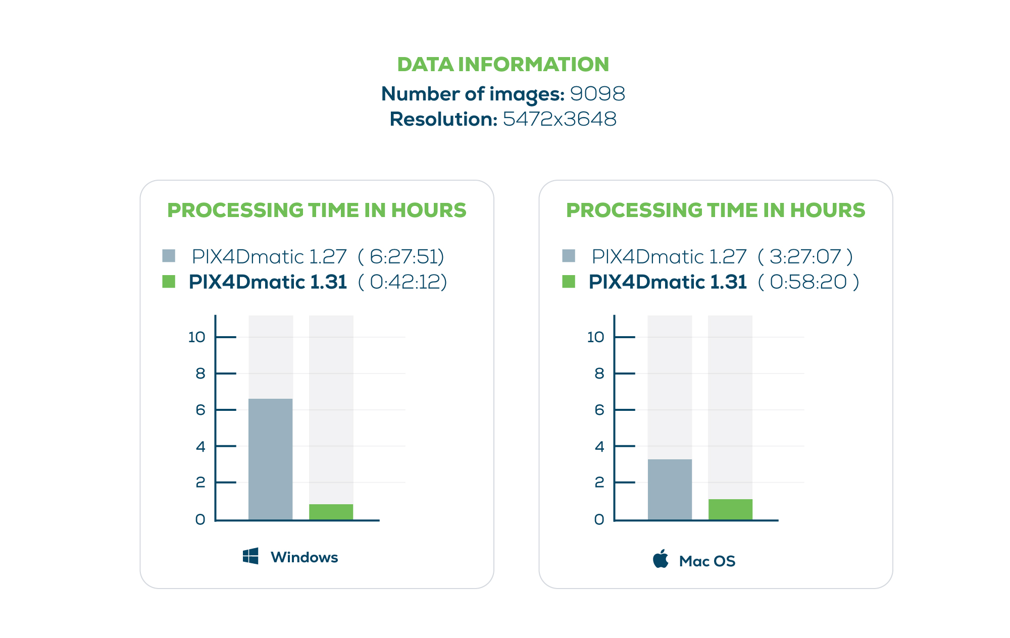
PIX4Dmatic is the ideal photogrammetry solution for professionals who need to produce accurate results as fast as possible. With this PIX4Dmatic release, one of the most essential photogrammetry deliverables, the orthomosaic, can be generated up to 10 times faster than in previous versions of the software.
In addition, the orthomosaic can be exported as a .jpg with a .jgw file for accurate geolocation. This feature comes following feedback from surveying professionals as a .jpg is easy to transfer, share and print, and can be used for professional presentations, demos, education, websites and online applications as basemaps.
New cameras, better workspace visualization, workshops and our Geospatial Offer!
Together with all above and more improvements that make mapping easier, PIX4Dmatic is expanding the list of supported camera models including:
- Autel Robotics XT705.
- DJI Hasselblad L2D20c (mounted on Mavic 3)
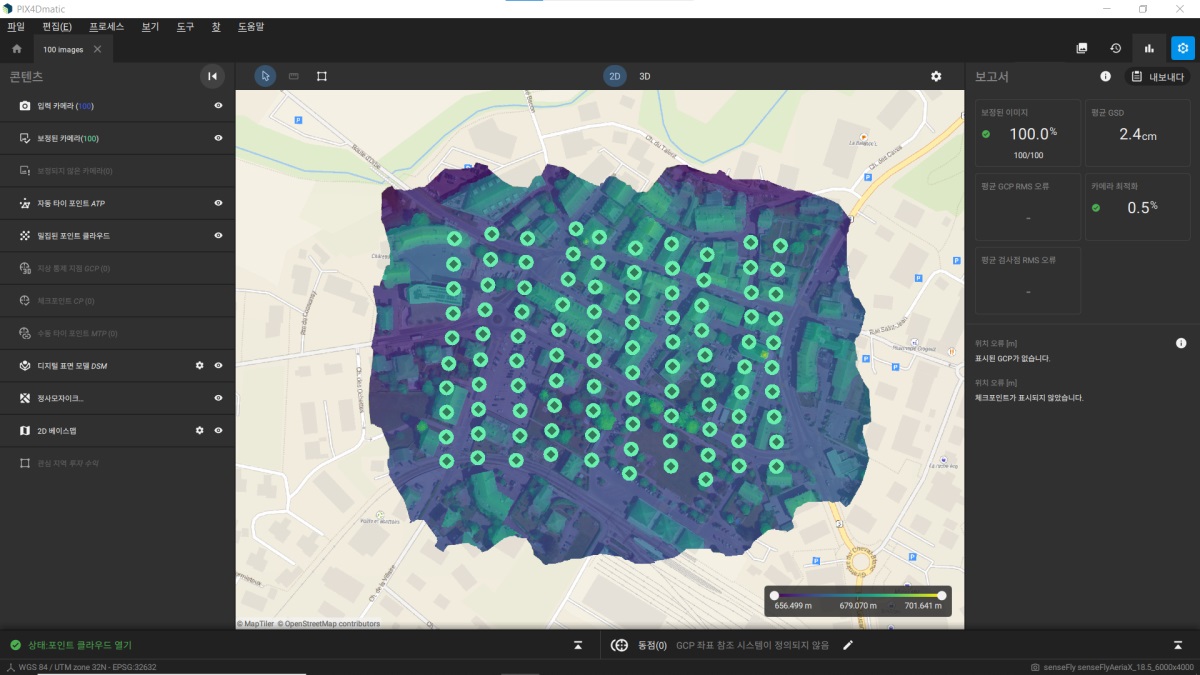
Furthermore, working with Manual Tie Points (MTPs) or GCPs is now smoother and more manageable as their size adapts to the zoom the user applied while working on the project. This change makes it possible to add more points in a small area whilst reducing any appearance of being overcrowded. Additionally, this makes it easier to add more tie points and still see the other points.
Check our blog, product page and feature list to discover all the valuable features and improvements that are coming and don’t miss our ongoing Geospatial Offer and our online workshops where our trainers can teach you how to get the most out of PIX4Dmatic.


