All wrapped up: Pix4Dcloud in 2020
As 2020 comes to an end, we want to share some of the most exciting features and updates about Pix4Dcloud this year. Keep reading and learn more about what we have been working on.
- A new era with Pix4Dcloud and Pix4Dcloud Advanced
- An updated interface with more capabilities
- Time saving and increased accuracy with AutoGCPs
- Improved 2D comparison feature
- Get the required outputs with processing templates
- Automated data uploads from DroneLink flight app
- Get a 3D model from your Pix4Dcatch data on the cloud
- Optimization for mobile devices and tablets
A new era with Pix4Dcloud and Pix4Dcloud Advanced
This summer Pix4Dcloud and Pix4Dcloud Advanced were introduced as standalone cloud software which can be purchased on top of other Pix4D products to offer you seamless integration into the Pix4D environment. The platforms differ in their functionality and which one is the right solution for you depends on the way you work.

Check out the differences between Pix4Dcloud and Pix4Dcloud Advanced.
An updated interface with more capabilities
The drive has been optimized to show you all of your projects and datasets in one place, making it easier and more efficient to find them.
All of your overlays, annotations, GCPs, and datasets are better organized into groups to help you arrange your workspace better. Move and hide group layers or create new annotation groups as easily as the click of a button.
Search functionality spreads across folders. A project can be searched for even if it is inside a folder.
Time saving and increased accuracy with AutoGCPs
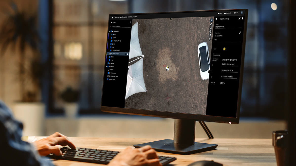
GCPs can be added to your projects on Pix4Dcloud Advanced. Avoid manual marking of GCPs on images by letting our machine learning algorithm do this instead of you - by marking them automatically.
Now that the AutoGCPs feature is available on Pix4Dcloud Advanced, there is no obstacle to having highly accurate projects on the cloud. Learn more about what GCPs are and why they are important or check our technical documentation to find out how AutoGCPs algorithm works.
Improved 2D comparison feature
Pix4Dcloud Advanced offers an improved 2D comparison feature to track site progress more efficiently. To offer a better experience in this mode, the timeline is disabled. All of your annotations are visible and your previous dataset is on the left of the screen.
Get the required outputs with processing templates
Select only the outputs you need
Decide whether you want 2D, 3D, both 2D and 3D outputs or multispectral maps. Just click on the preferred option:
- 3D maps - for orthomosaic, DSM, 3D point cloud and mesh outputs which are typical for quarries and cadasters.
- 2D orthomosaic - mostly used for agricultural fields, this option will generate an orthomosaic.
- 3D models - used for 3D textured mesh and point cloud, ideal for 3D models of buildings, objects, inspection or indor imagery.
- AG multispectral - for NDVI maps which are perfect for the agriculture industry.
Find out more about processing templates in our technical documentation.
Quality vs Speed
Once you select the preferred output option, you can choose between better quality of data and faster processing. Select the Quality option if you need good output quality with high accuracy or choose the Rapid option if you want faster results with less accuracy.
Automated data uploads from DroneLink flight app
Avoid the time-consuming manual upload of images and have your dataset directly on the cloud, ready to use whenever you are. No need to switch between apps, upload images directly from the Dronelink interface and save your time for other tasks.
Read more about Pix4Dcloud and DroneLink integration in our article.
Get a 3D model from your Pix4Dcatch data on the cloud
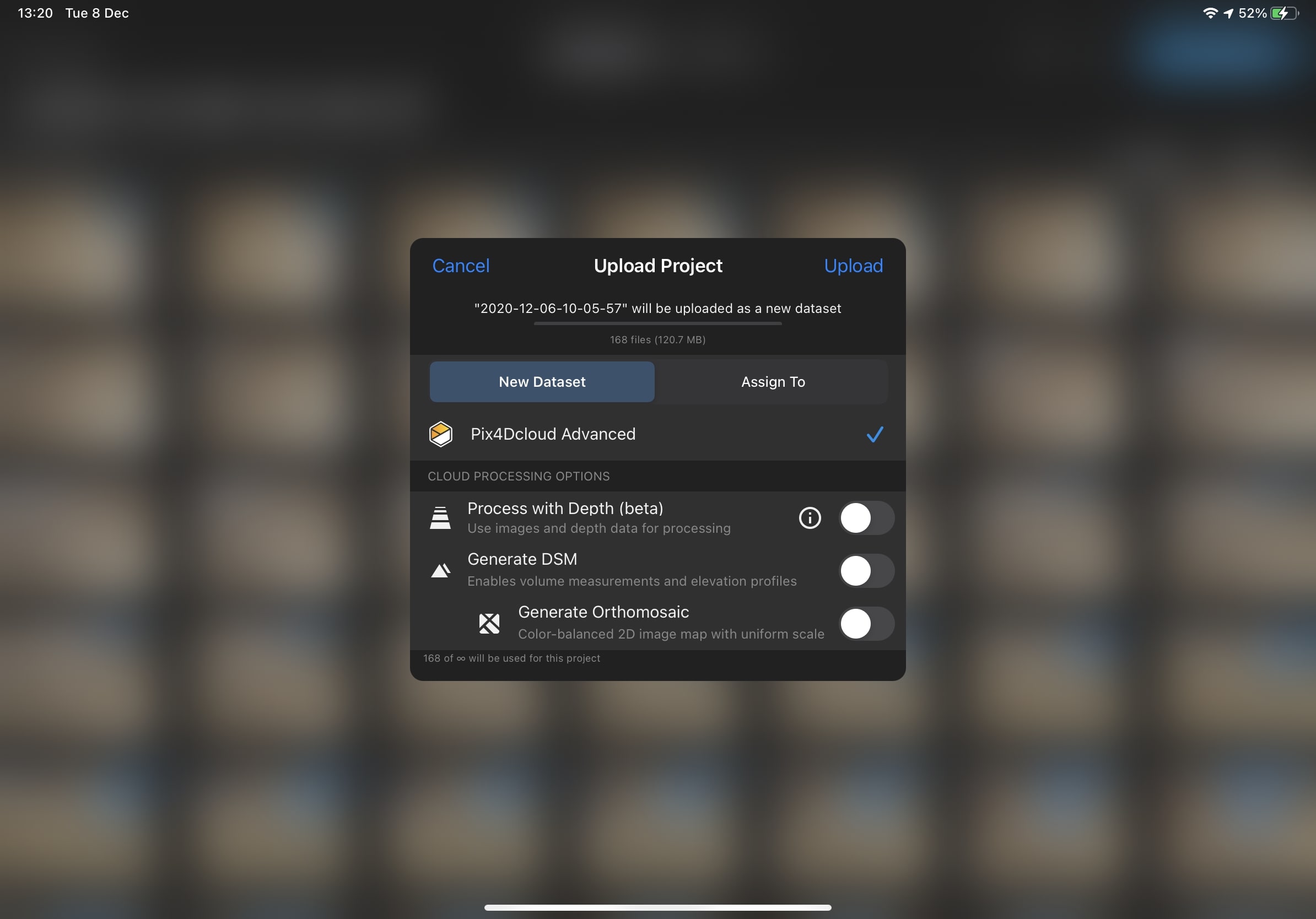
Record your area of interest with Pix4Dcatch and a LiDAR-equipped iPad Pro or iPhone 12 Pro. Have your images directly uploaded to Pix4Dcloud from the app interface and generate accurate, scaled and easy-to-share 3D models and point clouds ready for measurements.

Optimization for mobile devices and tablets
Work hassle-free on Pix4Dcloud or Pix4Dcloud Advanced from your mobile device or tablet. Zoom in and out by pinching two fingers. Click on the “Show my current position” button to see your exact location on the ortho or DSM. Check out our technical documentation to learn about mobile and tablets optimization.
What's next?
Let us know what you want to see on Pix4Dcloud. Share your thoughts on our Community.


