
DJI Phantom 4 RTK: next gen accurate drone surveys
When it comes to drones, we are used to seeing fast, yet incremental technological progress. A new camera. Better battery life. But the DJI Phantom 4 RTK doesn’t offer slight improvements: it’s a completely different way of working. And Pix4D supports it on both desktop and cloud processing.
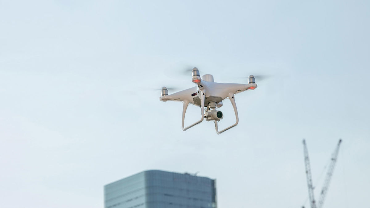
The DJI Phantom 4 RTK looks like a normal quadcopter drone. But it represents a massive step forward for surveyors and everyone that uses drone mapping by making accuracy more automatic.
While RTK has been available in fixed wing drones for a while (nowdays, intrepid DIYers have the option of adding on RTK/PPK or creating a custom RTK copter) this latest release from DJI is the first quadcopter drone with RTK built in at an accessible price.
What is RTK?
RTK stands for Real Time Kinematic corrections for differential GNSS processing. The GNSS receiver of the drone allows this type of corrections.
For the DJI Phantom 4 RTK, the base station can be either a physical one like the one DJI offers, or a virtual one to which you connect through a GSM (mobile phone using e.g. 4G) network. The camera position is calculated in real-time, and the images are located accurately to within a couple of centimetres, reducing processing time and leading to more accurate results.
DJI Phantom 4 RTK: processed with Pix4D
Images from the Phantom 4 RTK can be processed with any of the Pix4D product suite. Track progress of your construction site in PIX4Dcloud, or create an accurate orthomosaic in PIX4Dmapper.
With the 20 megapixel camera, your outputs will look great - and they’ll be accurate too.
RTK plots each image precisely in space, reducing processing time, and ensuring high-quality results. With the latest software release, the accurate geolocation pipeline can save up to 40% of processing time for large datasets.
Michael Cutfield, Survey Manager at Northern Express Group helped unbox a new Phantom 4 RTK and took it for a flight to test the accuracy of the results. Michael and the team processed in PIX4Dmapper. They found the Phantom 4 RTK produced results with a mean RMS error of just 1.6cm in the X axis, 1.8cm on the Y axis, and 4cm on the Z axis.


