Overcoming the construction industry's biggest issues
Teams of staff and stakeholders who need to understand complex information, resistance to technological solutions, physical danger to your team, and sprawling worksites in remote locations are just a few of the issues the industry faces every day.
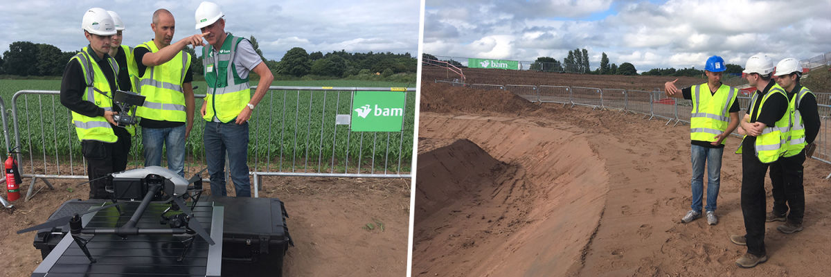
Innovations in construction industry and technology have begun to overcome these challenges. Innovations are driven in part by events such as the recent BAM Digital Construction Live Conference in Whitchurch, UK.
Insights from BAM digital construction live conference
Pix4D was invited to join this private event organized by the construction company BAM, in collaboration with Hawk, Leica Geosystems, and Autodesk. More than 300 visitors from across BAM’s businesses discussed the future of digital construction technology over the two-day event.
Problem: inefficient projects waste time and money
Productivity in the construction industry is a burning issue. With the increasing complexity of construction projects, recurring cost and schedule overruns, contractors need to find solutions to improve projects' efficiency and profitability.
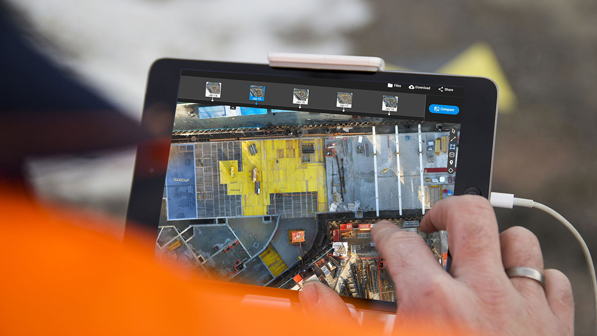
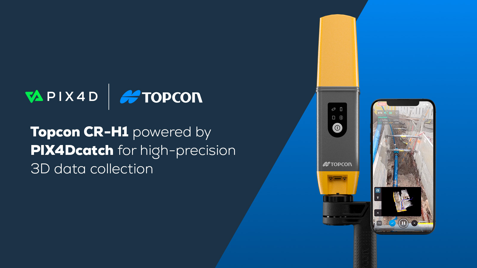
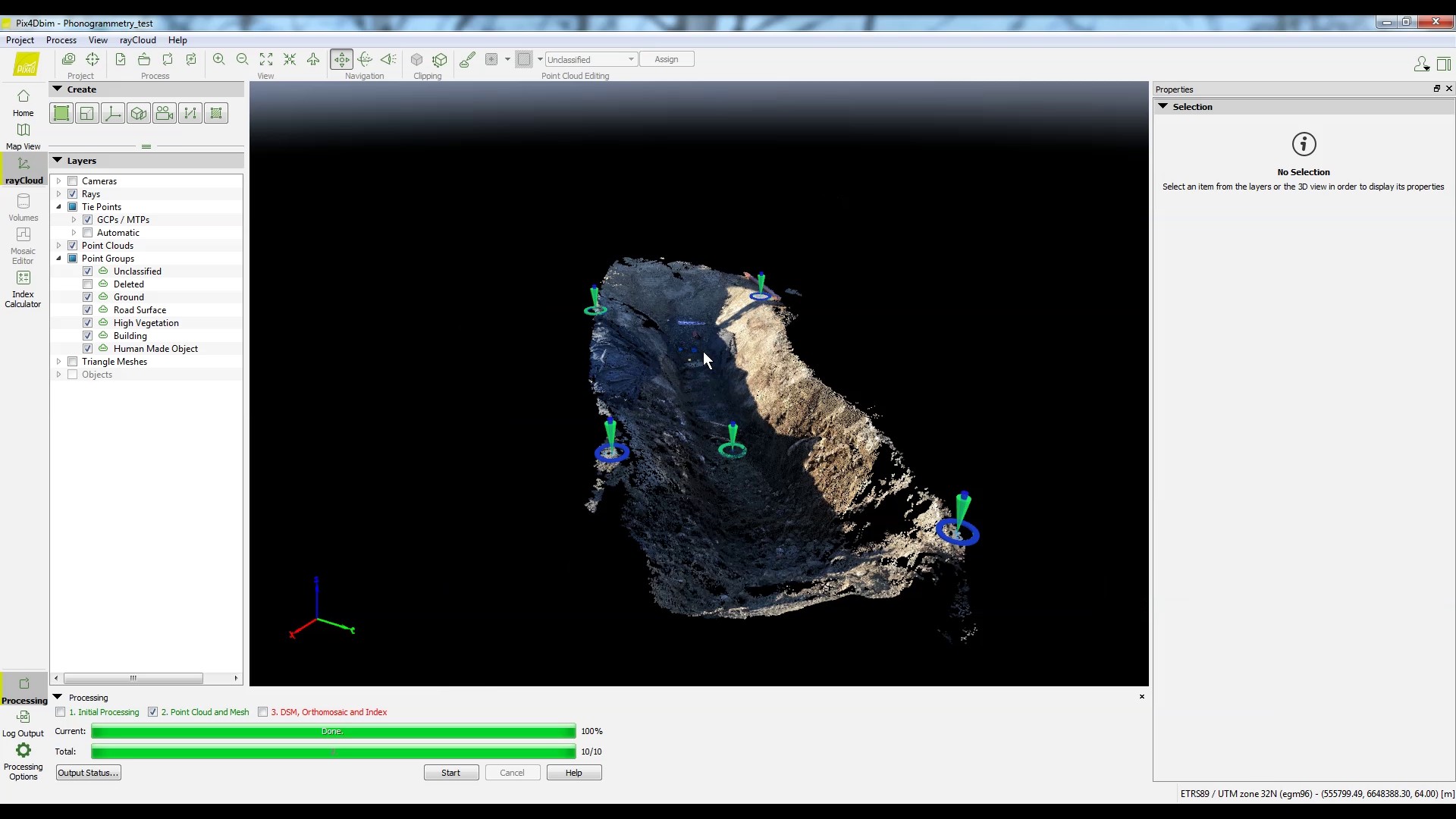
Tracking and communicating site progress is often the source of the problem. With PIX4Dcloud Advanced, a dedicated solution to construction professionals, we facilitate site surveys and as-built monitoring using drone data and, when drone flights are not possible, using Pix4D Crane Camera solution.
PIX4Dcloud Advanced is simple: it is a cloud-based collaborative platform to process, view, analyze, inspect and share results. It sounds simple, but the results have the potential to transform a construction site. The software’s aim is to change the way projects are managed, and the platform is designed to simplify project data sharing between all stakeholders. Keeping all the project teams regularly informed about the site progress allows better coordination and collaboration.
Whether flying a drone or adopting the CraneCamera solution, collecting and measuring as-built data from the jobsites has never been faster and easier, thanks to PIX4Dcloud Advanced platform. The early detection of errors and schedule deviations is now possible and can save time and costs for reworks at later stages. The Pix4D software enables project completion on time, on budget and as intended.
Problem: the industry can be slow to adopt new technology
Although the benefits of digital technologies have already been widely recognized, the construction industry has only just begun to adopt them. The McKinsey Institute estimates the industry is operating at only 12% of its digital potential in Europe and 18% in the USA. The lack of financial resources, the risks involved and the complex process of integrating new technologies can explain the underinvestment and slow adoption of emerging technologies in construction.
Another part of this issue is that drone technology has traditionally been seen as very specialized and difficult to work with. There’s a misconception that experts need to be on-site to capture images. However, Pix4D provides easy-to-use and affordable solutions to help the construction industry adopt new technologies and start operating in its full digital potential.
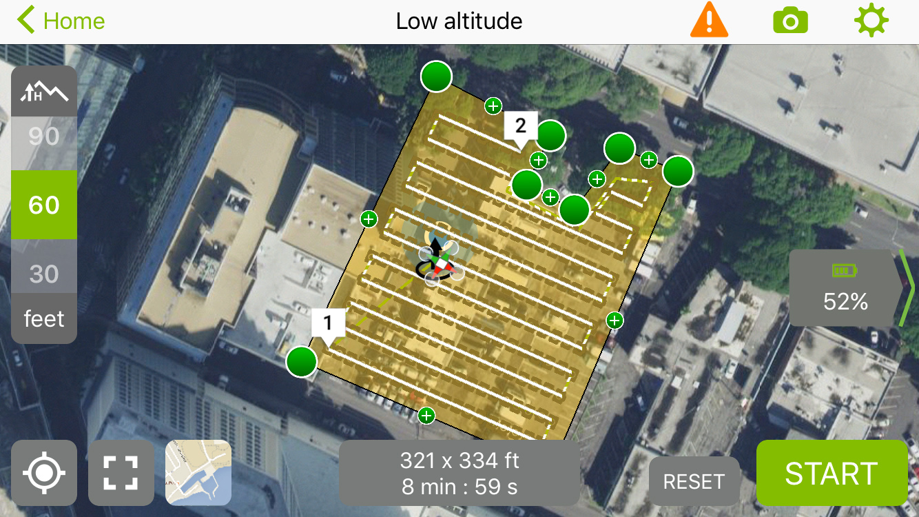
With PIX4Dcapturе app, it is easier now than it ever has been to plan and execute a drone flight. This entirely free mobile app has built in different flight plans to add flexibility to your projects and enables everyone to effortlessly execute a drone flight at no additional cost.
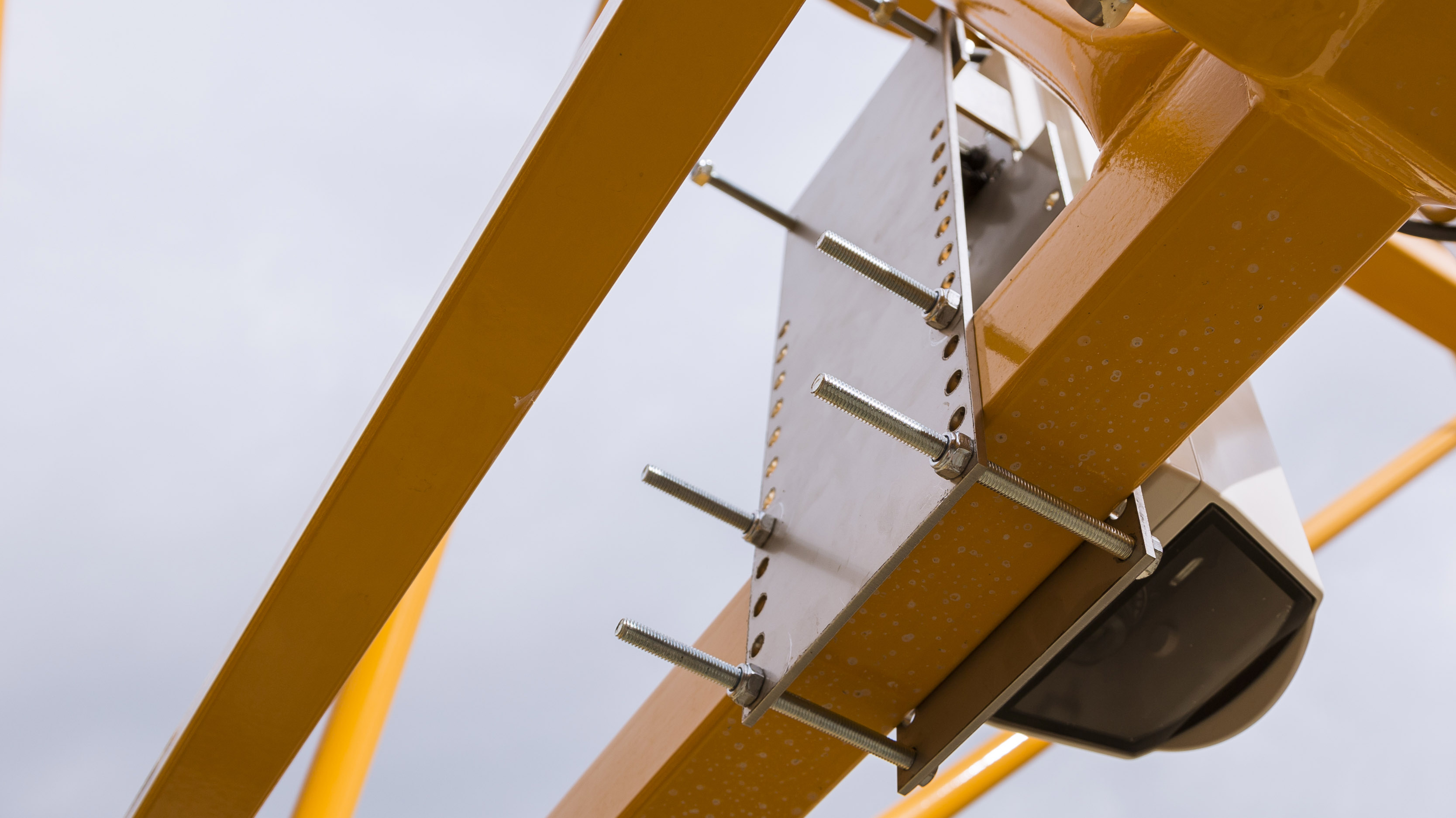
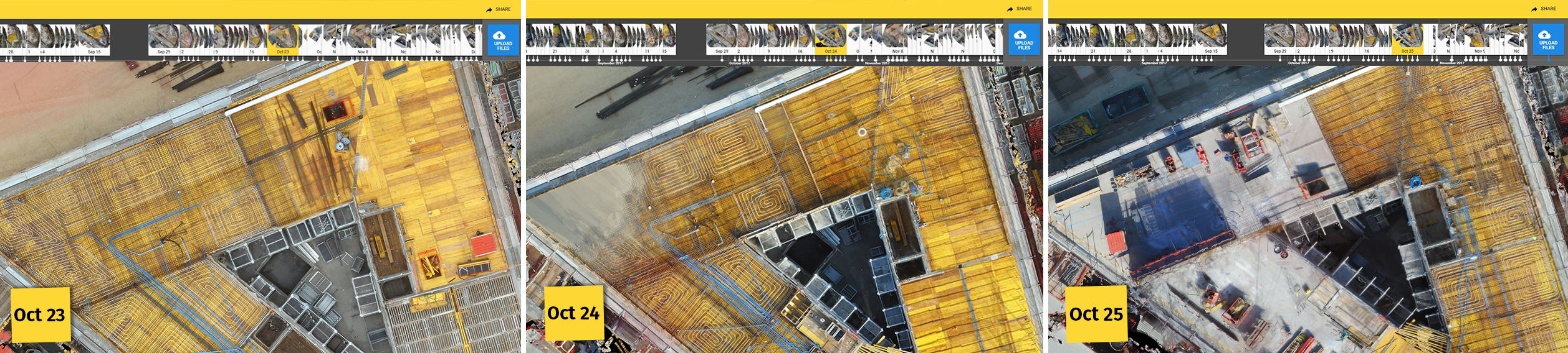
Pix4D CraneCamera is a fully automated solution for daily as-built updates of your project in 2D and 3D. It has never been faster, more cost-efficient and easier to get as-built data every day without even going on site.
Problem: jobsites are dangerous places
By some measures, construction is one of the world’s most dangerous careers. Keeping workers safe should be construction managers top priority and Pix4D offers two great solutions to support workplace safety.
Drone mapping in conjunction with PIX4Dcloud Advanced, can identify potential hazards and minimize risks before it is too late. Inspecting dangerous jobsites and monitoring hard-to-reach areas from a safe distance can potentially save lives. With drone mapping, it is easy for all stakeholders to have all the real-time critical information about the safety of the jobsite at any time.
Working entirely autonomously, Pix4D CraneCamera helps also to prevent potential risks on the jobsite. No need for workers to walk around the construction site, the CraneCamera solution provides regular monitoring automatically and remotely.
Problem: data isn’t always accurate or easily available
With traditional surveying methods, collecting jobsite data can be a long and cost-effective process meaning that data may be missing or not always up-to-date. Machine control is another tool which can provide greater efficiency in jobsite surveying.
At Pix4D, we have now an innovative approach for tracking site progress using machine control processes: videogrammetry. Based on PIX4Dcloud Advanced platform, excavators integrating machine control technology, and smartphones – or just any device able to capture video– this approach is easy and efficient. And you don’t need to be a surveyor to collect data.
This machine control approach removes the need for daily inspection by surveyors on site progress and allows your team to easily generate accurate and georeferenced data.