
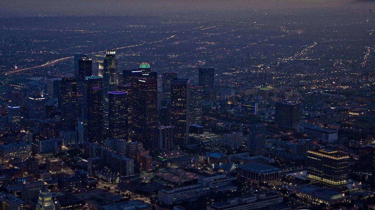
Light up the city: night image capture for LED lights
California is known as the Golden State, renowned for its nice weather and coastal setting. But even California struggles with the dark and following the arrival of winter, keeping the state illuminated in the evenings is done by street lights rather than the sun. However, there is a fine line between having sufficient lighting and causing too much light pollution. Maintaining the lights helps with public safety for traffic and pedestrians; keeping up to date with modern lighting is better for both the environment and for residents.
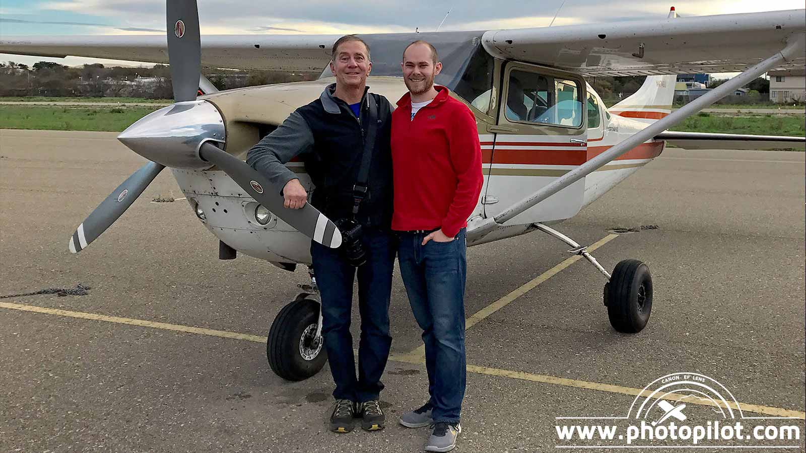
West Coast Aerial Photography, Inc., a family business based in Los Angeles, California, has been in the aerial photography field for over 20 years. Flying manned-aircraft for most photo and video missions, this father-son team has the expertise and tools to take on even the most demanding and unusual aerial photo missions.
The company was asked to document the transition of city lighting from the existing halogen system to more modern, low-cost LEDs. LED lights are far more energy efficient than halogen or incandescent alternatives. LED bulbs also contain no toxic gases within the glass and give off minimal heat, limiting energy inefficiency.
The impact of these changes can’t be easily compared during the day, and instead has to be photographed at night. The project started with ‘before’ images collected in 2019 and ‘after’ images gathered in 2020. The comparison would allow officials to review the success of the light replacement and evaluate the benefits of rolling it out further.
Project details
| Location | Temecula, California |
| Total number of images | 53 (before) 98 (after) |
| Area covered | 16 km2 , 6 miles2 |
| Software | PIX4Dmapper |
| Hardware | Nikon D800, SONY A7R IV |
| Image resolution | 36 megapixel, 61 megapixel |
| Processing time | Less than 1 hour |
| Delivery time | Under 24 hours per site |
Challenges of night photography
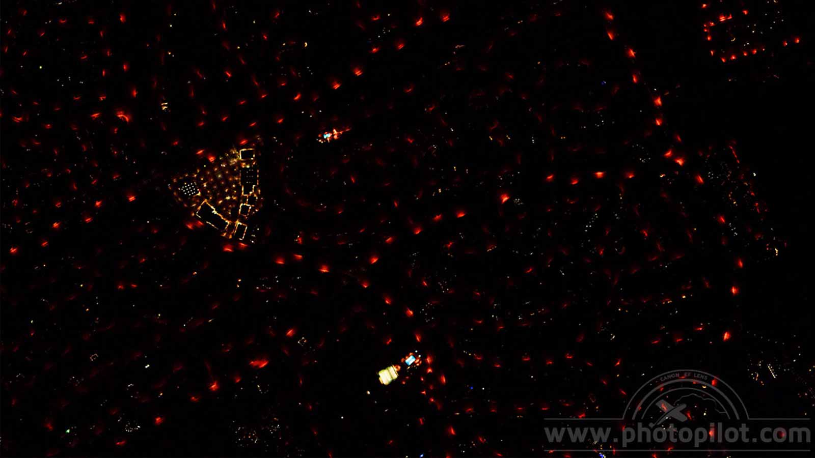
There are many challenges involved with night aerial image capture, not least of which is locating the site in the dark while flying at 115 mph (185 km/h).
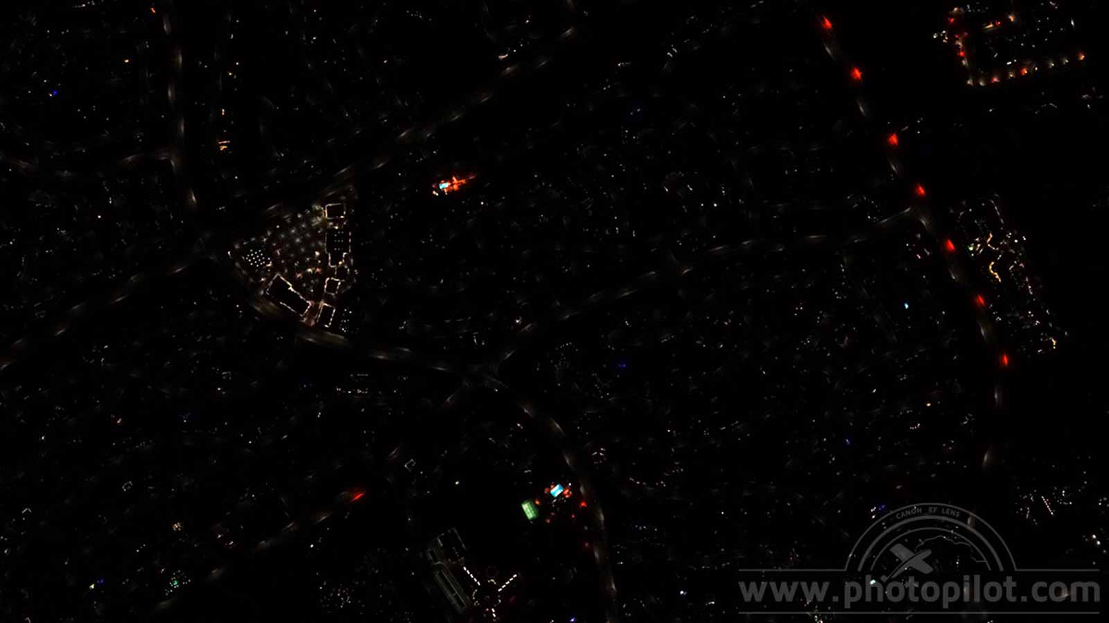
West Coast Aerial Photography, Inc. used a small aircraft to fly over Temecula, California, carefully navigating the complex airspaces in Southern California and maintaining constant contact with air traffic control. With a pilot and co-pilot in the front controlling the plane and coordinating the photo mission, while the photographer was in the back operating the camera. The dim lighting meant they had to tailor the camera’s exposure settings to suit the available light, pushing the camera’s low-light capabilities to the limit. The camera focus also had to be carefully adjusted to take photos of the LED systems. The set-up had to be faultless in order for the images to be sharp, properly exposed and without too much noise. Luckily, for both of the aerial photo missions the weather was good as expected, posing no disruptions or restrictions to the flight.
Comparing old and modern light technologies
The delivery time on this assignment was rapid: 3 hours for photo collection of the Temecula project (and 5 others) and under an hour to process the data. The projects were spread across several locations in Southern California, so using a light aircraft was the most cost-efficient and appropriate method for collecting data. The airplane is faster and can cover a larger distance than a helicopter or drone. In addition, flying a drone over a residential area at night in proximity to an airport, as some of the sites were, is extremely dangerous and restricted. The light aircraft is also better for flying between locations over a big area, which a drone could not do. The resulting visual comparison between the lighting is clear, showing that the energy efficient LED lights provide better coverage and less light pollution.
Using PIX4Dmapper meant that West Coast Aerial Photography, Inc. was confident in their dataset, reaching their accuracy expectations. Following the results of this project, the local officials in California could clearly see the efficiency of the LED lighting system coverage, where even a brief visual analysis shows the change in illumination.
“This was a specialty project that allowed us to see the low-light capabilities of our cameras and how the Pix4Dmapper software is able to handle non-traditional datasets. We’re very impressed with the advancements in camera technology and hardware processing power that allowed us to maximize our usage of Pix4Dmapper.”
Steven Holtzman, CTO of West Coast Aerial Photography, Inc.
The goal of this project was to see if the new lighting was more efficient, so there is better placement of lights which can help cut down on unnecessary light pollution. Southern California has been left brighter by the conversion to LED lights, as well as more environmentally friendly by reducing light pollution and energy consumption. When viewed from above, the difference is clear, and will help make the darkness of winter safer and more bearable for residents of the Golden State.


