Drone mapping takes off in Malawi with Pix4D & UNICEF
Drone technology has improved to the point where it’s easier than ever to take off. Flight planning apps such as Pix4Dcapture help aspiring pilots take to the skies. But what happens next?
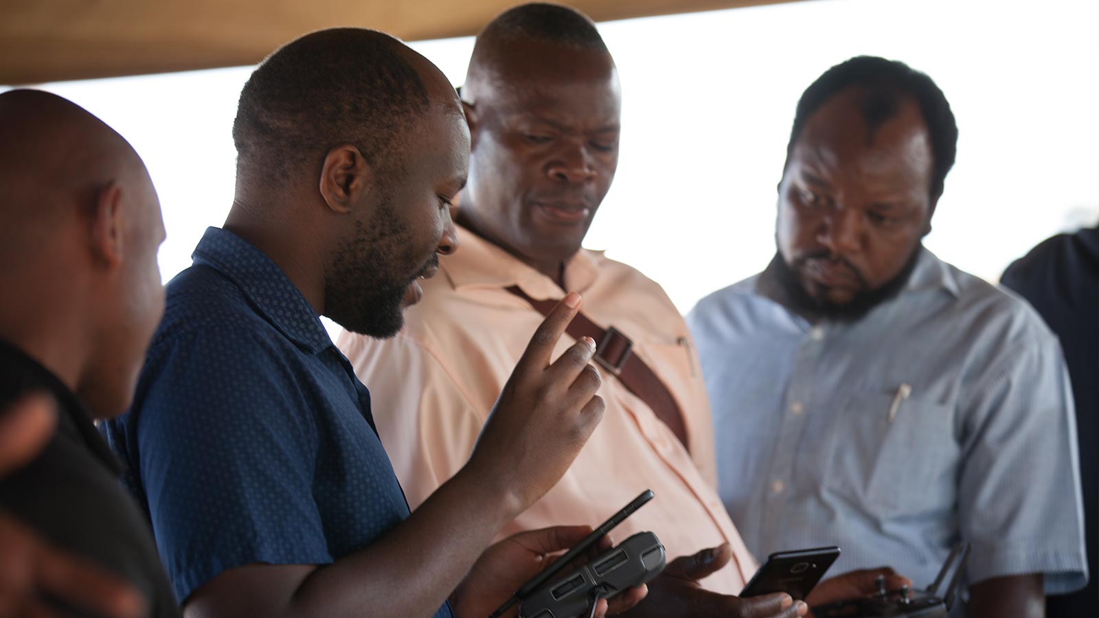
“People in Malawi are able to fly the drones,” says Innocent Chifundo Manyera, IT Officer in the Malawi Department Of Disaster Management Affairs (DoDMA). “But what was lacking is the actual processing of the data captured using drones. Processing within a short time, and as well as being able to process within a short time have accurate results.” She adds: “Flying a drone is nothing if you don’t include data processing.”
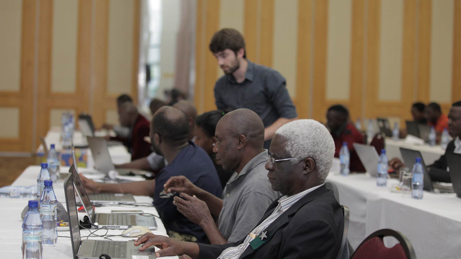
In 2017, the government of Malawi and UNICEF launched an air corridor to test the use of drones for humanitarian purposes – the first in Africa and one of the first globally with a focus on humanitarian and development use. In this context, UNICEF Malawi hosted Pix4D for a 3-day workshop in the capital city Lilongwe aimed at local participants from a range of different sectors. The work’s objective was to learn more on how they can purposefully plan, capture and process and apply drone data into their work.
At a glance
| Collaborators | Pix4D UNICEF Malawi |
| Training type | Custom training |
| Participants | 35 |
| Workshop length | 3 days |
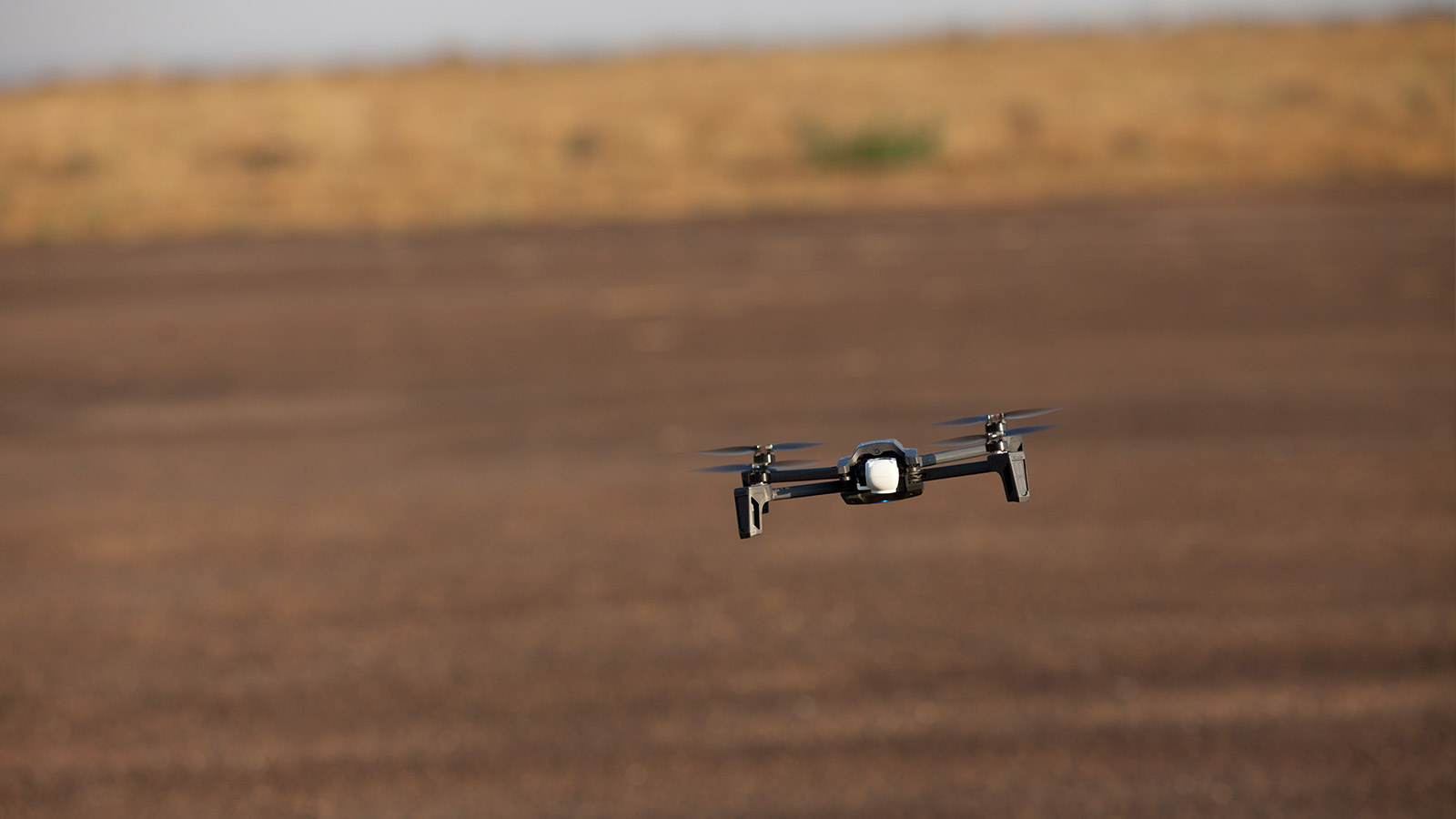
| Hardware | Parrot Anafi DJI Mavic |
| Software | Pix4Dcapture Pix4Dmapper Pix4Dfields |
Drones for good in Malawi
Tautvydas Juskauskas, Drone Lead at UNICEF Malawi explains: “Together with other partners in international development and the humanitarian sector within Malawi, we are increasingly using drones for various purposes. We use drones for medical commodity delivery, but also we are using drones more and more to capture aerial images and then create orthomosaics, 3D models and other digital outputs that would help us for emergency response but also for our key programmatic activities.”
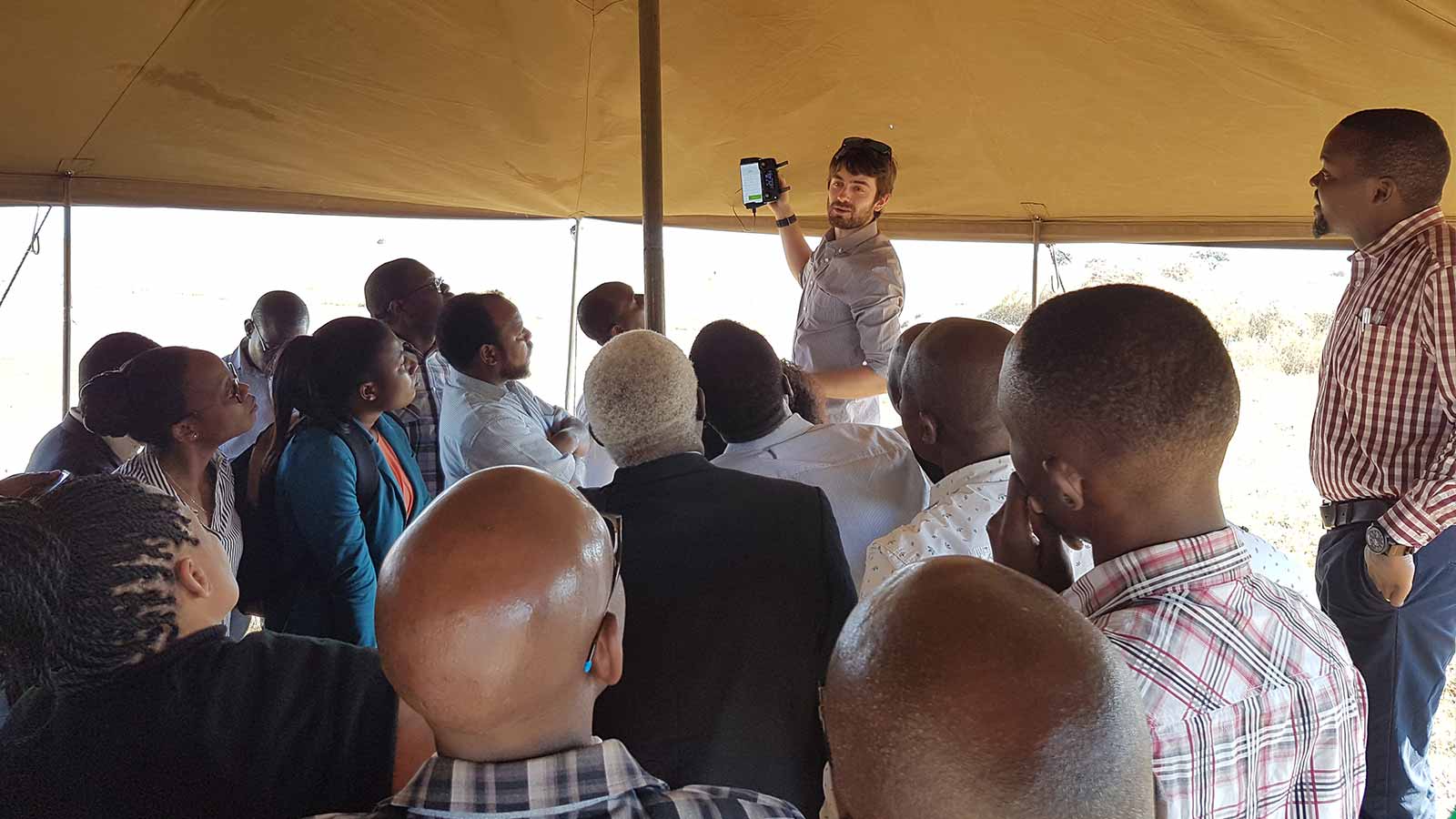
Speaking from the custom Pix4D Workshop in Lilongwe, Malawi, Juskauskas continued: “The increasing demand has suggested that we need to build the local capacity of our academic and governmental partners... That’s why we came to the idea of this workshop: to gather people from different sectors. Private, non-profit, academic and government. [This workshop is] to raise awareness of existing photogrammetry tools but also to increase their capacity in validating the aerial imagery, processing it and meaningfully using it for many different purposes.”
The participants were from a diverse range of fields. They included a hydrologist; physical planning and GIS officers; a cartographer, surveyor and photogrammetrist, as well as a lecturer in forestry and a professor in geosciences.
In the three-day workshop, the group learned how to:
- Produce accurate 2D and 3D representations of reality with RGB, thermal, or multispectral images
- Acquire accurate geometric and radiometric measurements
- Share deliverables with stakeholders
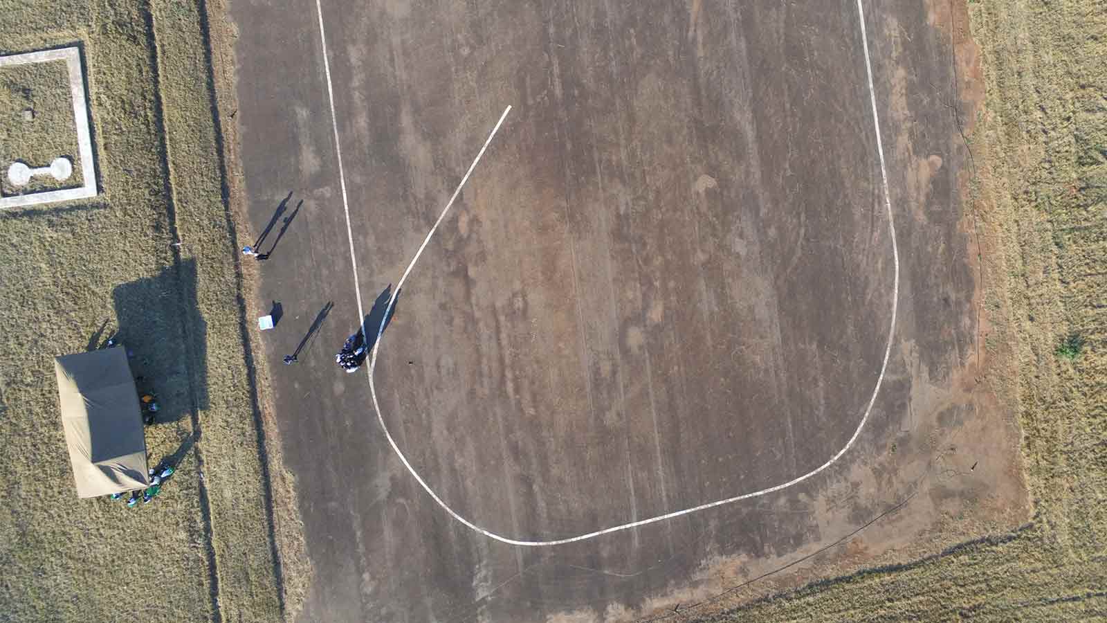
The workshop was hands-on, including planning and flying drone missions at old Lilongwe airport.
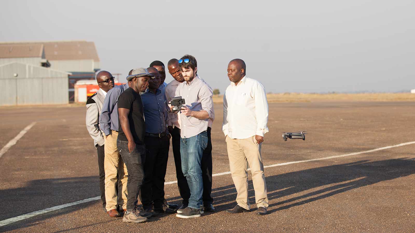
Christopher Chikaonda Sinkonde commented: “I will never forget operating a drone. It was the most fantastic experience.”
Sinkonde is a GIS and Mapping Officer in the Malawi Department of Surveys. “The Department of Surveys is the only department which is responsible for map production in the country,” he says. “One of the key benefits… is a drone can map a certain geographical area in a couple of minutes, and the data can be processed in a few minutes or hours.”
He added that he hoped to acquire drones and Pix4Dmapper for use in the Department of Surveys, as the updated maps could save both money and time. “With the drones we should be able to provide the updated maps at a reasonable price... Pix4D training will enhance and improve our mapping technology.”
UNICEF Malawi and Pix4D
Updated survey maps aren’t the only reason why UNICEF wanted to bring Pix4D training to Malawi.
Juskauskas explained that in March 2019, a flood devastated Malawi, impacting over 700,000 people. UNICEF Malawi’s drone team joined an inter-agency assessment group in the wake of the flooding.
“We realised we really needed additional analytical tools to process all the data,” says Juskauskas. “This is when we asked the Pix4D team to help us process the data.”
Even after the assessment was complete, the UNICEF team stayed in touch. “There is a demand in Malawi among academics as well as government entities to really learn more as to what is photogrammetry and what are the tools to analyze aerial imagery. That’s when we decided we wanted to collaborate on this workshop,” says Juskauskas.
The next generation of photogrammetrists
One such academic is Chresceuntia Matambo Msasa, a Lecturer in Geomatics at the University of Malawi Polytechnic College.
A classically-trained photogrammetrist, Msasa is excited by the possibilities of drone mapping. “Previously we used to have big machines for image processing, but with this new technology we can actually fly the drone!” she says. Msasa sees the value of drone mapping in accademia: “We can use it for data collection during research we can also use it for teaching our students how to collect geospatial data.”
Richie Muheya, a lecturer in ecology agrees. His own research includes mapping ecosystems throughout the country. However, “There was a lot of gaps of spatial information that we don’t have in Malawi. This technology gives us an opportunity to create spatial data almost simply… I think it’s really an opportunity for me.”
He adds that “A lot of students in our university are very excited about technology. So this is a different way that we can teach them when we teach them about spatial ecology or landscape ecology and the different technologies that are now out there.��”
Juskauskas agrees. He concludes: “It is great to see an increasing interest of using drone technology for development, resilience-building, emergency preparedness, planning and research. My hope is that in the next couple of years, we have a vibrant drone ecosystem in Malawi, that focuses on actual problem solving through scalable drone operations, local capacity building and the creation of business opportunities.”