Advancing sustainable agriculture with PIX4Dfields
The recent increase in agricultural cultivation has been advantageous for crop yields, however, it has also led to the increased use of herbicides. This comes with its share of disadvantages, such as resistance development, harm to soil organisms, and water pollution. Additionally, rising product prices pose economic challenges for farmers. In response to these concerns, the Digital Experimentation Field Southwest, funded by the Federal Ministry of Food and Agriculture (BMEL), explores approaches and applications to make agriculture more sustainable and environmentally friendly, which is why they used Pix4Dfields' Magic Tool.
The Digital Experimentation Field Southwest
The Digital Experimentation Field Southwest is one of fourteen experimental fields sponsored from 2019 to 2025. The primary objective of this project is to promote cross-sector and cross-farm data management to support agricultural value-added systems in Rhineland-Palatinate.
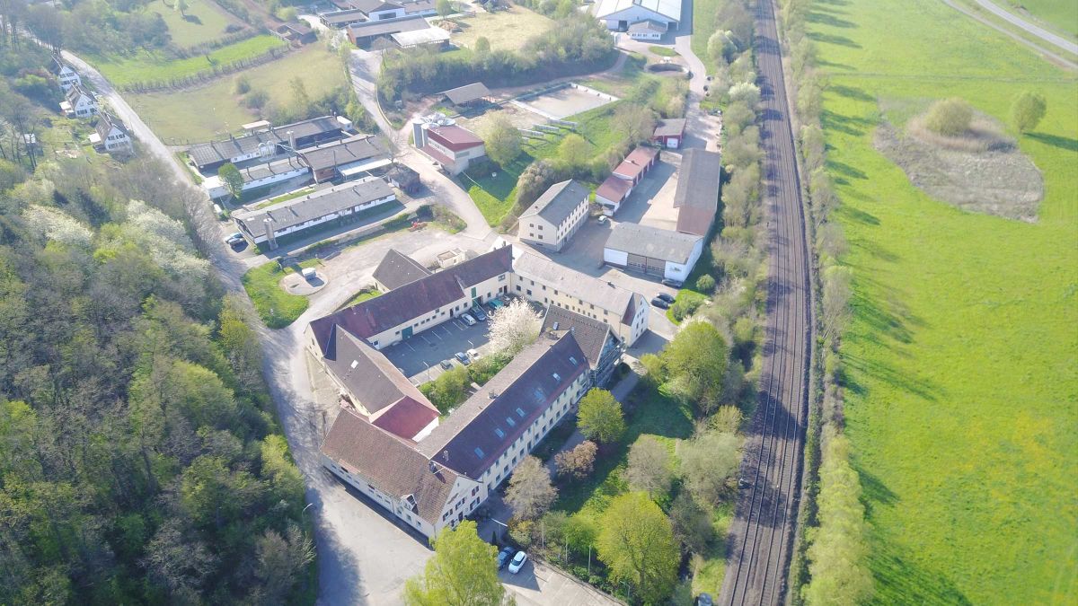
One of the aims of the Living Lab structure, set up as part of the Experimentation Field Southwest, is to test applications in the field. This work is being carried out in cooperation with the Teaching and Research Institute for Livestock Husbandry Hofgut Neumühle. Other use cases in the Experimentation Field Southwest are sensor-based fertilizer application, viticulture (focusing on logistics chains, energy management, and steep slope robotics), growing fruit (emphasizing labor efficiency and decision modeling), and beekeeping.
Sustainable agriculture through PIX4Dfields’ Magic Tool
In today’s agriculture, a major concern is the heavy reliance on herbicides. The challenge is to find ways to reduce this reliance while efficiently controlling weeds in places where crop losses pose significant economic risks. The ultimate objective is to adopt environmentally friendly and sustainable practices by embracing targeted and site-specific approaches for plant protection.
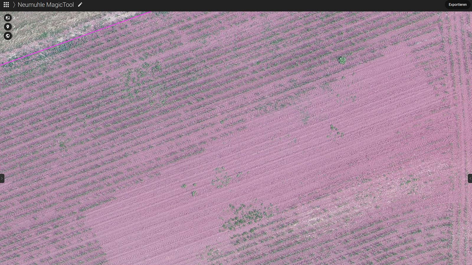
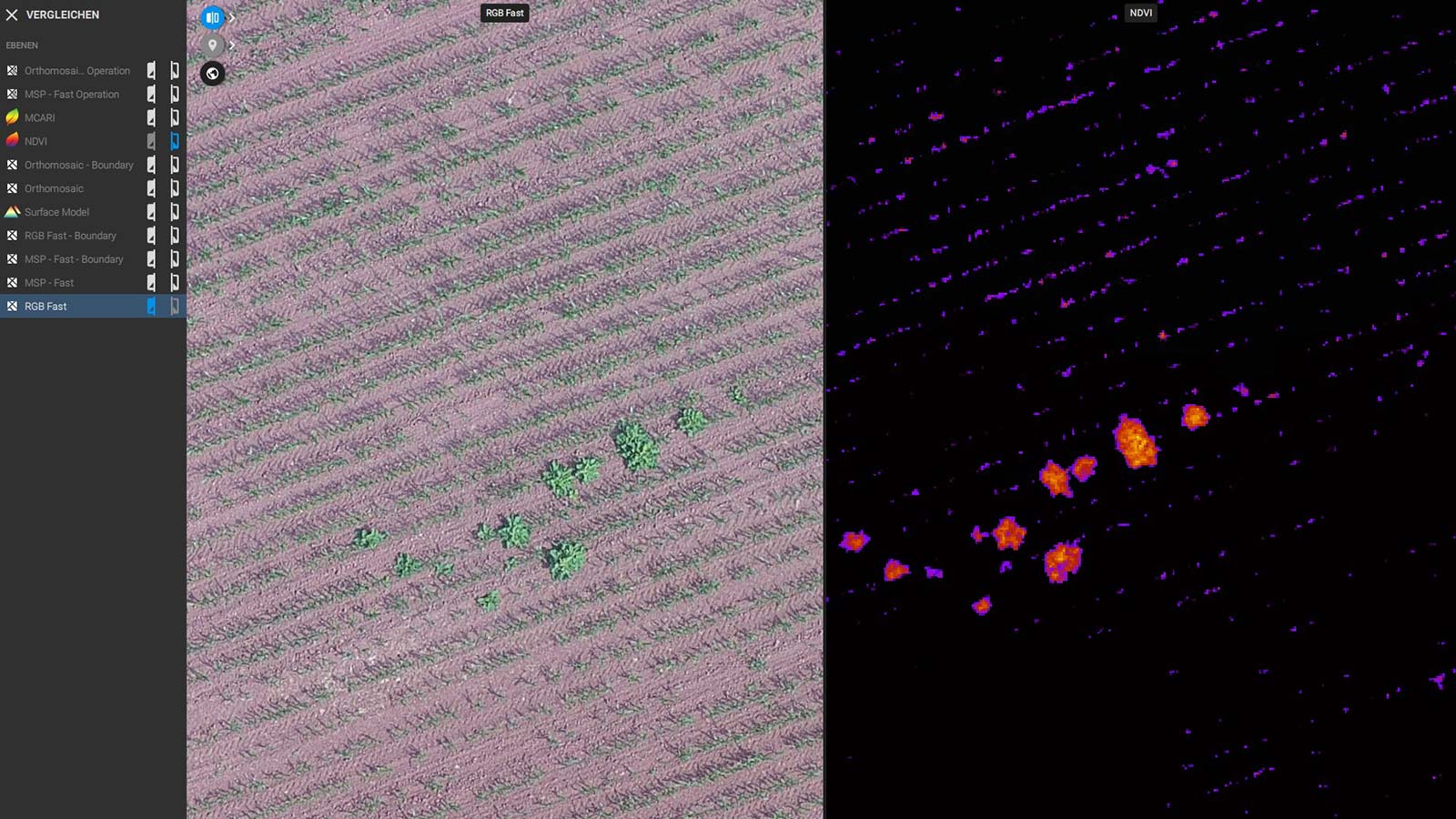
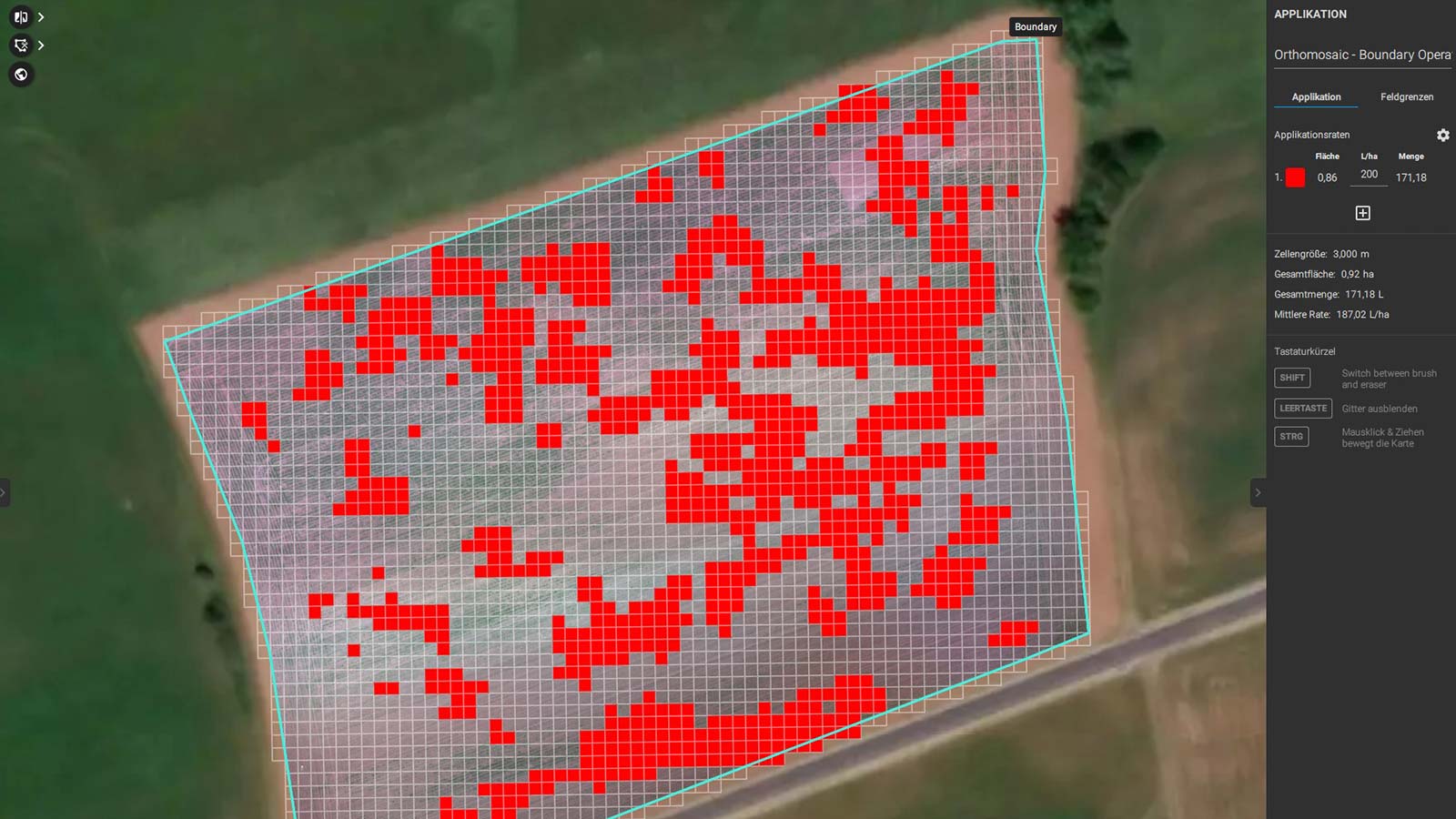
To achieve this, the Digital Experimentation Field Southwest has embarked on a project using PIX4Dfields' Magic Tool, which involves creating application maps for targeted herbicide treatment based on RGB drone images. The researchers tested the Magic Tool by comparing conventional and site-specific applications to gauge herbicide savings.
Project details:
| Location | Rhineland-Palatinate, Germany |
| User | The Digital Experimentation Field Southwest |
| Project duration | 2 weeks |
| Area surveyed | 6.798 ha, area boundary 2.781 ha |
| Software used | PIX4Dfields |
| Hardware used | DJI Matrice 200 drone with Zenmuse XT 2 and MicaSense RedEdge |
| Processing hardware | Windows 11, 16 GB RAM, 1 TB SSD, GeForce RTX 2070, AMD Ryzen 5 3600 |
| Processing time | 10-15 minutes |
| Images captured | 736 .jpg, 1345 .tif in a single overflight |
| GSD | 1.731 cm |
The project so far: efficient data processing with PIX4Dfields
With this project, Digital Experimentation Field Southwest wants to see the Magic Tool's potential for addressing their challenge: cost-effective and sustainable farming. While herbicides can offer benefits to crops, they come with many disadvantages, such as herbicide resistance, damaging soil organisms and animals, and water pollution. Herbicides are also expensive and prices are constantly rising.
By using the Magic Tool, Digital Experimentation Field Southwest managed to collect image data and create prescription maps for targeted spraying. The data was processed quickly and the software was easy to operate, making it an excellent tool for creating maps based on RGB data. The drone they’re using for this project is a DJI Matrice 200 equipped with Zenmuse XT 2 and MicaSense RedEdge sensors.
The prescription maps they have created will allow them to target the problem areas with a spray drone, tractor, or field sprayer, thus reducing the financial and environmental disadvantages associated with herbicide use. The next steps for the Digital Experimentation Field Southwest will be the targeted herbicide application on the highlighted areas where the weeds are in the field.
“PIX4Dfields offers fast data processing and is a very easy operation." - Digital Experimentation Field Southwest
The project so far has shown that PIX4Dfields can easily be used to create application maps using sensor data from a drone, thereby contributing to more sustainable and efficient plant protection practices in agriculture.
As the Digital Experimentation Field Southwest continues to explore the potential of this technology, the next steps will be to investigate crop production and economic advantages in further trials. The agricultural industry looks forward to embracing data-driven solutions for a greener and more productive future.