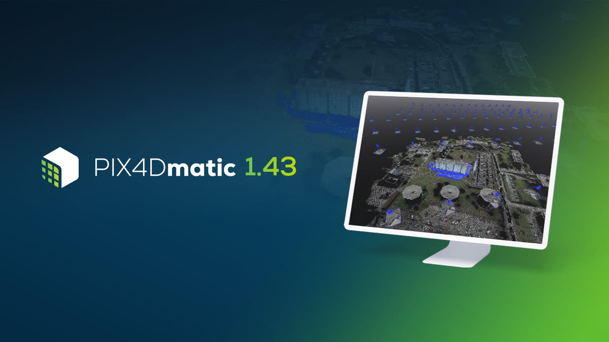
PIX4Dmatic 1.43: project merging and indoor workflows!
PIX4Dmatic, the next generation photogrammetry software for professional drone and terrestrial mapping, has an exciting new release with which you can now merge multiple projects together as well as unlock indoor projects with additional relevant features. Last but not least, we have added new languages to PIX4Dmatic - you can now work in German and traditional Chinese! Read about all of the highlights of the new release and do not miss any of the improvements!
Merge multiple projects!
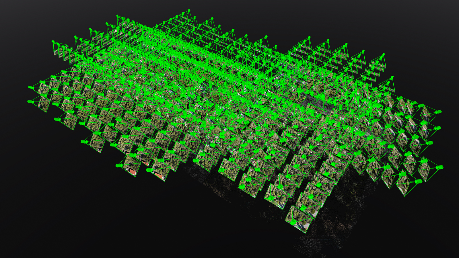
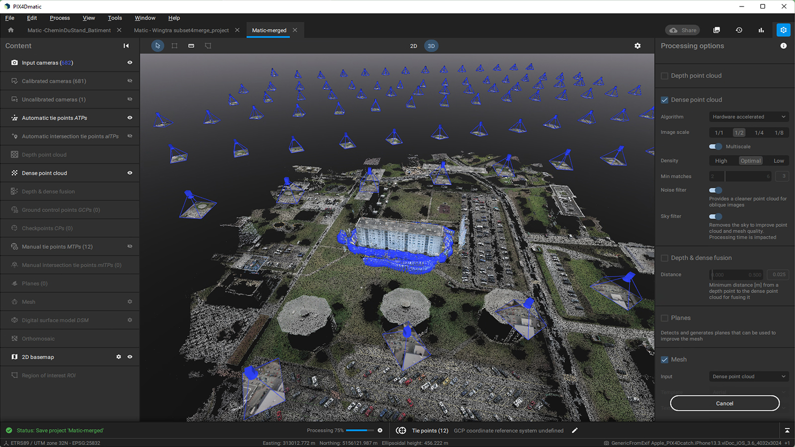
Some 3D reconstruction projects require more than one dataset to capture the entire target area. With PIX4Dmatic you can now merge multiple geolocated projects together and expand your projects and use cases! Whether you are complementing aerial drone mapping data with terrestrial PIX4Dcatch and viDoc datasets, documenting a project’s evolution, or even reconstructing a collision scene in 3D, you can combine multiple datasets within one master project. Calibrate every dataset separately with the best processing settings and merge them together with a simple and easy workflow. With this PIX4Dmatic release, you can generate a single point cloud, mesh, DSM, or orthomosaic with all of the critical data and without any loss of accuracy or detail.
PIX4Dmatic moves indoors!
Photogrammetry is a great tool to reconstruct indoor environments and we are very excited to announce that PIX4Dmatic is expanding its capabilities into indoor reconstructions.
The new release brings plane creation for improved meshes of indoor projects that produce cleaner, sharper results for surfaces. Automatically generated planes can be also edited or deleted or alternatively, you can create planes manually. As the navigation in indoor projects can be difficult, planes in PIX4Dmatic have a back-face culling option in the 3D viewer that allows the user to see through the mesh and the dense point cloud.
Another addition to the photogrammetric process that drastically improves results in indoor scene reconstructions is the Intersection Tie Points (ITPs) for better calibration. Tie Points are used for assessing and improving reconstruction accuracy in photogrammetry during the calibration step. Intersection Tie Points (ITPs) serve the same purpose but for intersecting linear features that generate a tie point. There are two types of ITPs: the automatically identified Intersection Tie Points (aITPs), which recognize linear entities within overlapping images, and the manually identified Intersection Tie Points (mITPs), which spot intersection points that can be edited or deleted. The Intersection Tie Points is a valuable tool for mapping indoor and outdoor objects that have linear elements. With this tool, you can create sharp and clean intersections which can further improve the calibration by taking the geometry of a project into account. Interior design and renovation works, digital twins of industrial buildings, and cultural heritage projects are a few examples of indoor mapping assignments.
And finally, we have added a new calibration template. By choosing the "interior scene" template you make sure that you apply the optimized settings to the calibration according to the needs of the project.
And there is more!
Together with all of these updates and improvements that make mapping easier, PIX4Dmatic is expanding the list of supported camera models to include:
Discover the new functionalities and workflows of PIX4Dmatic for yourself by downloading the latest version now! Visit our Pix4D Support site to learn more through extensive documentation and use our video tutorials and online workshops where our trainers can teach you how to get the most out of PIX4Dmatic. Last but not least, if you are a PIX4Dmapper perpetual or yearly license holder make sure to check our incredible Geospatial Offer for a discount of up to 70% on the PIX4Dmatic and PIX4Dsurvey bundle!