Make the most out of annotations on Pix4Dmapper Cloud
Pix4Dmapper Cloud allows you to convey more valuable information with your annotations. Export them to speed up your reporting process or to facilitate your map visualization workflows.
1) Communicate more with annotations
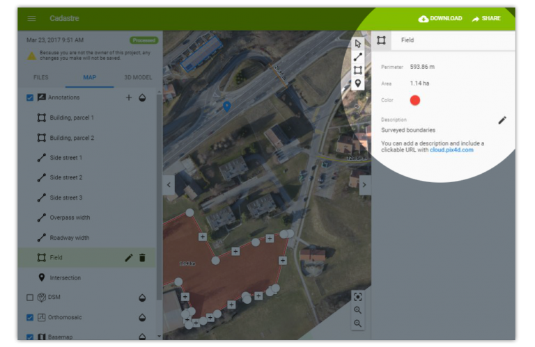
Assign different colors to your annotations and add a description with additional information and include a clickable URL linking your findings to a report, a collaborative document or other online resources.
2) Transform annotations into data
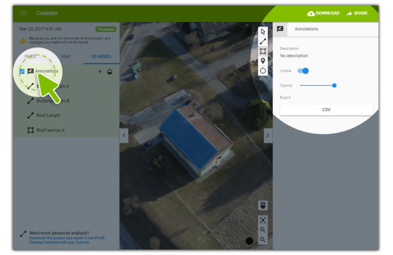
Add annotations and perform measurements in the 2D and 3D views and export them as a .csv file that you can use to generate quotations or add details to your inspections.
When sharing your annotated project, the other user also can export the annotations.
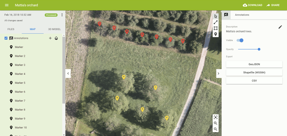
3) Put your annotations on the map!
Use the 2D map view to draw annotations, add descriptions and export them as a Shapefile or a GeoJSON. Import them into your favorite GIS software (QGIS, ArcGIS, Global Mapper, etc.) or into an online mapping platform without losing any information.