
The challenges of surveying large areas
Explore the challenges of capturing and processing large datasets and how to optimize your workflows
Going beyond limits
Meet Pix4Dsurvey 1.10:
A new era for vectorization
The latest Pix4Dsurvey release brings a plethora of updated and new functionalities, meant to support you in your surveying workflows.
Survey more >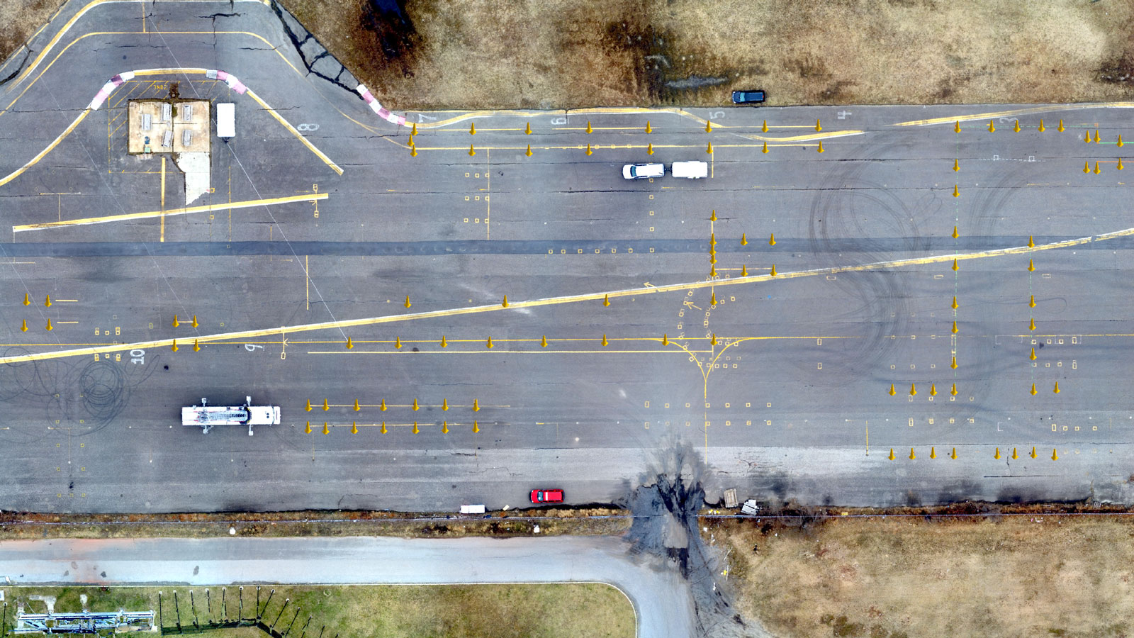
No planes? No problem. Surveying an old airfield
Learn how Pix4Dsurvey helped the Atlantic City Office of Emergency Management survey the entire site of Bader Field and provide actionable information.
Read more >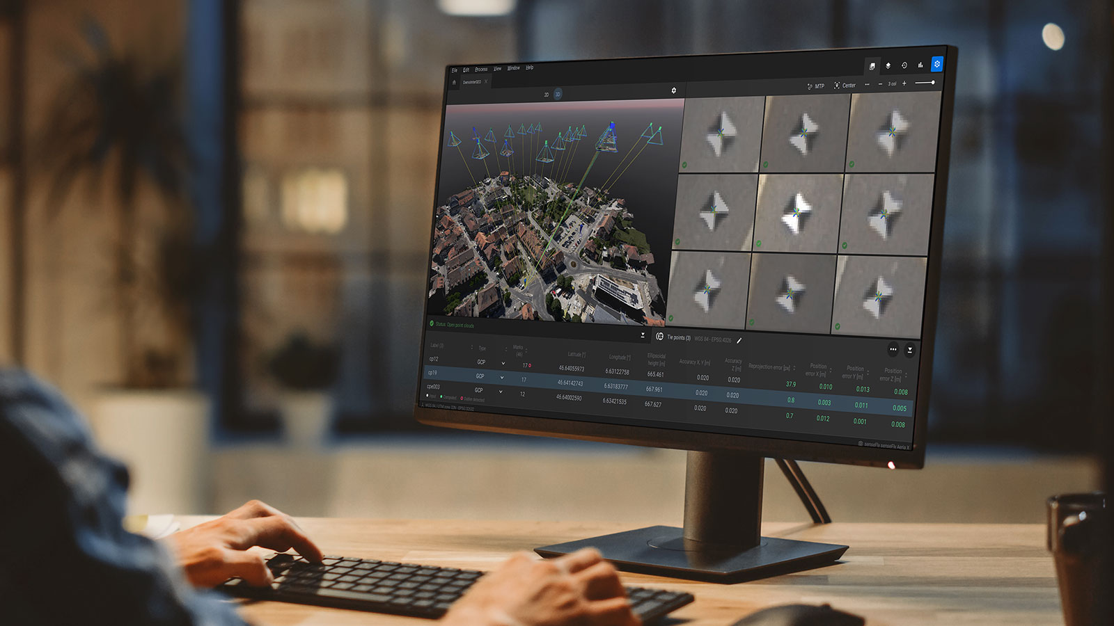
Discover Pix4Dmatic 1.11:
Improve your workflows
The latest Pix4Dmatic release brings an excess number of new functionalities, meant to improve your large project mapping.
Map more >
Surpass any challenge
Unlock the potential of drone mapping with Pix4D software