
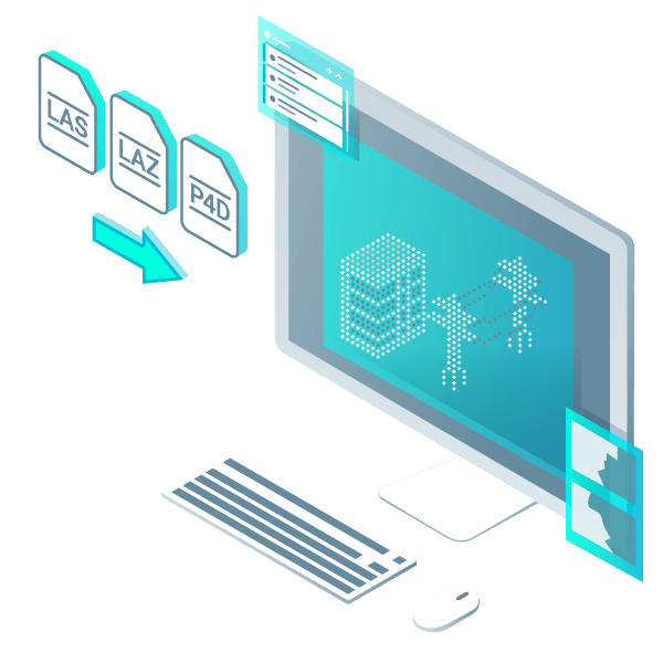
Erfassen
Erfassen Sie Bilder oder Punktwolken mithilfe von Drohnen oder Laserscannern.


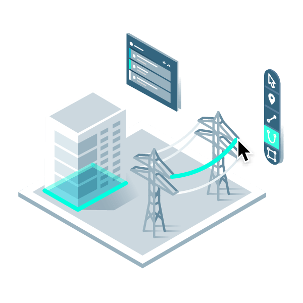


Automatisieren Sie die Erstellung von Punkthöhen und ermöglichen Sie eine drastische Reduzierung der Anzahl von Punktewolken-Punkten. Verwenden Sie dieses Punktraster mit einem Klick, um den Boden mit einem TIN zu modellieren.
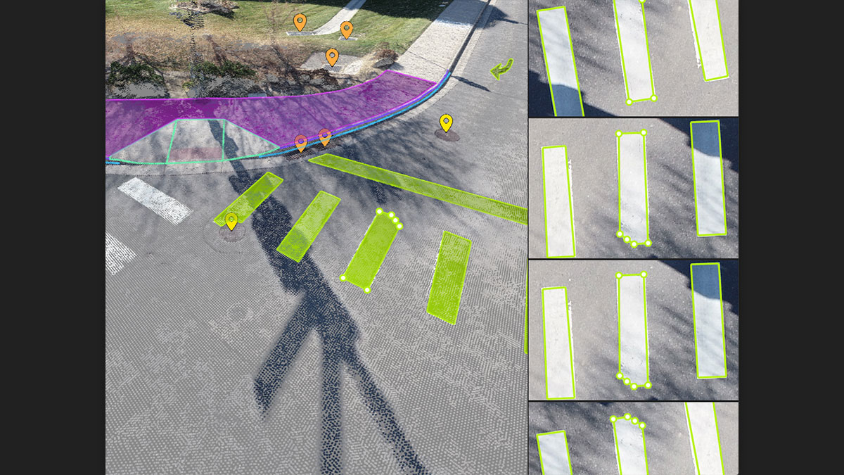
Extrahieren Sie mit Smart Grid die gleichen Punkte, die Sie auch im Feld verwenden würden - es werden keine Daten erstellt, sondern die Geländeklasse wird nach Orten der Höhenänderung ausgelesen, genau wie Ihr Gelände-Team punktuelle Erhebungen entlang von Bruchkanten vornehmen würde.
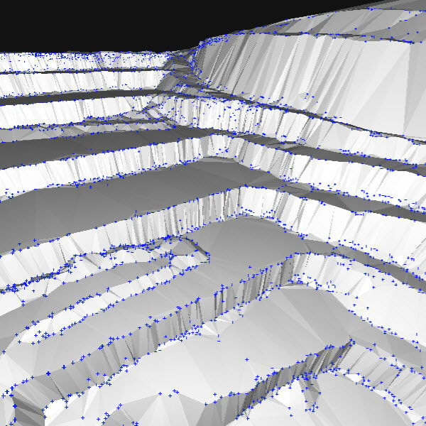
Der nächste Schritt? Nehmen Sie diesen Datensatz von Punkten und Bruchkanten und erstellen Sie ein DGM im LandXML-Format, das genau die Punkte widerspiegelt, die Sie vorgegeben haben. Jetzt sind Sie bereit für Ihr CAD oder GIS!
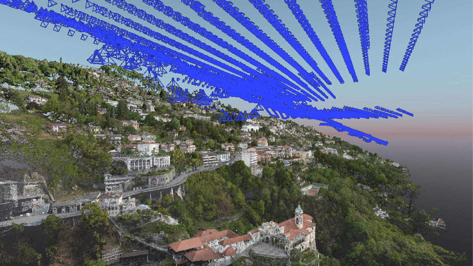
Zur Aktualisierung der Kataster der Grundstücke und Grundstücksgrenzen hat dieses Team die Drohnenkartierung mit PIX4Dmatic und PIX4Dsurvey eingesetzt.
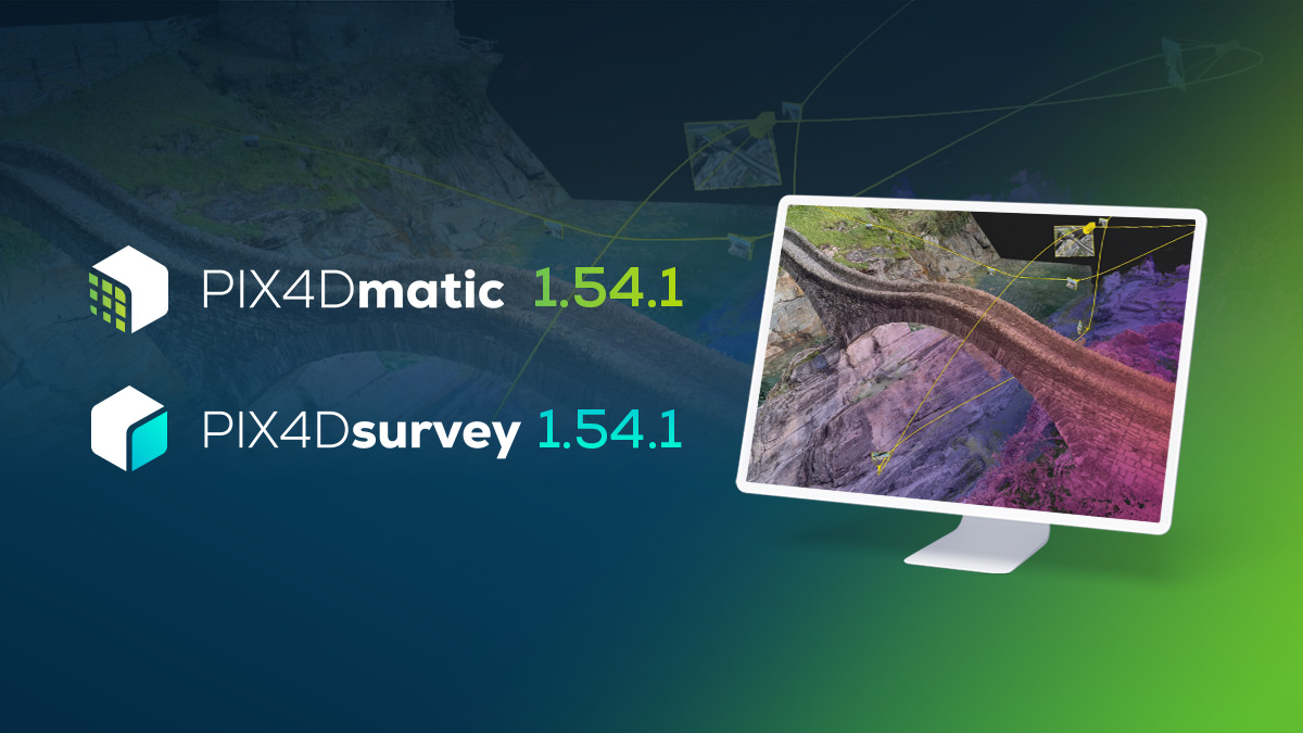
PIX4Dmatic & PIX4Dsurvey 1.54.1 stellen Videos & Ansichten, das Objektauswahlwerkzeug, den detaillierten Qualitätsbericht und vieles mehr vor.
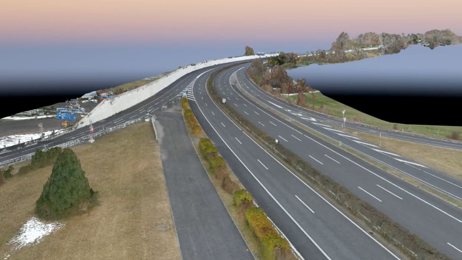
Eine Autobahn in der Schweiz musste inspiziert werden - aber sie befand sich auf einem Viadukt in den Bergen. Entdecken Sie, wie Drohnenkarten aus der Luft geholfen haben.