

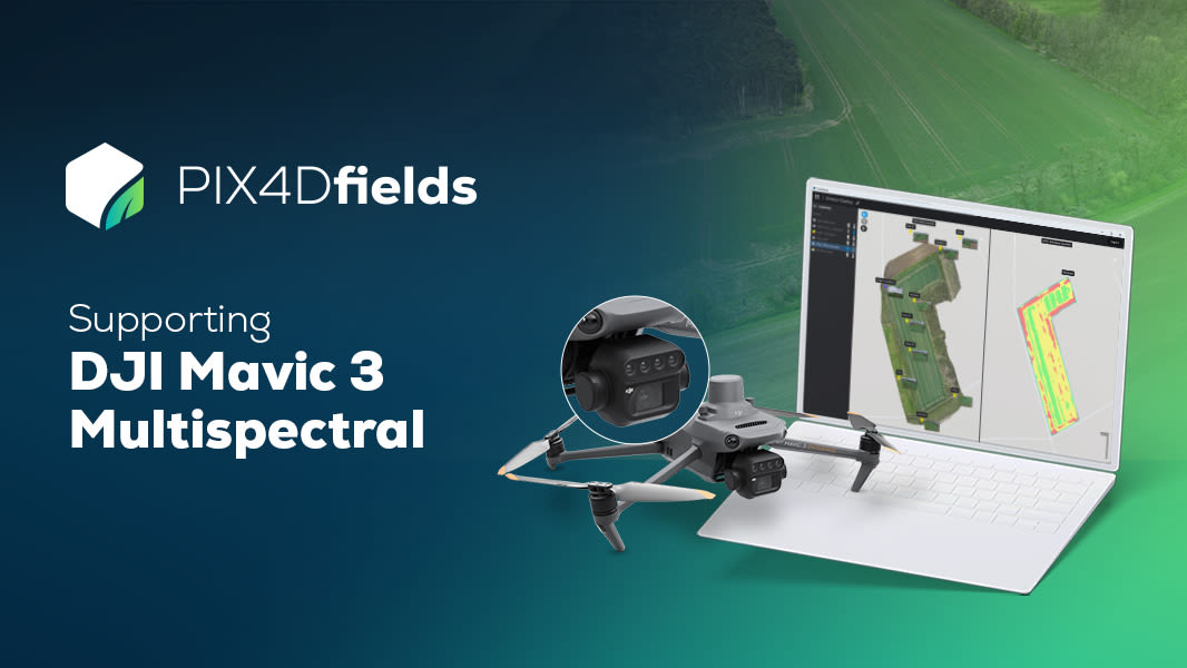
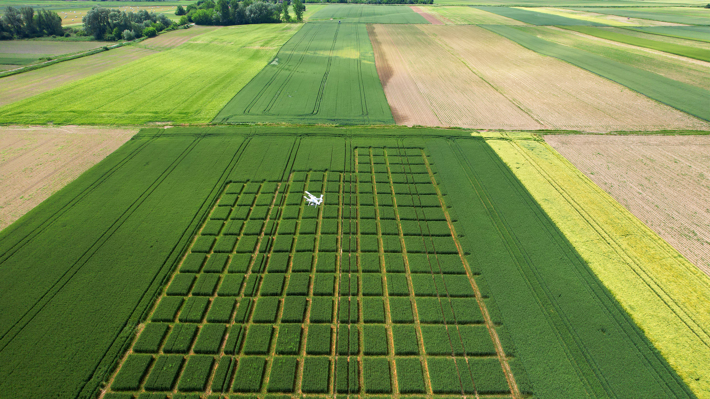
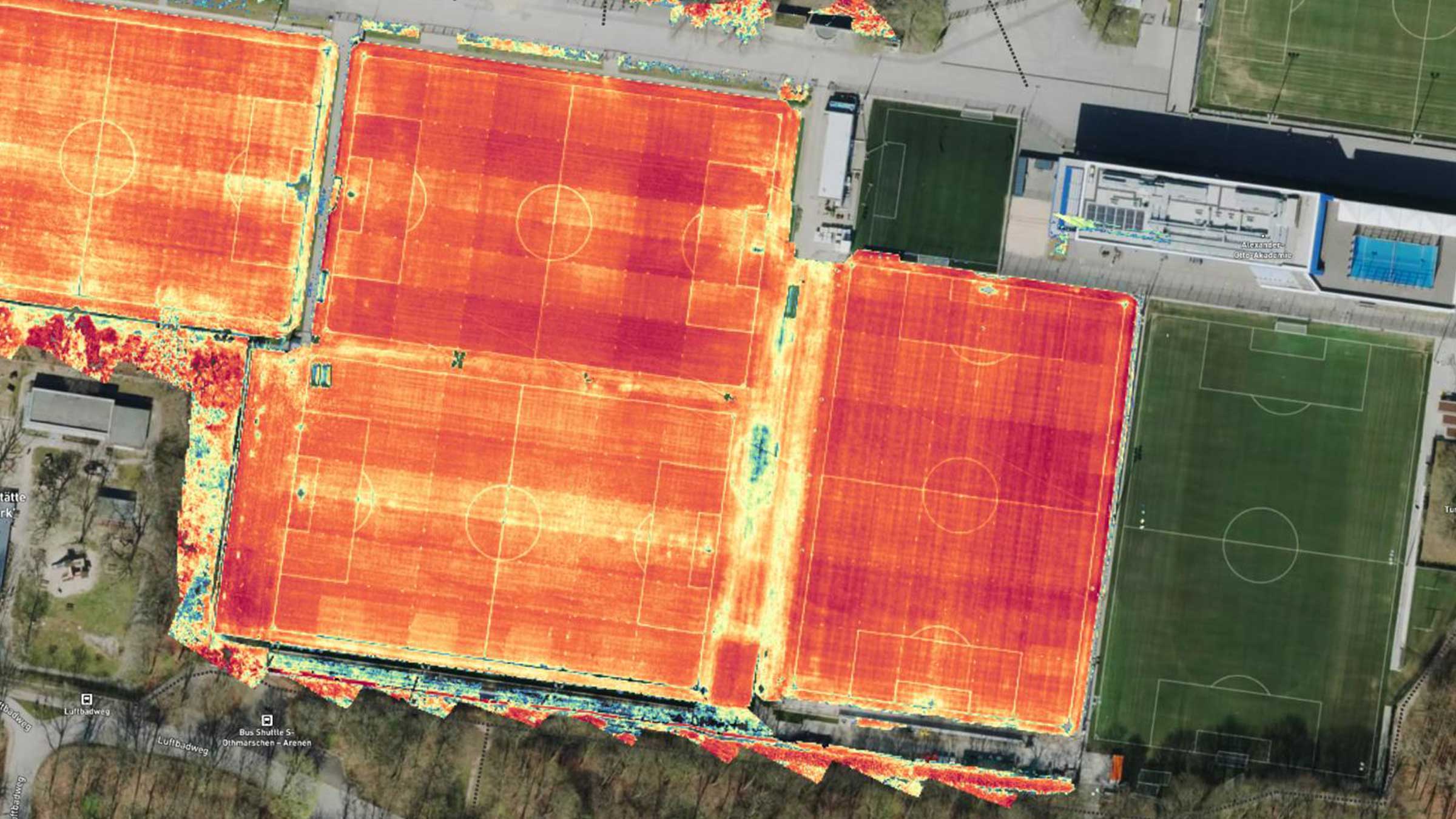
[DJI Mavic 3 Multispectral dataset]
Seeing beyond the surface with the DJI Mavic 3 Multispectral and PIX4Dfields
Try a DJI Mavic 3 Multispectral demo dataset yourself! Process it with PIX4Dfields and let the magic happen. Start saving time, money, and resources in your agriculture workflows today!
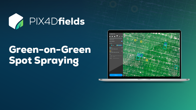
Green-on-Green Spot Spraying dataset
Helping Farmers Worldwide Save Money
Try a Green-on-Green demo dataset yourself! Process it with PIX4Dfields and see how you can instantly spot all weeds on the field with the Magic Tool and create a ready-to-use prescription map for a targeted herbicide application!
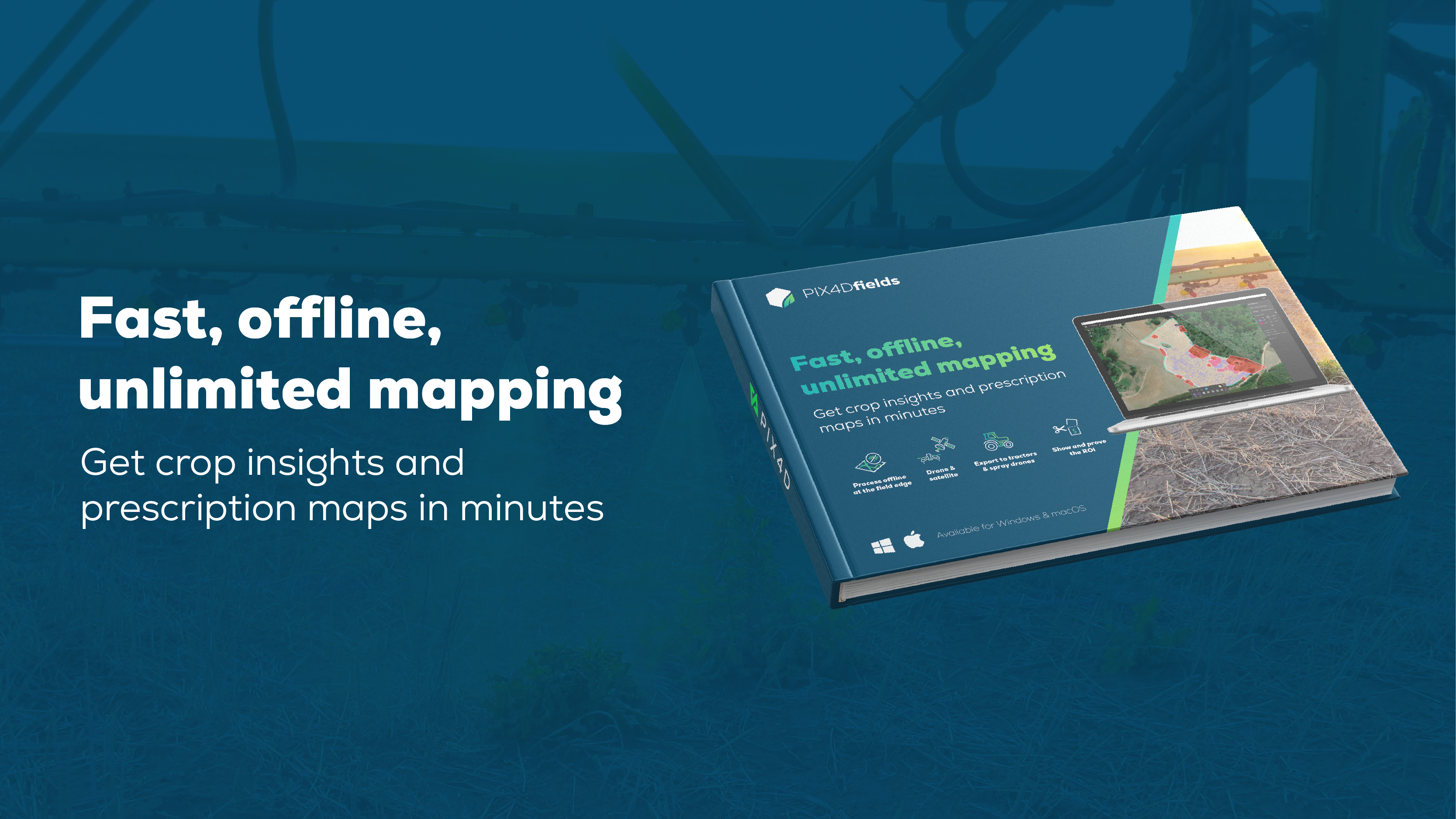
Fast, offline, unlimited mapping
Get crop insights and prescription maps in minutes
Discover how PIX4Dfields elevates precision agriculture by turning images (drone and satellite) into prescriptions and insights in minutes. Built for speed, it allows for fully offline, on-device processing at the field edge.
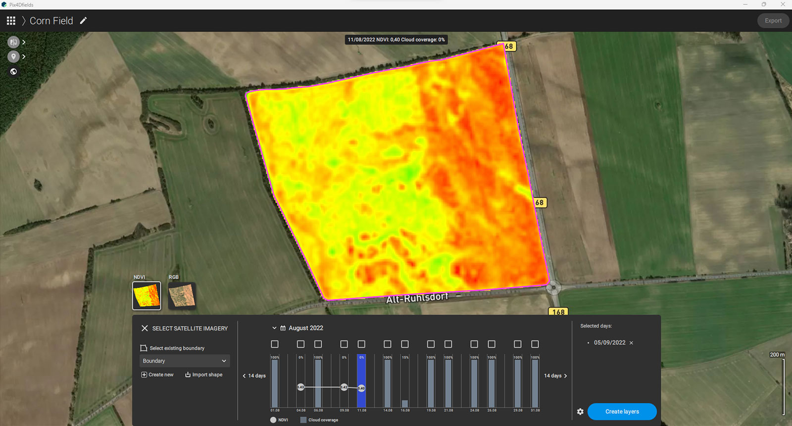
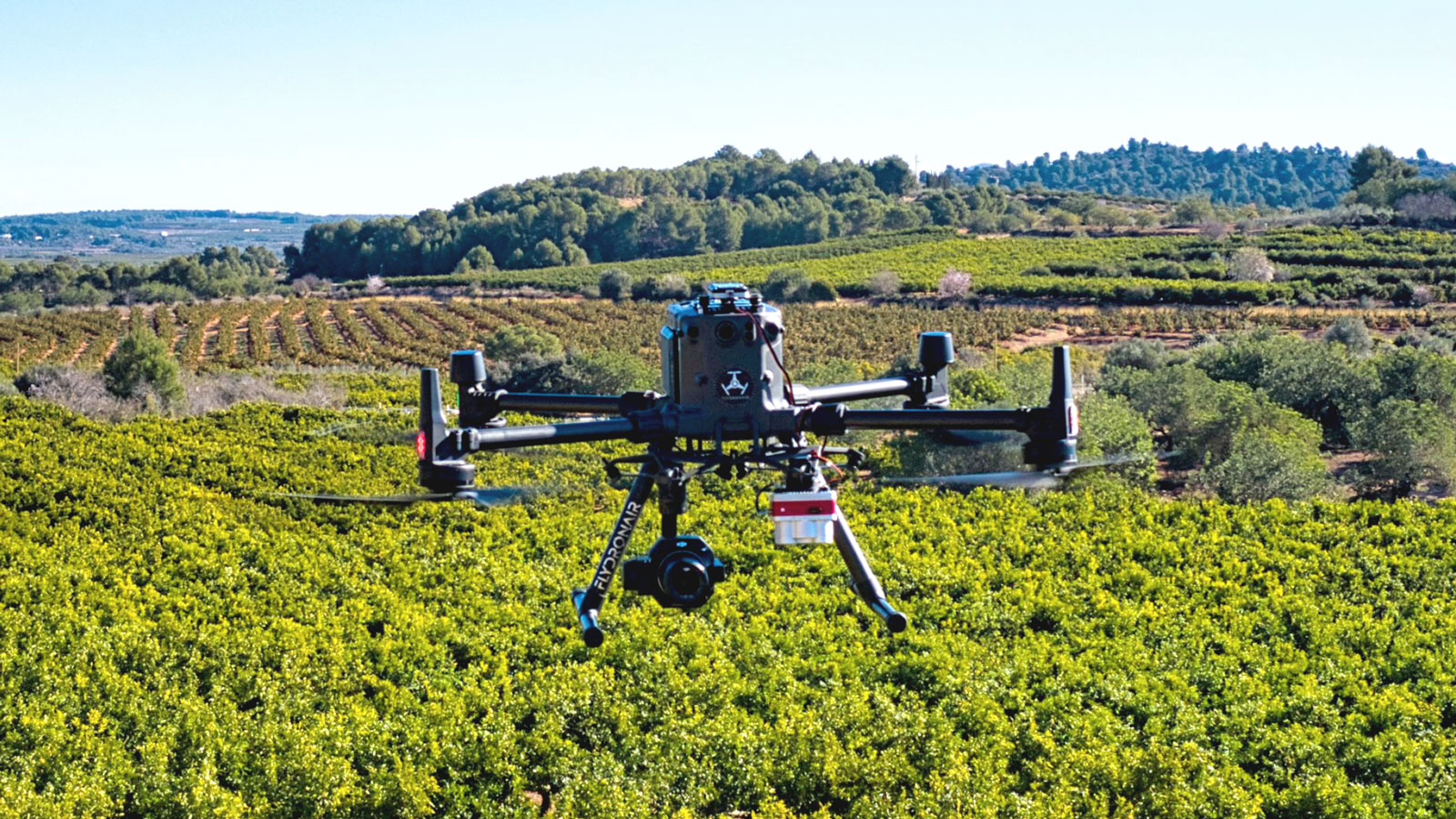
Watch your crop from wherever you are using a drone or satellite!
Hybrid drone and satellite mapping software solution for agriculture
Learn more >Any crop at any stage!

Do you have any questions?
Please don't hesitate to contact us we will be glad to assist you in any of your inquiries.