
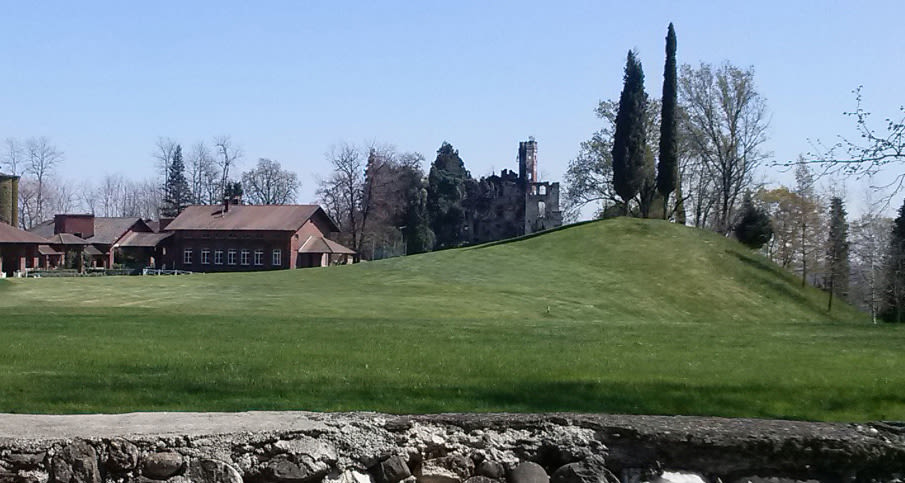
Study of a new 9-hole track on Rondissone golf course
These outputs help with the simulation and analysis of flooding problems in the case of heavy rain.
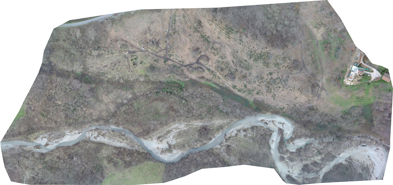
The aim of this project was to map the golf course in a short amount of time, at very low cost, and in high resolution. The surveying method of using a UAV provided the best suitable solution to our goal and mapped every corner of the field in detail.
| Company | Flight Mapper |
| Country | Italy |
| Industry | Environmental Monitoring |
| Project date | December 2014 and April 2015 |
| Project members | Luca Cavagnero |
| Project size | 14 and 21 hectares |
| Number of images | 254 and 205 |
| GSD | 2.6 cm and 4.3 cm |
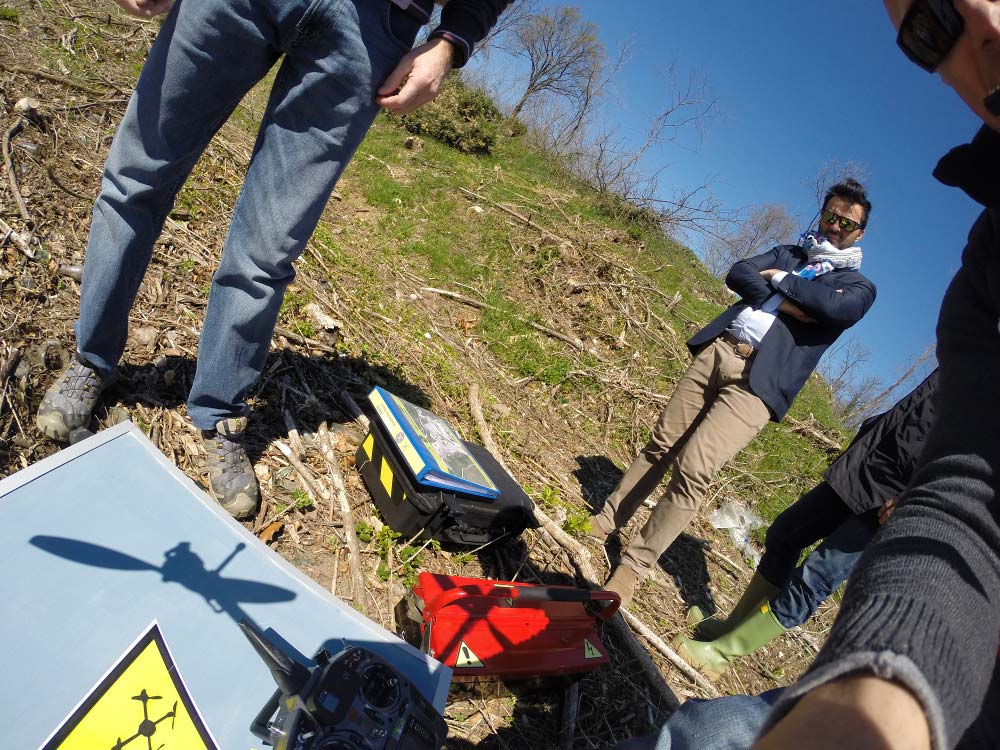
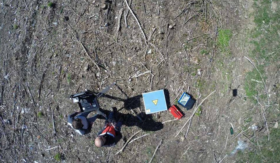
There were several problems encountered in this project. First, the team had to crop the vegetation because the area was very densely forested. The biggest problem was to get the permission to fly over this land, conceded by (LILE) Tower Control.
All project images were taken with a GoPro HERO3+BlackEdition fisheye camera, covering two areas of the golf course. The first data set was acquired on December 13, 2014 and the second one on April 07, 2015. Both data sets were obtained with just a single flight.
Around two to three hundred images were acquired for each flight, all with a resolution higher than 5 centimeters. GCPs were measured by Leica Viva GPS in kinematic mode; 8 was used for the first area and 5 was used for the second.
"Quite amazing"
The team used the 3D point cloud and the Mesh results generated from Pix4Dmapper to gain the detail information of the ground orography from the survey area. The results were with very high resolution and were quite amazing. The 3D models exported were compatible and thus utilized in other software, such as MeshLab, Global Mapper, and Autodesk AutoCAD, etc.
The densified point cloud generated was trimmed and modifiped to create a precise 3D mesh and a DSM. The 3D model generated assists the simulation and analysis of flooding problems in case of heavy rain. This pre-analysis can minimize damages on the grass and provide first-person view simulation of the landscape, which is extremely helpful for the architects.
The automatic workflow of processing images acquired from UAVs provides a cost and time-efficient solution for the golf course track study. The achieved result is of high resolution and accuracy, which enables the precise analysis of the golf course and especially the landscape around the track path.


