
Soybean Fertilizer Trial: Biomass Monitoring
The aim of the project was to use the Aeryon Scout drone to monitor biomass to determine the effectiveness of three fertilizer treatments on a soybean field at Leisure Farms in Sturgeon Falls Ontario Canada.
The farmer wanted to determine if Green Boost organic fertilizer would improve soybean yield, relative to the recommended commercial fertilizer rates.
| Institute | Nipissing University |
| Country | Canada |
| Industry | Agriculture |
| Project date | July 2013 |
| Project members | John Kovacs, Dan Walters |
| Project size | 15 Acres |
| Number of images | 117 |
| GSD | 3.8 cm |
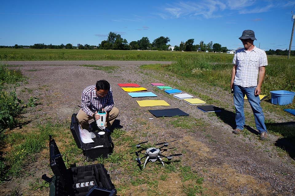
We flew the soybean field 42 days after planting to monitor biomass using the Aeryon Scout equipped with the Tetracam ADC Micro camera.
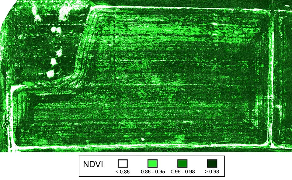
The NDVI map produced using Pix4Dmapper revealed that both the recommended fertilizer application rate (330 lbs/ac) and the organic with half the recommended commercial (1 gallon/acre plus 165 lbs/ac) fertilizer rate outperformed the organic only rate (1 gallon/ac).
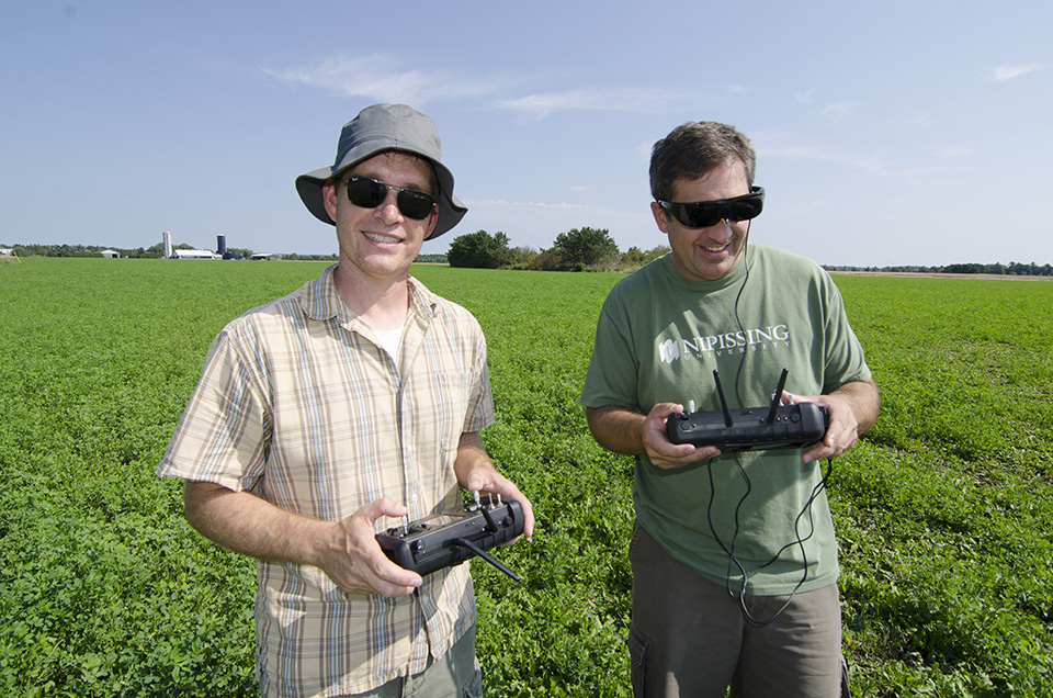
Flying the field
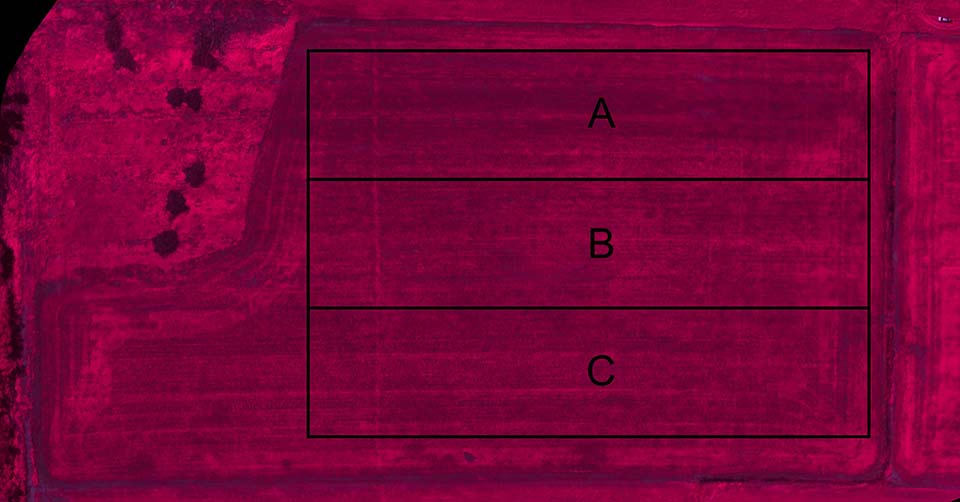
An Aeryon Scout was used to fly at 120 meters above the area, with images taken from a Tetracam ADC-lite NIR Micro camera. The 3.2 megapixel cameras captured the visible wavelengths longer than 520 nm and the near-infrared wavelengths up to 920 nm. The entire area was covered in ten minute flight time, split into three treatment areas:
- A – 1 gallon/acre liquid organic fertilizer
- B – 1 gallon/acre liquid organic with 165 lbs/acre chemical fertilizer (3-14-45)
- C – 330 lbs/acre chemical fertilizer (3-14-45)
Clear results
The NDVI maps of biomass, produced by Pix4Dmapper, revealed that the recommended commercial fertilizer application performed better than the organic alone, and better than the mixture of organic plus half the recommended commercial fertilizer applications.
Yield at harvest for the three separate treatments were:
- A – 0.7 tons/acre (organic fertilizer)
- B – 0.92 tons/acre (organic and commercial fertilizer)
- C – 1.2 tons/acre (commercial fertilizer)
Why use drone mapping in agriculture?
Mapping with a UAV and Pix4Dmapper gives us the ability to capture imagery at key growth stages, mosaic images quickly, and generate NDVI maps within a day, which is a significant improvement in our workflow. This benefits the farmer as well as the researcher. We have more control over the date and timing of acquisition. Compared to other UAV image processing software, Pix4Dmapper reveals significantly less distortion. It is also a very intuitive and user-friendly interface.


