When high value crops meet inaccessible areas
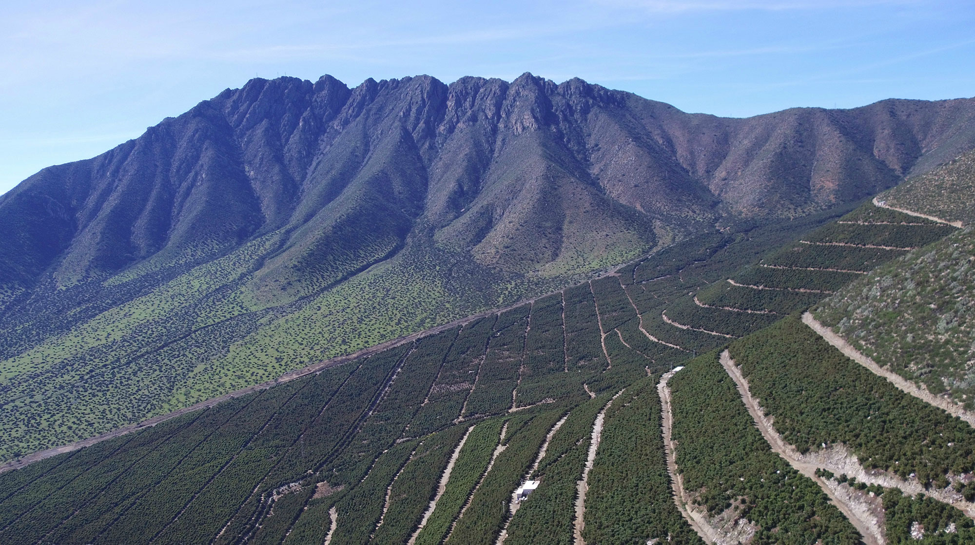
Orchard management on hillsides
In Chile, there are two types of orchards: level areas and hillside plantings.
Avocados are one of the few crops in Chile that can be economically and commercially cultivated on hills. Hillsides are great for avocados because they don’t contain pests or diseases that require frequent control measures. Additionally, hillside plantings have less risk of freezing temperatures, and with the advancement of irrigation systems - it is possible to incorporate low productivity lands into commercial horticulture.
On the other hand, maintenance and harvesting costs tend to be higher on hillsides. If we add the size of the avocado orchards to the equation and the time spent on the ground inspecting every plant, we are presented with a question: Can avocado orchard management on hillsides be more feasible using new technologies?
The power of drones and multispectral imagery for inaccessible crops
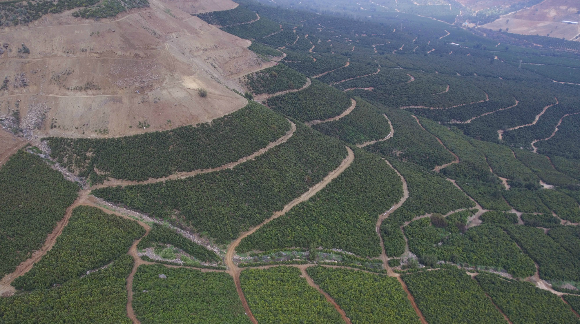
Managing over 1.000 hectares of steep hill avocados usually doesn’t allow for a consistent on-ground plant scouting. In that situation, having aerial and multispectral images becomes an important advantage. Big companies need as much information as fast as possible in order to keep crops in good condition, reduce the production problems to a minimum, and maintain profits.
Pix4D has proven to be an essential part of the project, making the workflow fluid and consistent - an important factor when delivering timely and accurate results to the client.
"Pix4D software is a powerful tool that has become an essential and important asset in what we can offer to our clients. Every day, we learn more tricks to make the workflow even better and consistent."
Franco Santoro, Agriculture Engineer, Krops
Avocado maintenance project
Krops, a drone services company from Santiago developed an avocado maintenance project with one of their clients. Prior to the project start, they had to account for the phenological stages of avocados. Based on those periods of the year, they decided on months to fly. The mapping started in August 2017, the second iteration was mid-October 2017, and the final one was in March 2018.
The project had its challenges:
- Short flight period: the flight had to cover over 1100 hectares, divided into four farms between 200-380 hectares each. This division was important in order to have comparable images for the software.
- The landscape: the flights had to follow the level curves in order to maintain a similar altitude between higher and lower points of the field.
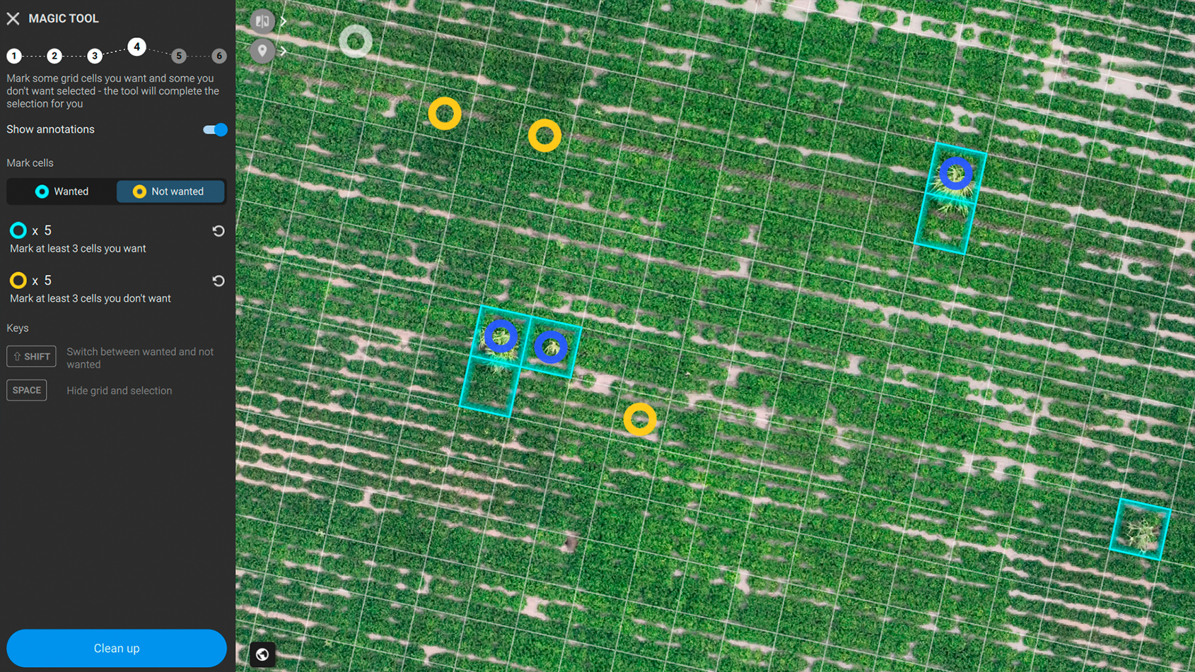
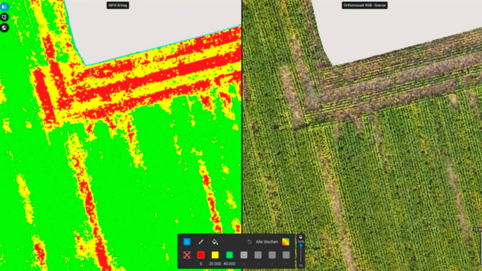
- Data processing: Multispectral data is very valuable, but it needs proper processing.
The flight plan included flying at 130m height with a resolution of 8-10 cm/pixel using DJI Matrice 100. For data acquisition, they used MicaSense RedEdge camera that captures 5 multispectral bands (R, G, B, NIR, and red edge).
Perfect maps every time
Pix4D’s reliability was a lifesaver, as it enabled Krops to fully embrace drone mapping into their farm operations.
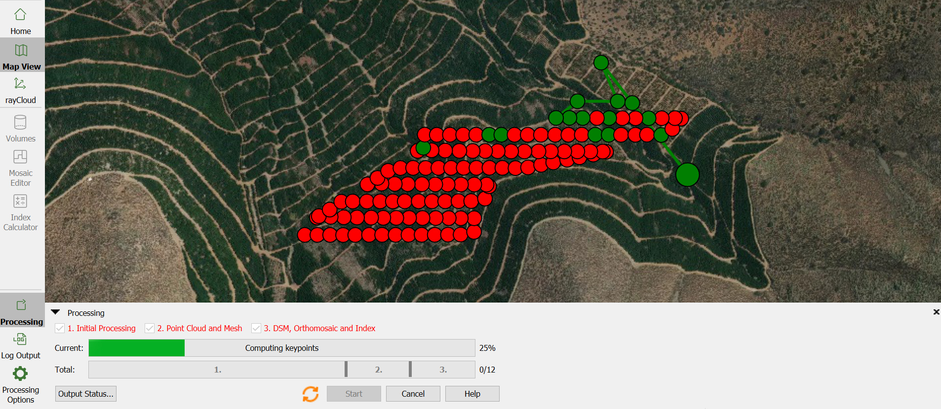
Processing of the vast amount of daily collected data was a challenge number one of this project. In order to optimize the workflow, Krops installed a desktop unit running Pix4Dmapper. The idea was to process all the flight data taken that day, during the evening of the same day. As soon as one farm would finish processing, they merged the individual projects into bigger ones that represented between 90-100 hectares.
This workflow ensured the reduction of the result delivery time. In August 2017 the delivery time was two weeks and in October 2017 it was five days. For March 2018, Krops expect it will take 2-3 days for result delivery. Having the timely results was especially important for the client to compare the results after each flight.
The achieved results have helped Krops’ client by making decisions such as:
- Pruning trees that are low on vigor.
- Redesigning fertilizer strategies based on variable rate mapping.
The room for additional analysis is there. Krops’ client is eager to compare the results upon the (final) flight completion in March.
| Special thank you to Krops for sharing this story with us. |