Pix4Dreact: fast-mapping for emergency response
Today we are proud to announce the launch of Pix4Dreact, a 2D drone-based fast-mapping software tailored to the needs of the emergency response sector.
Year on year, an increasing number of natural disasters, man-made conflicts and other crises are affecting populations. The security threats for population centres, infrastructure, assets, and organized events are growing in volume and complexity.
Rapid and reliable
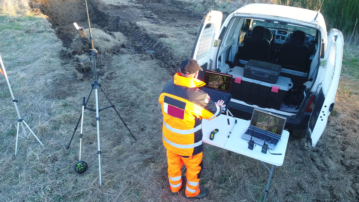
Taking time to deploy and expensive to operate, aircraft and helicopters may not always be readily available or equipped to capture images. Drones are already used in search and rescue to provide powerful visual information that reduces response time and increases safety, but many lack fast-mapping capacity. Teams on the ground, whether from the public safety or humanitarian aid sector, have the need for quick and reliable aerial insights to plan and deliver successful operations in remote, complex and often unsafe environments.
In response to this need, Pix4D has developed Pix4Dreact to be the optimal 2D fast-mapping desktop software for public safety, emergency management, humanitarian aid and disaster response organizations. Extremely fast and highly intuitive, its key purpose is to help improve situational awareness and effective response in the field when the unexpected occurs: natural disasters, fires, human displacement, missing persons, critical incidents and much more.
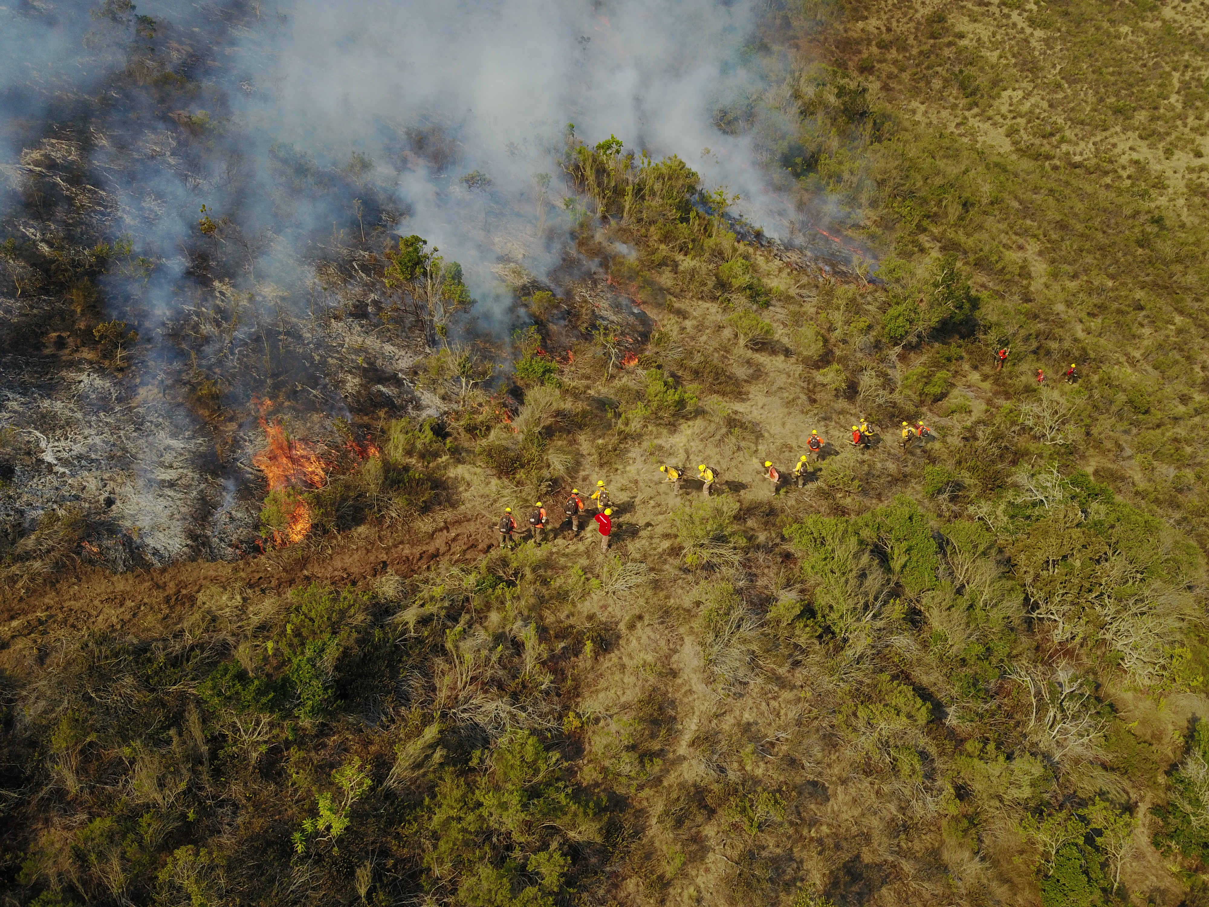
Use case: Fast-mapping a disaster
In the aftermath of Hurricane Dorian, communities are relying on people, supplies and technology to help with the recovery and rebuild.
“We’re sharing the information with NGOs who are disseminating the data with whichever government is requesting it to allow them to access almost real-time information about the situation on the ground.”
> Read full use casePix4D professional customers regularly expressed the need to transform images into maps more quickly in urgent situations. In response, the company has actively cooperated with multiple partners to develop Pix4Dreact.
“The speed and quality of the data, the broad reporting, and annotation tools will make this a staple in any investigator’s toolkit,” commented Jennifer Pidgen, COO of Sundance Media Group (United States), “Pix4Dreact will likely become the multipurpose standard 2D fast-mapping and scene documentation application for municipalities, states, and federal organizations.”
“I have used Pix4Dreact with a large number of images from the field and I have been impressed by how simple and fast it is. This software can be of great value to the humanitarian aid community in need of a simple yet powerful mapping solution that can work everywhere, especially where internet is not available,” adds Joseph Mulhausen, WeRobotics’s Head of Drone Data (Switzerland).
When time is of the essence
“Our vision is for Pix4Dreact to become the go-to tool when time is of the essence and internet connectivity is not available,” says Timothy Chapuis, Business Development Manager at Pix4D. With a software interface that has key features to enable teams to easily process, compare, annotate and export maps, “our objective is to provide emergency responders on the ground with access to critical information needed to take quick action to protect and save lives,” adds Chapuis.
From today, Pix4Dreact is available for purchase on
Pix4D.com, or through Pix4D Resellers. To inquire about specific needs or other licensing options for public safety, disaster response and humanitarian aid non-profit organizations, contact the Pix4D sales team.