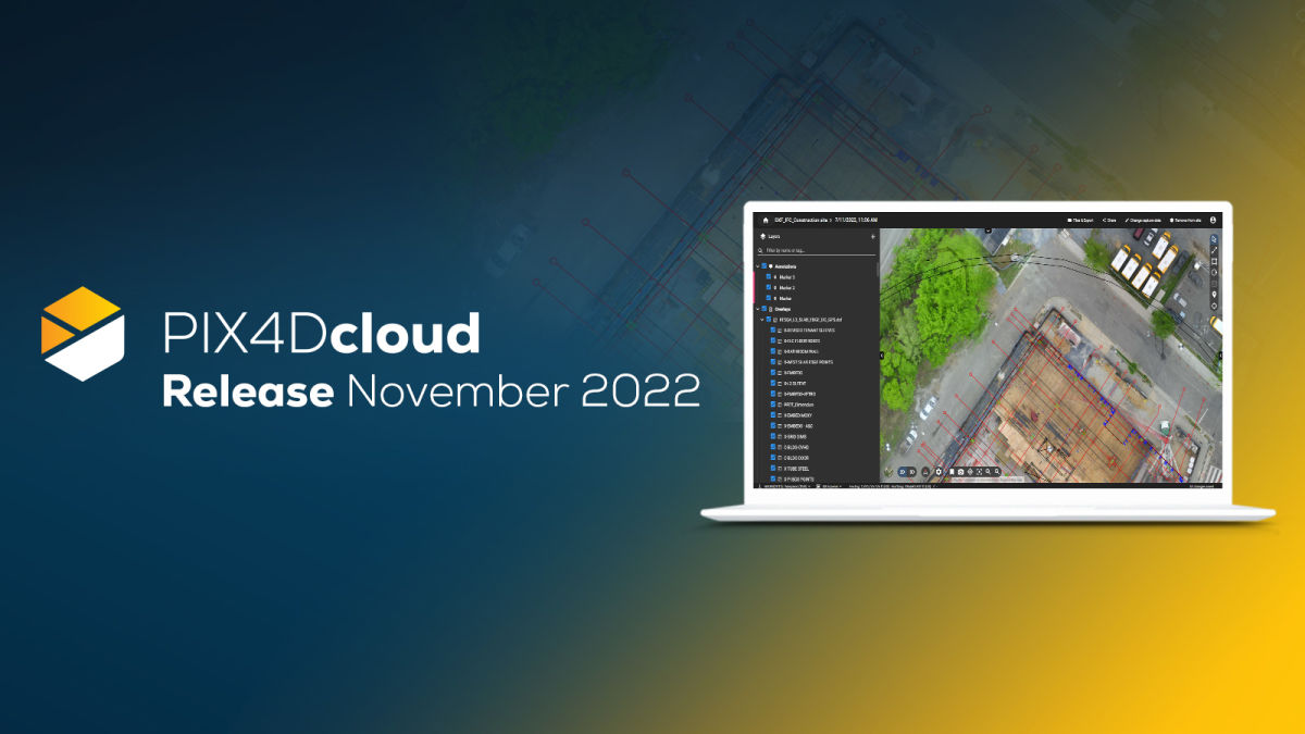
PIX4Dcloud release: November 2022
##DXF files are now supported on PIX4Dcloud Advanced
The Overlay tool on PIX4Dcloud Advanced just got better! Now you can import and overlay your DXF files into the orthomosaic to compare as-built with the as-designed. Import the file, select the layers you want to see, and easily check site progress. There is no need to align it as PIX4Dcloud will read the coordinates automatically.
Please read our technical support documentation to get more information about the Overlay tool.
TIP: You can import contour lines (in .dxf and .pdf) as an overlay and have them visualized in 2D view.
Import files directly from PIX4Dmatic and PIX4Dsurvey with a click of a button
To offer you a straightforward workflow, we have worked to improve the synergy between our Pix4D products. Upload your files from our desktop products PIX4Dmatic or PIX4Dsurvey to PIX4Dcloud and share them easily with colleagues and clients all over the world. They can view the shared files without a Pix4D license.
PIX4Dmatic integration
You can now upload outputs (orthomosaic, DSM, 3D point cloud, 3D textured mesh), directly from PIX4Dmatic to PIX4Dcloud and PIX4Dcloud Advanced.
To upload files and annotations, from the PIX4Dmatic interface, go on the top left menu and under “File” select “Share to PIX4Dcloud”, chose the needed outputs, and press “Upload”.
More information about this integration can be found in our technical support documentation.
PIX4Dsurvey integration
Upload 3D point clouds and vector data directly from PIX4Dsurvey to PIX4Dcloud and PIX4Dcloud Advanced. To do so, go to the top left menu of the software and select “File” > “Share to PIX4Dcloud”. Choose the files you want to upload to PIX4Dcloud and click “Upload”.
Read our technical documentation to find out more about this integration.
PIX4Dcloud and PIX4Dcloud Advanced are in German
To improve your experience, we have added German as a new language, available on the PIX4Dcloud platform. To change the language, click the user icon on the top right, select "Languages", and choose Deutsch from the dropdown.
What’s coming
Subscribe to our newsletter to not miss out.