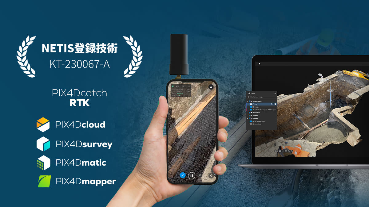
Pix4D products officially registered in Japan's NETIS system
We are pleased to announce that Pix4D’s terrestrial photogrammetry solutions have been registered as the "Pix4D suite” in the New Technology Information System (NETIS).
- Technology name: 3D measurement solution "Pix4D suite" by mobile terminal
- NETIS registration number (already registered): KT-230067-A
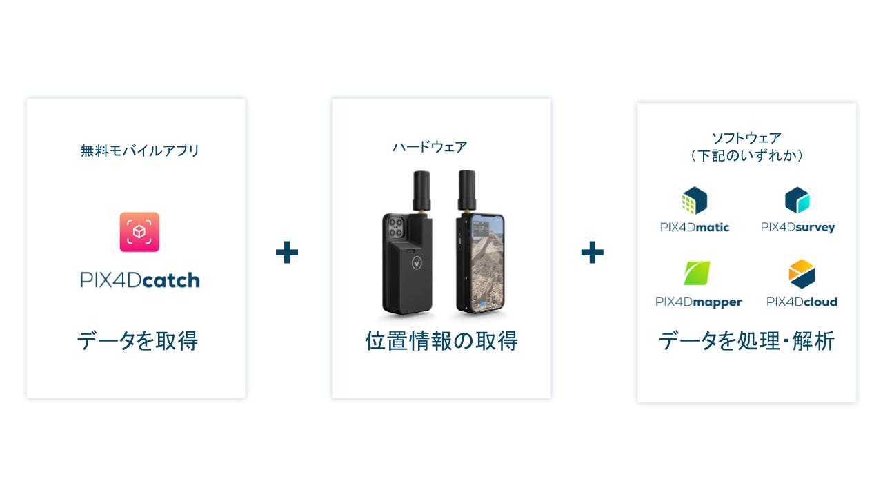
- Products included in the "Pix4D suite": PIX4Dcatch, viDoc RTK rover, PIX4Dmatic, PIX4Dsurvey, PIX4Dcloud, and PIX4Dmapper
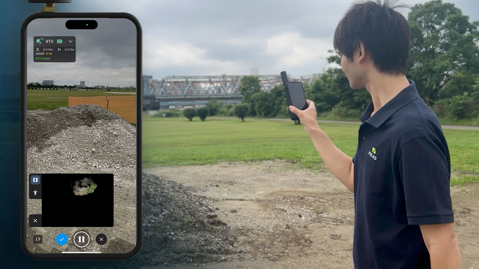
The Pix4D suite is a product group offered by Pix4D. It encompasses a range of terrestrial photogrammetry workflows, which involve data acquisition, data processing, and measurements on 3D models
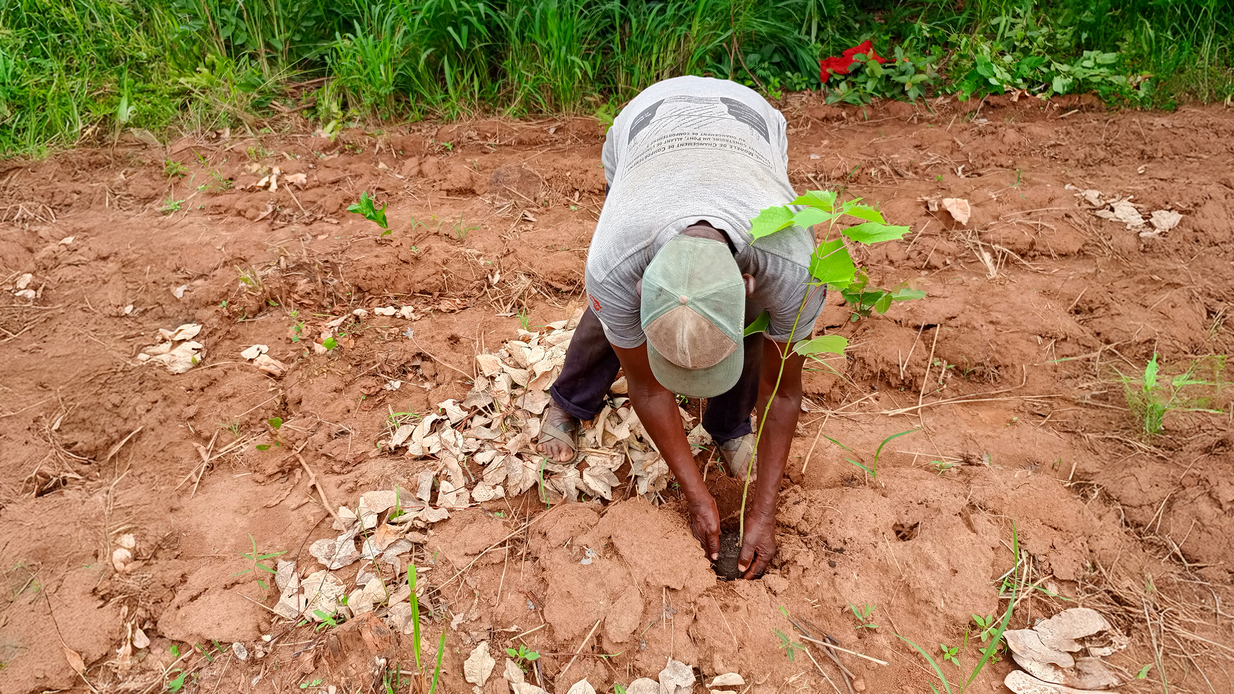
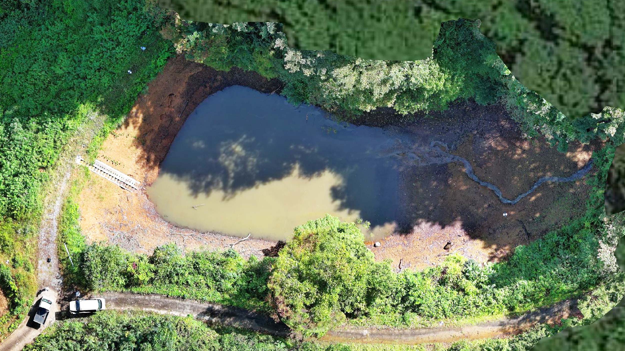
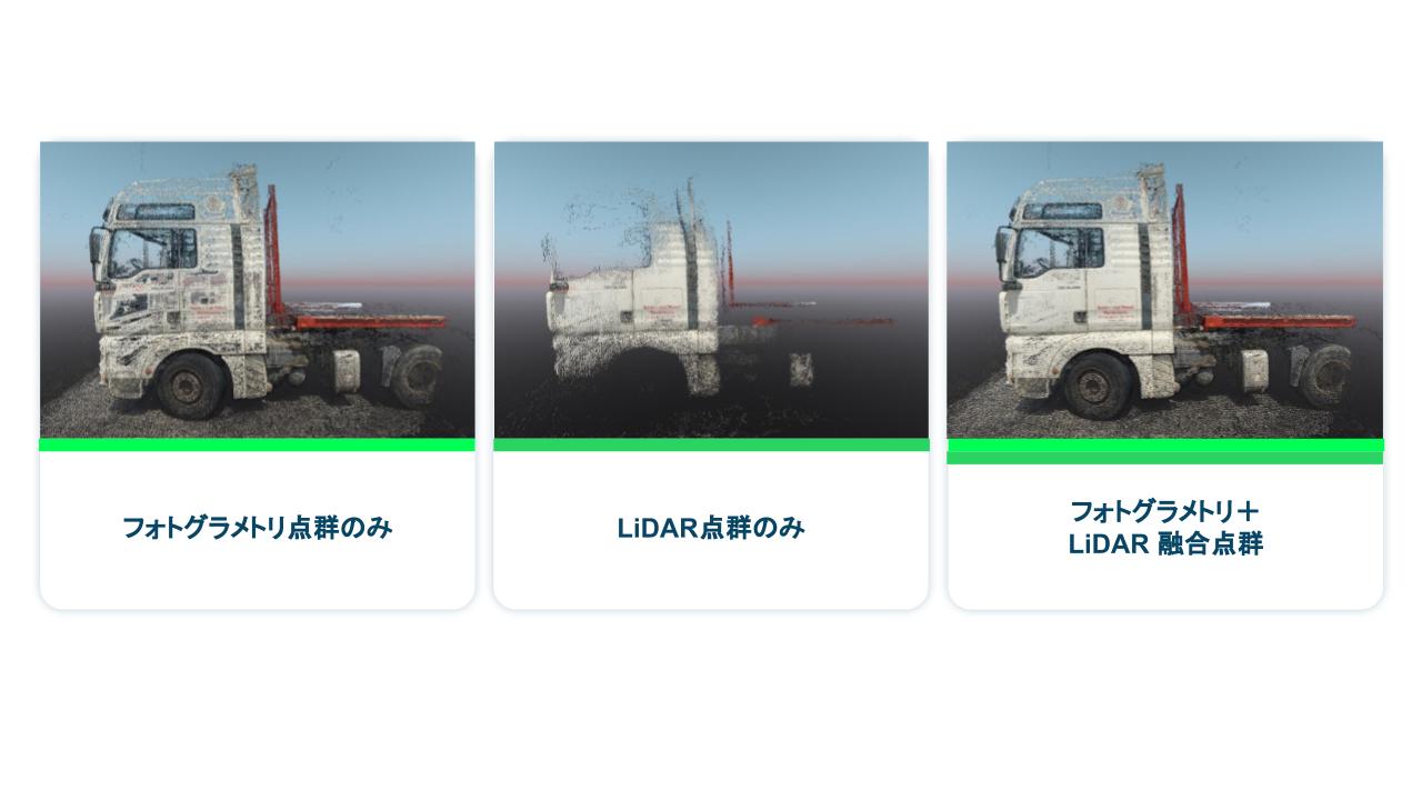
The Pix4D suite generates highly precise 3D point clouds, incorporating location information derived from images captured by mobile devices and LiDAR data. In areas where drones cannot operate, all that's needed is to walk around the target with a smartphone or tablet to collect the necessary data. Combining the advantages of two technologies, photogrammetry and LiDAR, results in 3D models with significantly higher fidelity compared to those created using LiDAR alone.
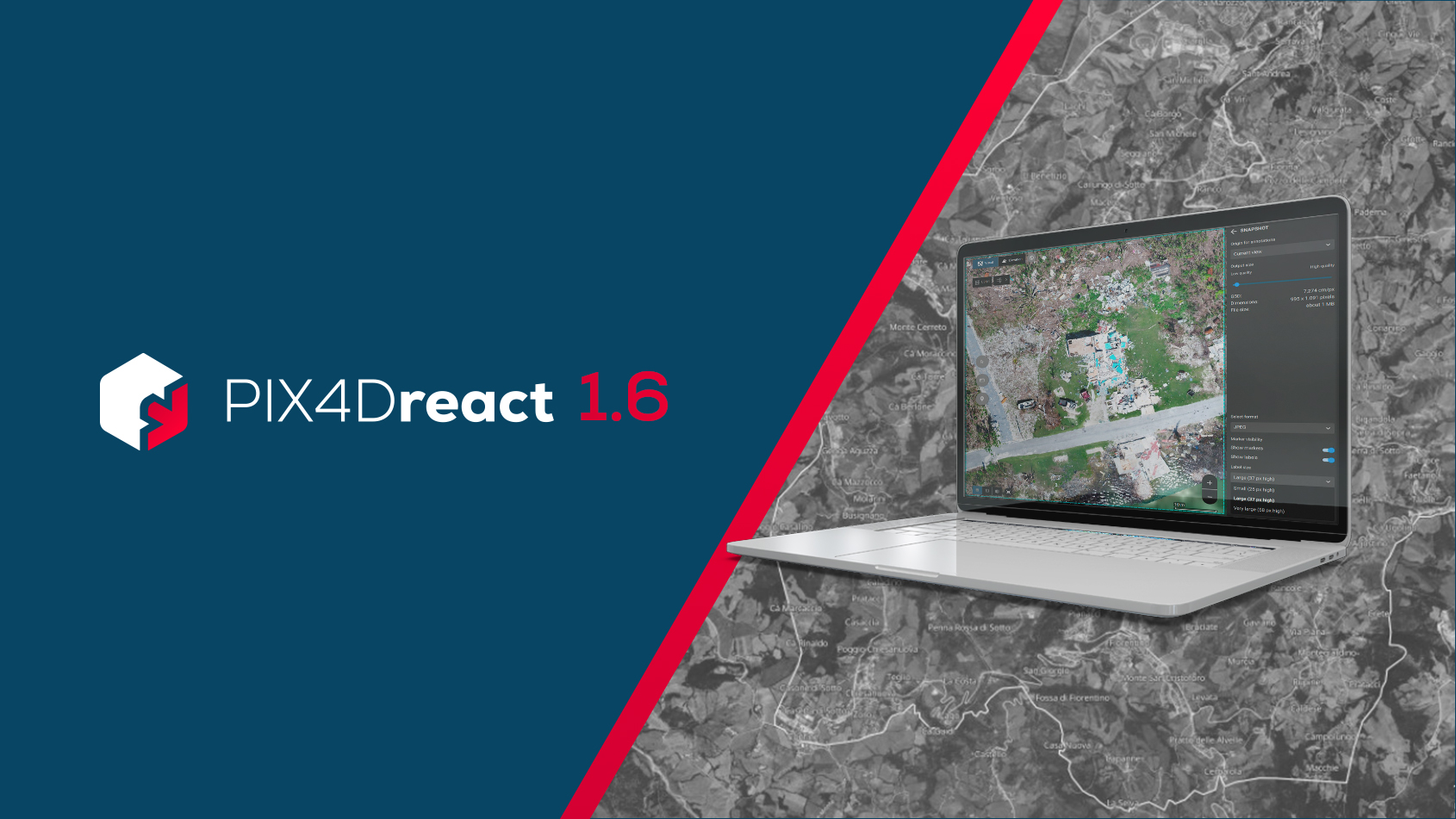
If you use the desktop version of PIX4Dmatic, you can process large amounts of data at high speed (in comparison to PIX4Dmapper). When using PIX4Dcloud you can check changes over time by sharing information with related parties and comparing it with past data.
The workflow using the Pix4D suite also complies with the "earthwork edition" and "small-scale earthwork edition" of the workmanship management guidelines stipulated by the Ministry of Land, Infrastructure, Transport, and Tourism. By being registered with NETIS, builders using the Pix4D suite will be able to add points to their construction performance rating and be evaluated when bidding for the comprehensive evaluation method. We will continue to closely adhere to industry standards with the PIX4Dcatch RTK workflow, ensuring its accessibility for all users.
About us
Pix4D is a software company headquartered in Lausanne, Switzerland, with offices in six other cities around the world. We develop and sell photogrammetry solutions that create high-precision 2D/3D models from images taken by drones and aircraft. From Australia to Antarctica, we have around 60,000 active users on every continent and almost every country. In 2020, Pix4D products were used to map over 460,000 square kilometers worldwide.
In recent years, our focus has expanded beyond aerial photogrammetry to include terrestrial photogrammetry solutions. In addition to drones and aircraft, we have directed our attention toward photogrammetry on the ground with the use of smartphones and tablets.