
Mapping an operating gas plant for localization
Energy service provider Abacus Datagraphics mapped an operating gas plant in Canada, using a fixed-wing UAV and image-processing software Pix4Dmapper to produce an up-to-date, high-resolution map for improved localization of facilities for the plant operators.
Project Information
| Company | Abacus Datagraphics Ltd |
| Country | Canada |
| Industry | Inspection |
| Project date | June 2015 |
| Project members | Kurtis Poettcker |
| Project size | 80 acres |
| Number of images | 326 |
| GSD | 3.6 cm |
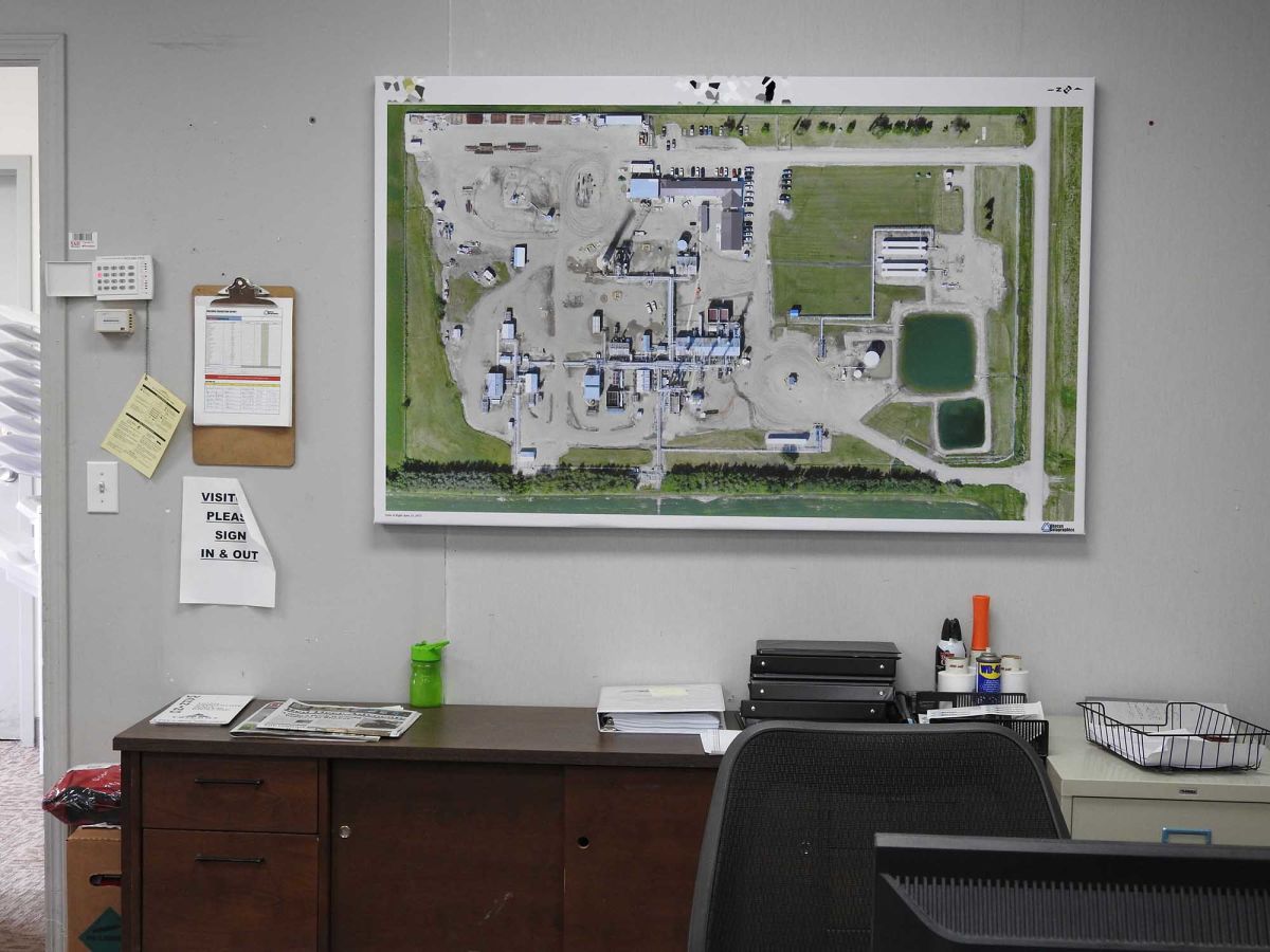
A comprehensive and up-to-date map
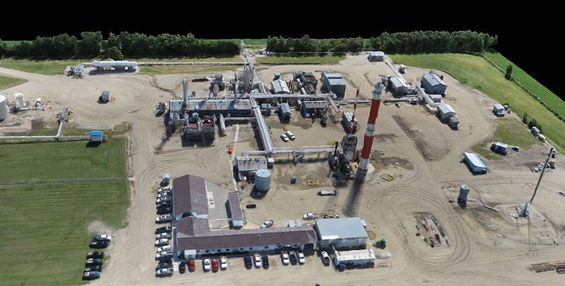
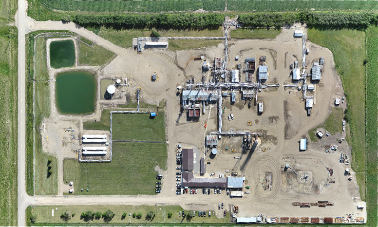
The aim of this project was to map an operating gas plant in Alberta, Canada, using high-resolution aerial imagery to obtain an orthomosaic. The orthomosaic was then underlay with a survey drawing showing all underground facilities, creating a comprehensive and up-to-date map.
Using the fixed-wing senseFly eBee, the Abacus team flew one flight, capturing 326 photos of an 80 acre area in around one hour. Because the eBee would be flying over an operating gas plant, strict regulations regarding safety policy had to be followed: takeoff and landing were performed outside of the actual plant area.
Eight ground control points were established from a previous conventional survey of the plant site, though they did not contain the elevation values and were only used to improve the horizontal accuracy.
"Results came out very well"
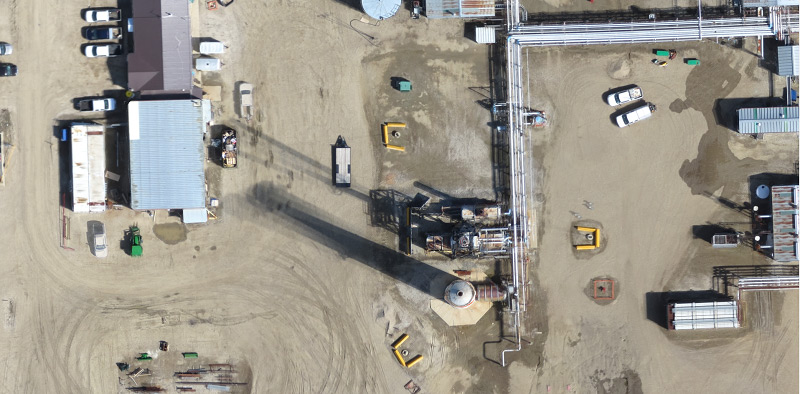
A georeferenced orthomosaic of the entire gas plant site was generated by the latest version of Pix4Dmapper, 2.0.71. Results came out very well and in high-resolution. The orthomosaic required some manual editing, however, due to moving vehicles during the image acquisition, which had caused blurring, or “ghost effect.” Additionally, the flight was executed in the evening and thus captured the significant movement of shadows, resulting in multiple long shadows on the orthomosaic.
Visualize buried facilities
Before the use of UAVs, the only way to get an orthomosaic underlay for a project like this was to purchase aerial orthophotos or processed satellite imagery, which tend to be out-of-date and of much lower resolution.
“Such results were too pixelated to be of much value,” said Kurtis Poettcker of Abacus Datagraphics. “Having a high-resolution image really enhances the usefulness of the underground map, allowing operators to really visualize the location of buried facilities.”


