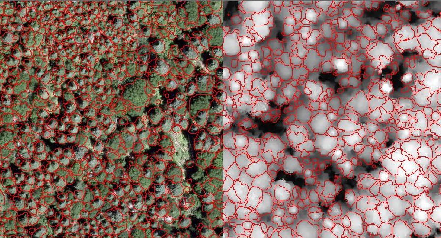
Individual tree crown depiction with Pix4Dmapper
Project Description
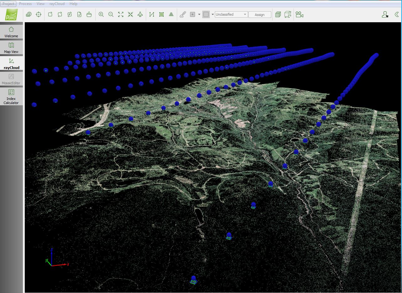
Experiments were carried on small blocks, each comprising a dozen photos. The entire study area was covered by over 500 photos, separated into two sections. In this case study, one out of the two sections was processed, and 376 images were used in the project.
The algorithm is controlled by stopping conditions based on edges, tree size and shape.
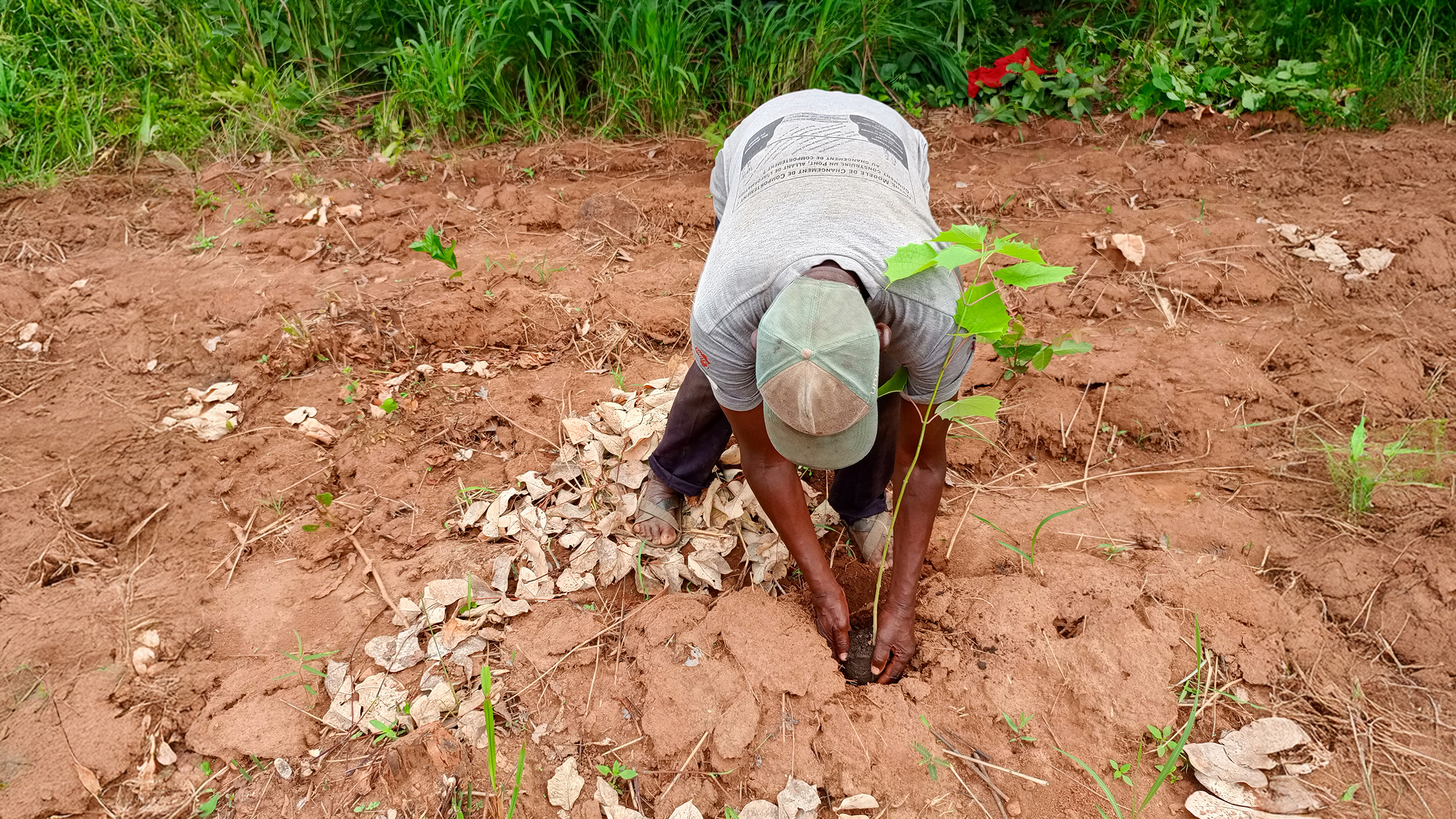
Data Acquisition
Project images were taken using a fixed wing aircraft and metric camera: the Vexcel (now Microsoft) UltraCAM-XP onboard of an aircraft.
The GSD of the project was 10 cm. For aerial image acquisition, a standard flight plan was used, i.e. a continuous grid-like pattern with parallel flight lines. All photos were vertical (nadir), and 245 ground control points were used for the full area.
Achieved Results
The images from the metric camera UltraCAM-XP were calibrated and processed using Pix4Dmapper. In the point densification process in the software, we chose in the options 2 and 3 for minimum matches and compared the results.
It turned out that to densify point cloud with minimum 2 matches (more points but with slightly less accuracy) achieved a better result after interpolation because the minimum 3 matches contains less points and thus more null values when comparing to the LiDAR point clouds.
Advantages of This New Technology
The quality of the photogrammetric point cloud is such that even individual trees with elongated shapes can be resolved. In comparisons with other image matching software, Pix4Dmapper stood out as the one providing the highest 3D quality over forested scenes. This allowed us to automatically delineate individual tree crowns and extract features such as height and species type (conifer vs. deciduous). This is the first demonstration that such results can be obtained from photogrammetric point clouds.