Get measurements for a quotation in minutes with Pix4D
A new tool
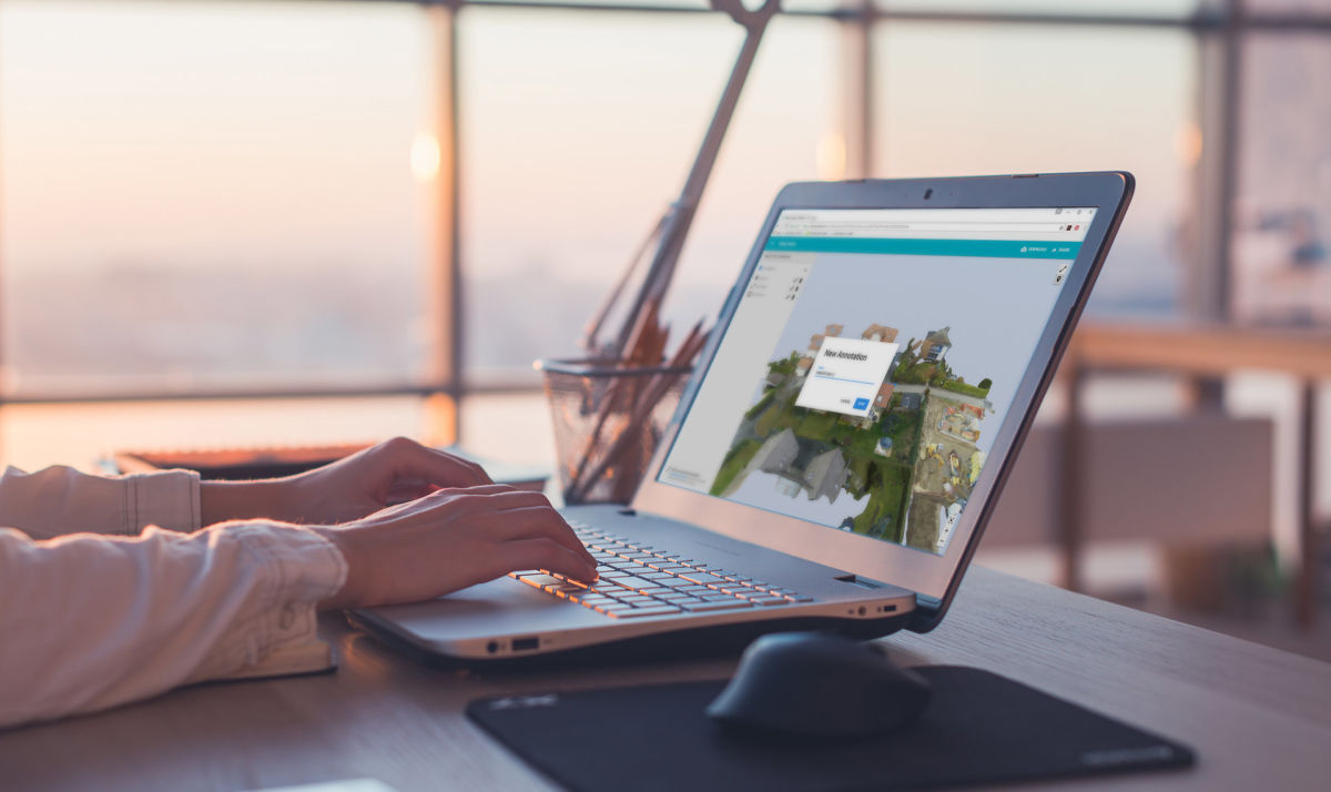
Now you can create, save and share annotations in the 3D view.

Add markers and labels to identify elements, quickly measure distances and surfaces in your 3D model.
Once you added the annotations, you can edit them, and the changes are saved automatically.
When you share your 3D model, the person who receives it can visualize the annotations and interact with it.
Improving efficiency & safety
To create a quotation, architects, designers, contractors and craftsmen, no longer need to deploy a full team, and spend hours, transporting ladders and measurement tools, climbing roofs, and manually measuring building and sites.
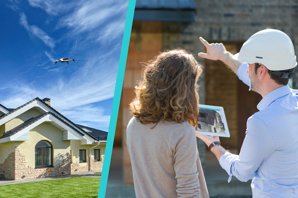
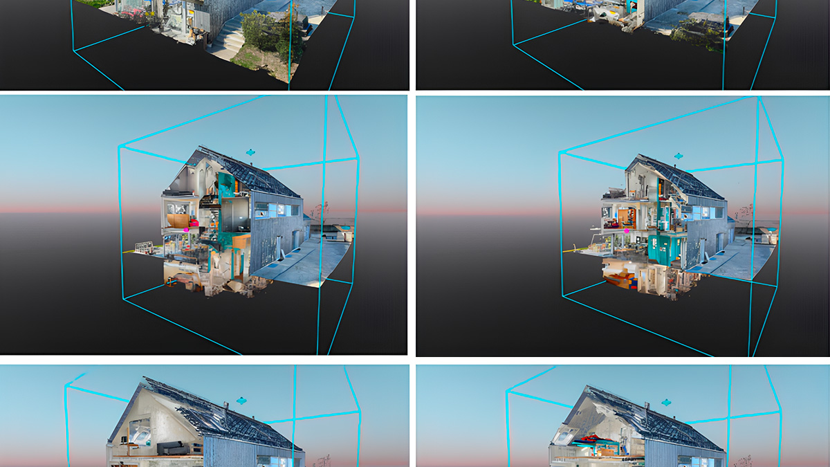
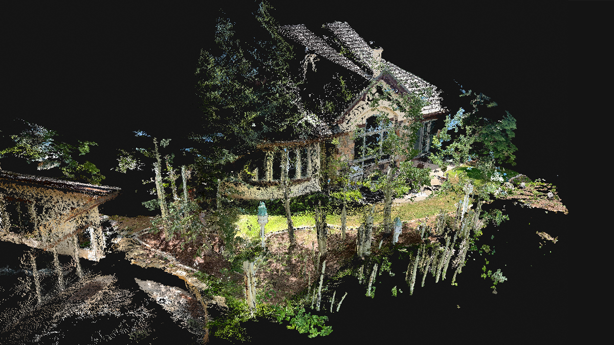
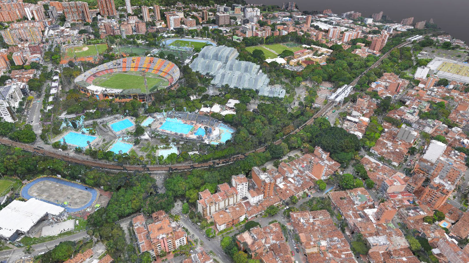
Now, in just minutes, with a drone and Pix4D, you can get an online measurable 3D model, identify and pinpoint elements, measure the length of a roof and the surface of walls or roofs, and share them with your team and clients.
Drone-based operations also reduce the risk and cost of work accidents and clients’ property damage.
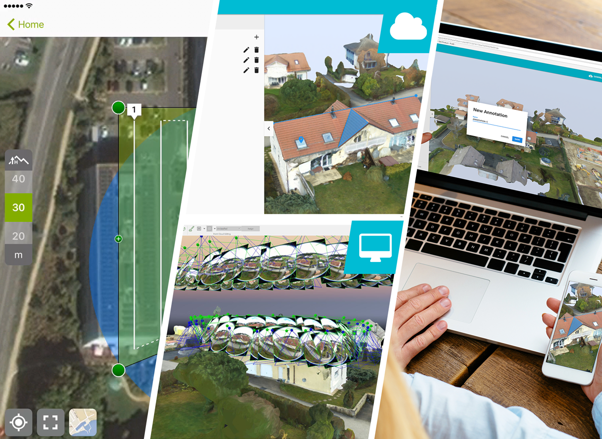
Surveying a property has never been easier
With a drone and our free mobile app Pix4Dcapture, you can create flight plans and get optimal images to create 3D models, with Pix4Dmapper Desktop or Cloud:
- Pix4Dmapper Cloud automatically transforms the images into 3D models, enables quick analysis, sharing and online publishing, and in case you need a more advanced analysis, or you want to make a fly-through video of your 3D model, you can download the project to your Pix4Dmapper Desktop, and use advanced editing and video creation tools.
- Alternatively, you can create your project using Pix4Dmapper Desktop, and upload it to Pix4Dmapper Cloud to share it and publish it online.
