
Enhancing collaboration with PIX4Dcloud Advanced's Reports
The latest release of PIX4Dcloud Advanced has arrived with the possibility of automatically creating reports. Reports are customizable and can consist of measurements, markers, volumes, notes, or inspections. This new functionality significantly enhances PIX4Dcloud’s collaboration and reporting capabilities.
Why do you need Reports?
Effective communication, quality control, efficient inventory management, and informed decision-making are all vital components of successful project management and site operations. Reports play a pivotal role in each of these aspects, serving as a cornerstone that connects team members, stakeholders, and clients. Below are some of the examples of how reports empower collaboration, project management, and more.
Communication: Reports facilitate communication between team members, stakeholders, and clients. They provide a clear and concise way to convey important information about a site or project.
Quality control: inspection reports can highlight areas that require attention or corrective actions. This is particularly useful in industries like construction, where safety and quality are paramount.
Inventory Management: Volume and stockpile reports are essential for inventory management. They help organizations keep track of materials on-site, optimize storage, and plan for restocking. Volume reports let you quickly and easily measure and report the earth being moved. For example, you can easily share the work you have done with a contractor and ask to be paid accordingly.
Decision Support: Reports provide data-driven insights that support informed decision-making. This is valuable in project planning, resource allocation, and performance evaluation.
Remote Monitoring: Reports can be generated remotely, allowing users to monitor sites and assets from anywhere with an internet connection. This is especially beneficial for large or geographically dispersed projects.
Reporting capabilities
You can decide what you want to include in the report and who you want to share it with:
Measurements: measure lines, areas, or polygons, and communicate findings to the team or stakeholders.
Points: highlight specific areas you want the team to focus on.
Volumes: measure how much earth was moved.
Inspections: virtually inspect any area of interest by inspecting all the original images, and you can pin or comment with detailed information or actions to take.
How does it work?
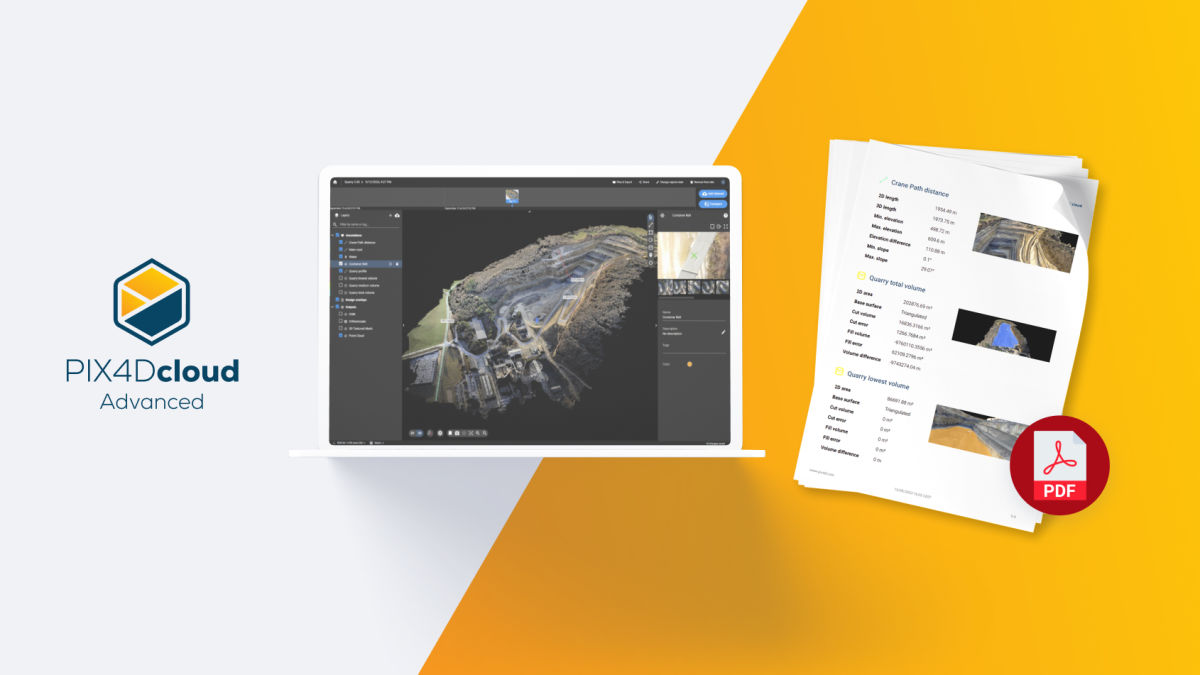
Once you have created or imported the annotations you want to report on (including measurements, volumes, points, and inspections), select Files & Export > Files > Results and click the “Generate” button. Configure the report settings and select “Generate” from the bottom right.
Once your report is ready, you will receive it via email. For more information about the Annotations report and its settings, read our support documentation.
Get a sample report
Want to look at the report firsthand? View it here:
Reports is an indispensable new functionality of PIX4Dcloud Advanced, enhancing data analysis, communication, and decision-making across various industries. Reports contribute to efficiency, accuracy, and compliance, while facilitating collaboration. Try PIX4Dcloud Advanced now and see for yourself!


