

Mapping an ecosystem: Canadian eelgrass and kelp
Seagrass meadows and kelp forests are among the most productive ecosystems on Earth.
In Central Coast of British Columbia, Canada, this abundance of plants and algae buffers the coastline from winter storms, draws-down atmospheric carbon, and provides habitat for a diversity of other creatures.
These dynamic ecosystems can shift rapidly due to factors such as the changing ocean climate, and the recovery of certain top predators like sea otters. The main purpose of this project is to better understand the local and regional factors that drive change in these coastal ecosystems, and the consequences of these dynamics.
| Institute | Hakai Institute |
| Country | Canada |
| Industry | Environmental Monitoring |
| Project Date | August 2015 |
| Project Members | Will McInnes, Ray Brunsting |
| Project Size | 4.5 Square Kilometers |
| Number of Images | 415 |
| GSD | 12.5 cm |
Mapping the ecosystem
The project was driven by The Hakai Institute is a scientific research institution that advances long-term ecological research at remote locations on the coastal margin of British Columbia, Canada.
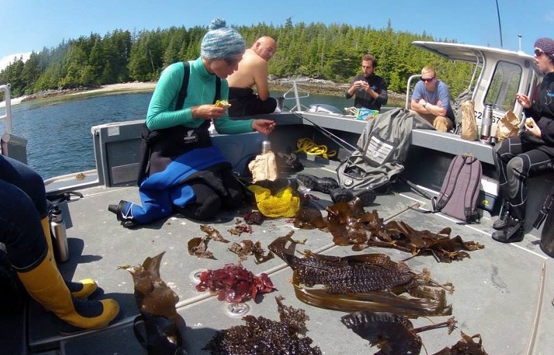
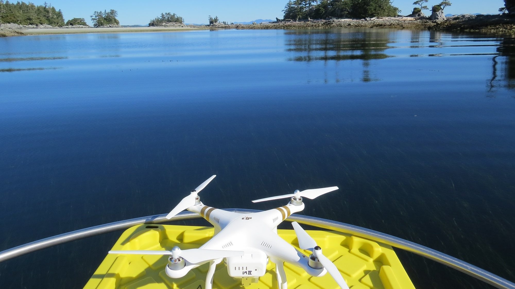
Images were captured by manually flying a DJI drone – Phantom 3 Professional – from an 8-meter open boat at low tide. To map the seagrass meadows and kelp forests, we conducted two drone flights and captured 415 images at an altitude of 300 meters over an area of approximately 4.5 km².
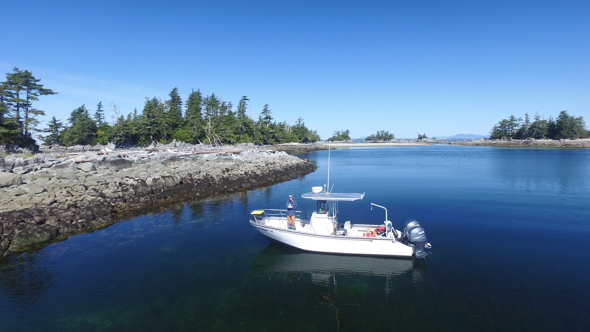
A Topcon GRS (Geodetic Rover System) field surveying equipment system was used to provide accurate locations of the ground markers and better georeference the final orthomosaic.
Long term monitoring
From the images taken from the DJI consumer drone, Pix4Dmapper generated a 3D point cloud and 2D orthomosaic of the McMullin Islands in high resolution. The on-site flight and ground survey took one day, and processing this data required an additional two days.
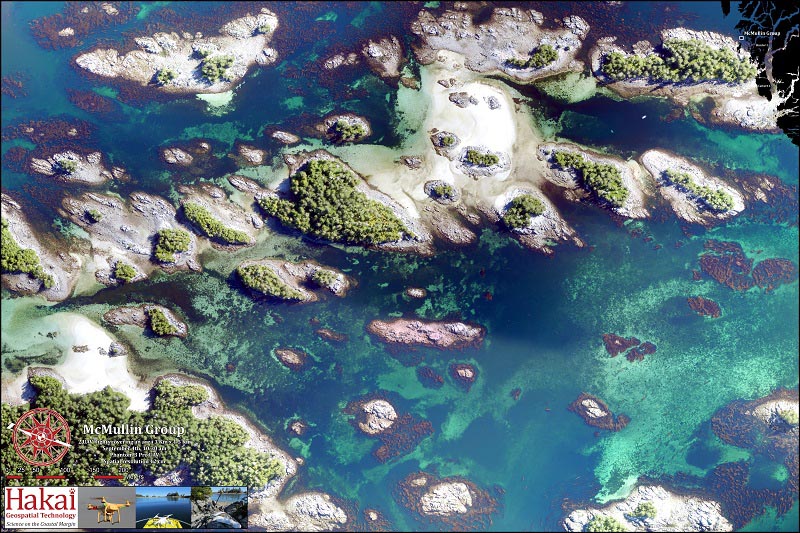
Seagrass meadows and kelp beds are clearly visible in the resulting orthomosaic, which allows researchers to easily delineate the extent of these vital coastal ecosystems. These images act as a baseline that can be compared to future images to monitor potential changes over time and will be of vital importance as the ocean's climate continues to change.


