
The future of accuracy: marking GCPs automatically
Ground control points are critical for ensuring a project’s accuracy. But marking GCPs is a time consuming manual process. In this article, we will discuss the required steps and a new way to improve the manual process of marking GCPs - with Pix4D’s latest feature: AutoGCPs.
The AutoGCPs feature is now available on Pix4Dcloud Advanced and Pix4Dengine. Before we get to how AutoGCPs works, let’s refresh our memory on what GCPs are and why they are important.
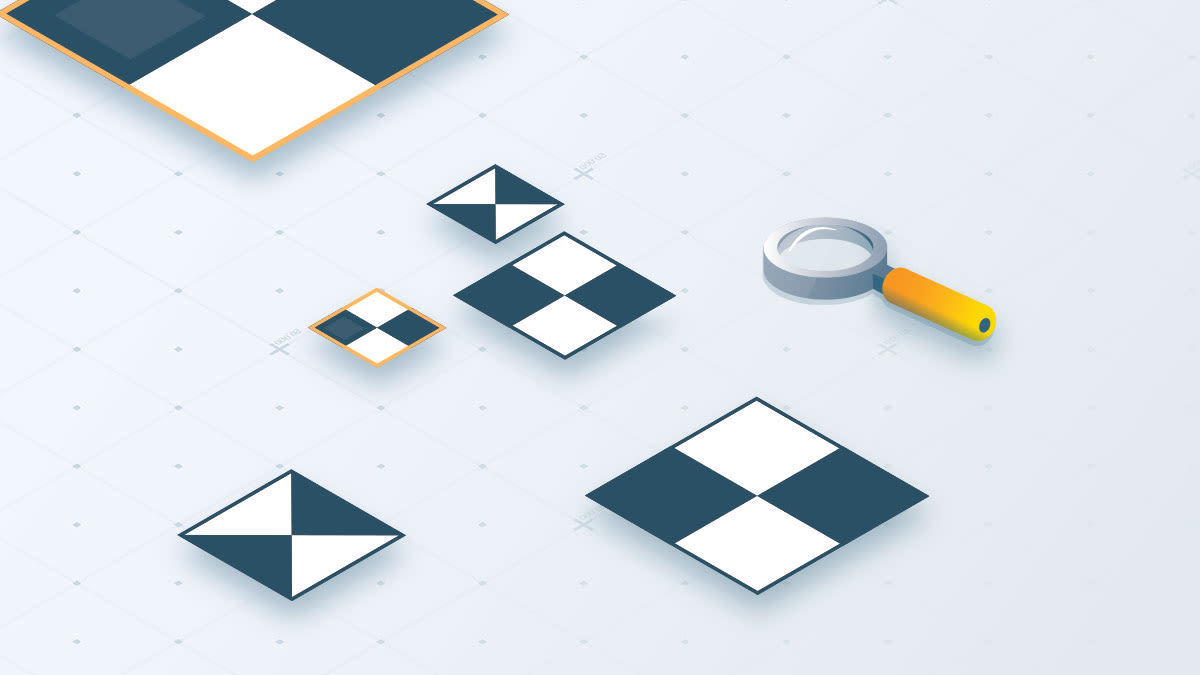
What are ground control points (GCPs)?
Working with drones and photogrammetry, you must know about GCPs. But what are they exactly?
Why are GCPs important and are they always needed?
Without GCPs, the project is georeferenced solely using the drone’s GNSS receiver. Any point in your project will typically be within 1 and 10 meters of its real-world location. This degree of accuracy may be more than sufficient for environmental monitoring or 3D modeling projects which only require relative accuracy. But for land surveying, earthwork, topographic surveys, or volume calculations, more accurately georeferenced outputs are typically required to get the job done.
If you include GCPs, the absolute accuracy of a project can improve from plus or minus a handful of meters to plus or minus a few centimeters.
Learn more about how to use GCPs.
AutoGCPs: the next step in achieving accurate results
What if there was a solution to avoid the manual marking of GCPs in projects?
With Pix4Dcloud Advanced and Pix4Dengine, the new AutoGCPs feature automatically marks your GCPs for you. There's no longer a need for someone to spend time pinpointing the exact center of the target in every image. Now, you can make time for other things while AutoGCPs marks your ground control point targets in your images for you.
AutoGCPs on Pix4Dcloud Advanced
You can now process your project with GCPs on our browser-based platform, Pix4Dcloud Advanced.
For this, you will need drone images and basic information about your GCPs, such as the coordinate values, the coordinate system, and the size of the targets. Upload the information to Pix4Dcloud Advanced, and our algorithms will do the rest - marking the GCPs targets and delivering accurately georeferenced results. Pix4D has combined machine learning and computer vision to pinpoint the exact center of a GCP almost instantly with pixel-level accuracy.
Once the processing is complete, you will receive a notification email with a quality report attached.
Please note the AutoGCPs feature on Pix4Dcloud Advanced is currently in beta.
AutoGCPs with Pix4Dengine
Pix4Dengine is a set of programming modules accessible via Application Programming Interfaces (APIs) and Software Developing Kits (SDKs), aiming to deliver photogrammetry at scale.
AutoGCPs is a new module available to Pix4Dengine SDK customers, where algorithms automatically detect GCPs targets in your images.
For more information, please check the technical documentation.
Get the most out of automatic online processing
Good image quality and identifiable targets are the first prerequisites, but other best practices have to be taken into account to improve the accuracy of your projects without sacrificing time.
Check out our technical article on how to ensure optimal results with the AutoGCPs feature.


