Building bridges in Malawi with drones and PIX4Dmatic
The rainy season in Northern Malawi presents significant challenges for the community of Kafulufulu. With roads becoming muddy and rivers overflowing, daily life is disrupted, and access to essential services is blocked. In response, the community reached out to Wells for Zoë, an Irish NGO active in the area, requesting the construction of a footbridge to provide safe passage to vital resources, including the local school.
Wells for Zoë is a small Irish voluntary organization established in 2005, primarily operating in Northern Malawi. Their focus is on empowering rural communities to access clean, safe drinking water, benefiting over 750,000 individuals to date. Additionally, they conduct training sessions to encourage the planting of indigenous trees, aiming to plant over 4 million trees this season! Their underlying goal is to provide knowledge and support to better the lives of the poorest in Malawi.
Using drones to select a construction site
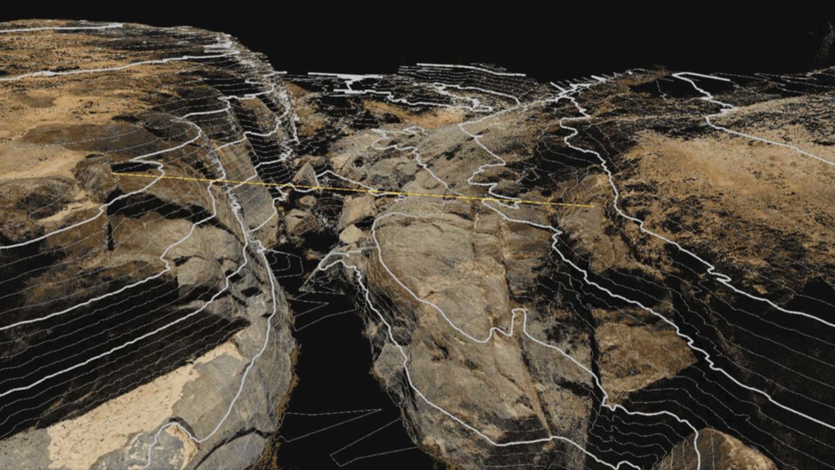
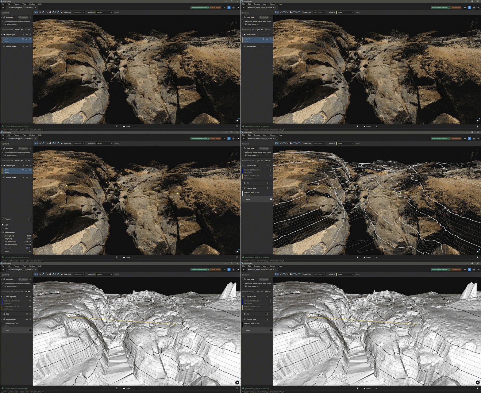
To identify the best spot for the requested footbridge, Wells for Zoë took to innovative means. They conducted drone inspections of the sites and used Pix4D software to generate comprehensive 3D maps of the area. They added contour lines and dimensions on the maps which aided in the measurement of timbers and other materials essential for constructing the bridge. They used the maps to help them select the best location.
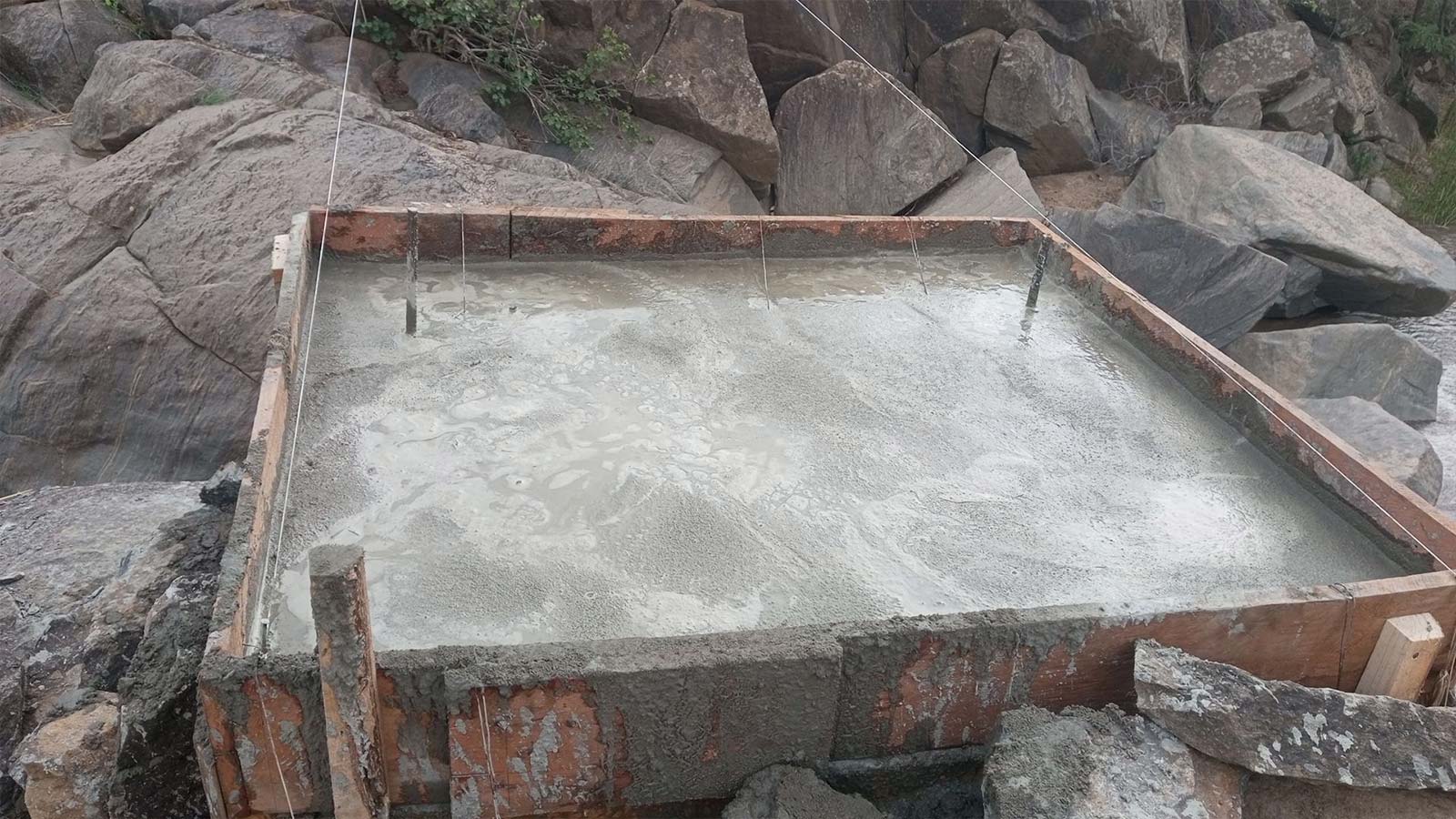
After deciding on the best spot they brought some simple tools: an electric percussion drill, rebar, a generator, and some sledgehammers. The team successfully built a strong foundation anchored into the rocks on both sides of the river, which was crucial for the bridge's stability—especially during the rainy season.
Photogrammetry assists construction
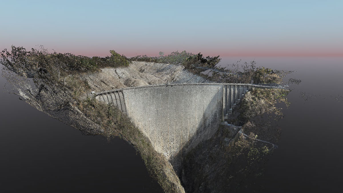
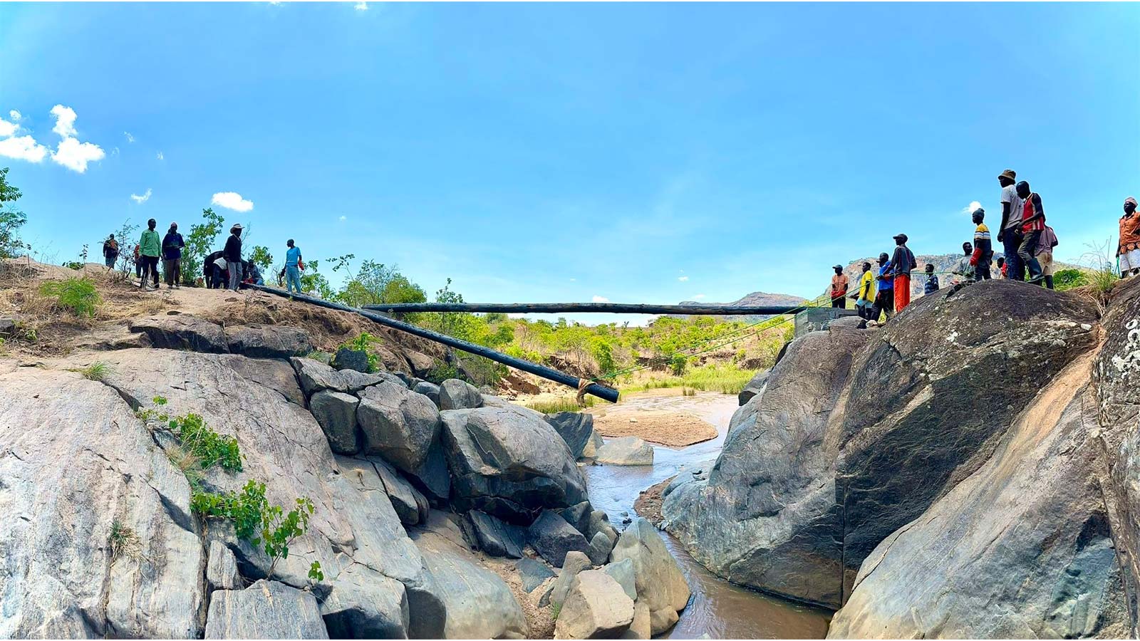
After a foundation was installed on either side, they brought four wooden electricity poles and some carpenters from Mzuzu, the capital of Malawi’s Northern region, to construct the wooden bridge. Getting the long poles there was a challenge in itself as only small vehicles were available to transport them! But they found a way, and the bridge was constructed. It took about 10 days to build in total, and the drone mapping was completed in a single flight of about 6 minutes, using a DJI mini 2 in manual flight mode. They processed the data with PIX4Dmatic, generating a 3D point cloud, which they imported into PIX4Dsurvey.
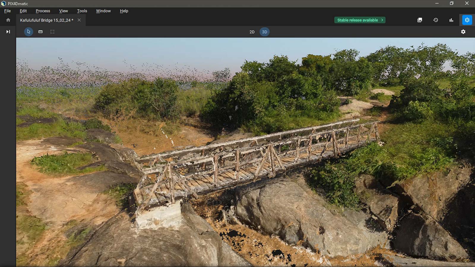
Once in PIX4Dsurvey, they created a TIN (Triangular Irregular Network) with a 0.2-meter raster and then created the contour lines of 0.25 meters. They used the added contour lines to make sure the elevation difference within the bridge would not be an issue and to see how high the foundation should be in the foreground.
“Having used Pix4D mostly to do large-scale mapping we were curious how well it could work to use 3D point cloud data in a very special case of civil engineering in an aid project to cut costs and increase speed. Long story short: we are super excited about how easy this was, especially the option to add contour lines and measure distances from point to point was amazing.” - Kevin Dalferth, Scientific Advisor for Wells for Zoë
Pix4D enables remote collaboration
Pix4D played a pivotal role in the project's success by enabling remote collaboration. They wanted the opinion of external advisors and civil engineers, but since they were so remote they wanted to avoid having to fly in an expert for an on-site assessment. They turned to local pilots to create a drone map by manually flying and capturing photos. They could then provide the experts with a detailed visualization of the site, sharing the 3D point cloud from PIX4Dsurvey remotely. Using the point cloud, they could measure distances and define the most suitable position to create the foundation.
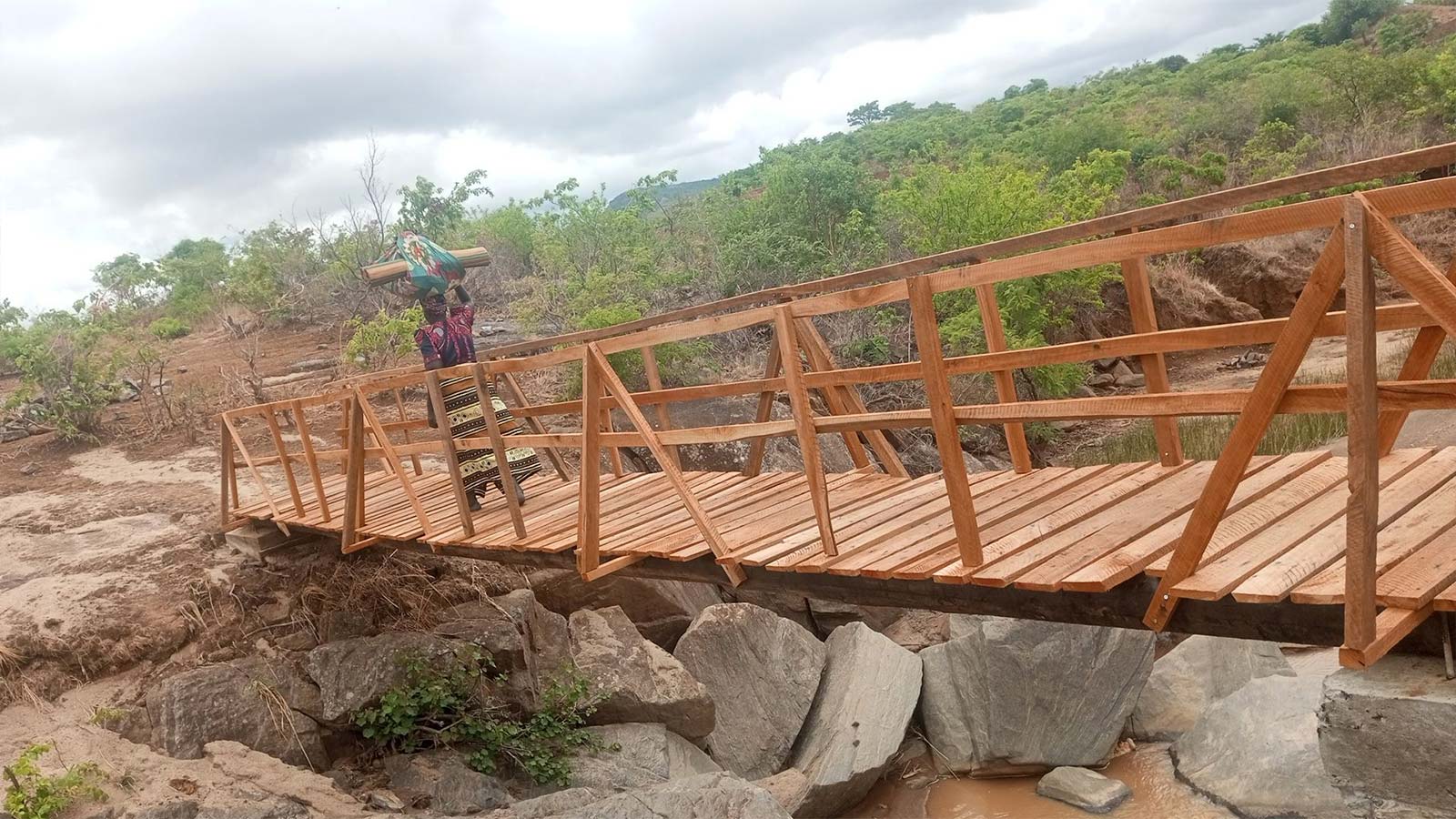
The completion of the bridge has had a life-changing effect on the community of Kafulufulu. Now, people can cross the river easily no matter the weather: farmers can sell their crops, children can finally go to school in the rainy season, and sick people can get medical help.
We spoke with Kevin Dalfeth, scientific advisor from Wells for Zoë, who said a huge advantage of the software was the speed of use: “This cannot be overstated enough! It really is foolproof, and training someone who has never worked with GIS or drones or any of this can just intuitively use the software.”
Kevin expressed amazement at the ability to construct the bridge at the best position with help from outside the country, using the virtual 3D point clouds feature on shared screens. Reflecting on the past he remarked, “It’s pretty amazing to think about what would have been required 20 years ago—a helicopter, laser systems, and more.”
