3D models & angles between images in circular missions
Image-angle overlap in circular missions
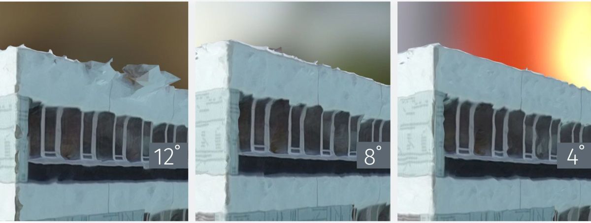
To help you compare, we tested variations in image-angle overlap in circular missions.
Circular missions are recommended to 3D map a single object of interest, like a building or a monument.
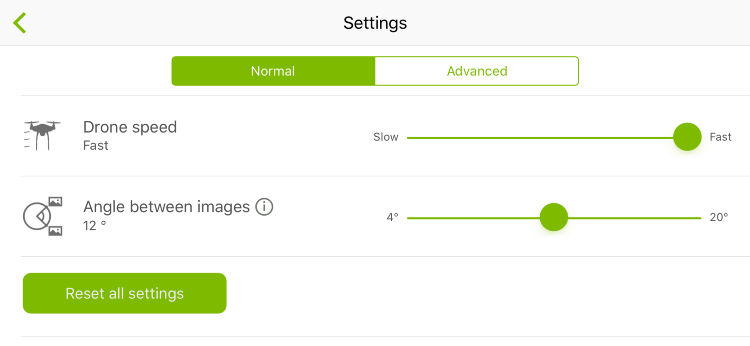
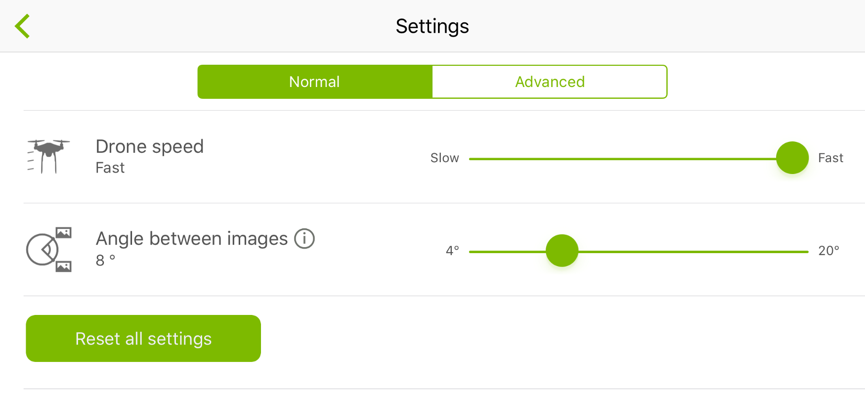
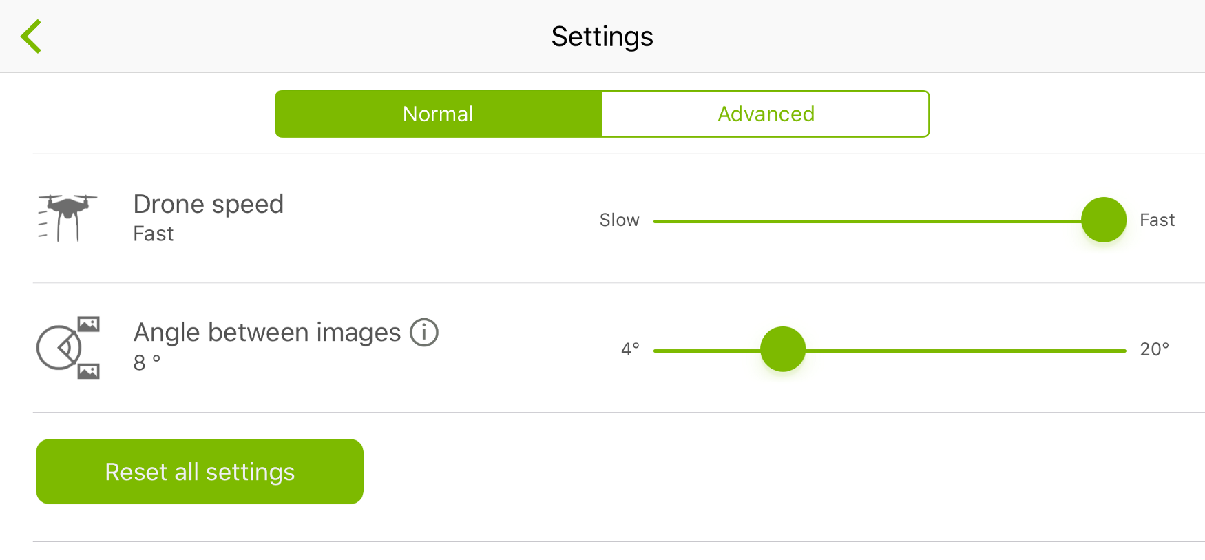
When it comes to circular mission settings, with Pix4Dcapture, you can choose the angle between images.
By dividing the 360° flight covered by the drone into sections, or variable angles (4°, 8°, 12°), the drone is told by the app to shoot a picture when it reaches the predefined angle.
At a practical level, this means that at a low angle value (e.g. 4°), the drone will take more images and have a bigger image overlap than a higher angle value (e.g. 12°).

For this test, we flew the three missions around a building with a base of 30 x 30 meters and height of 18 meters, using a DJI Phantom 4.
Each mission had a different value for the “angle between images” setting; we tested capturing images with 12°, 8° and 4°.
As constant factors, the flight altitude was 40m and the data was processed on Pix4D Cloud.
Circular mission with 12° angle between images
| Flight time | 4 min 29 s |
| Number of images | 31 |
| Cloud processing time | 10 min 8 s |
| Average GSD | 3.11 cm / 1.22 in |
Circular mission with 8° angle between images
| Flight time | 5 min 44s |
| Number of images | 62 |
| Cloud processing time | 17 min 23 s |
| Average GSD | 2.87 cm / 1.13 in |
Circular mission with 4° angle between images
| Flight time | 9 min |
| Number of images | 124 |
| Cloud processing time | 35 min 23 s |
| Average GSD | 2.84 cm / 1.12 in |
How do I choose the angle between images in circular missions?
To answer this question, it is important to define a goal of the 3D mapping project and keep in mind time and quality constraints.
By using a higher overlay level, there is more image information for the software to reconstruct an object, resulting in a more detailed 3D model. However, more data implies more time spent flying and acquiring images, and also a longer processing time.
Depending on the purpose of the 3D model, the option to manage the angle between images helps to balance time and quality: allowing you to choose from faster and more schematic reconstructions to more detailed ones.
