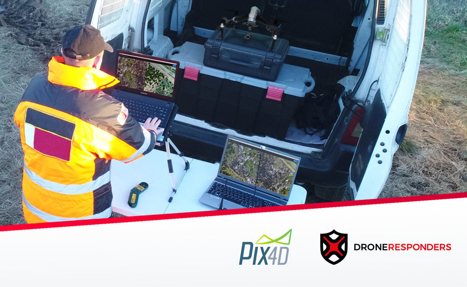
Pix4Dmapper for Collision Reconstruction
How drones and Pix4Dmapper can collect court-ready documentation quickly and accurately.
Pix4Dreact rapid mapping for public safety & disaster response
Webinar: How drones and Pix4Dreact can help law enforcement, fire planning and disaster response.
In this free on-demand webinar, Pix4D and three members of the DroneResponders advisory board discuss their real experiences in accident reconstruction, fire planning and disaster response with rapid mapping tool, Pix4Dreact.


