DJI Inspire 1
DJI Inspire 2
DJI Mavic Air
DJI Mavic Air 2
DJI Mavic Air 2s
DJI Air 3
DJI Mavic Mini
DJI Mini 2

DJI Mini 3
DJI Mini 3 Pro
DJI Mini 4 Pro
DJI MAPIR

DJI Mavic Pro

DJI Mavic 2 Pro

DJI Mavic 2 zoom
DJI Mavic 2 Enterprise Dual
DJI Mavic 2 Enterprise Advanced

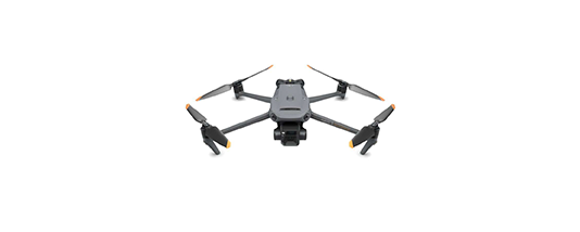
DJI Mavic 3 / DJI Mavic 3 Pro
DJI Mavic 3 Multispectral
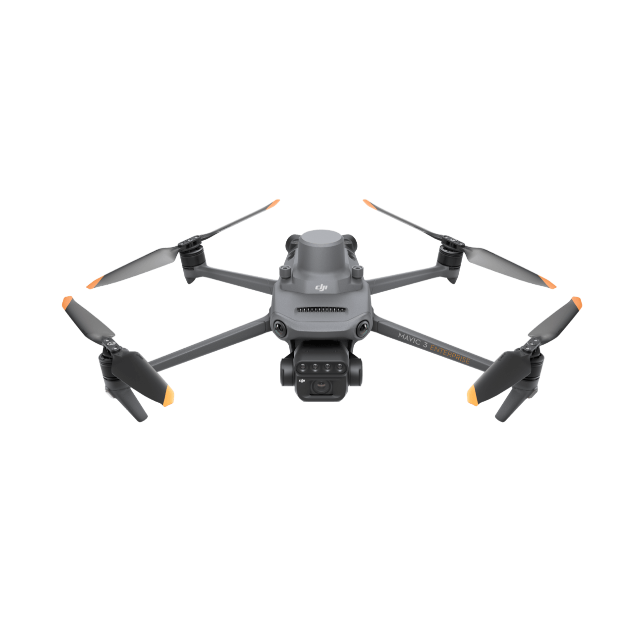
DJI Mavic 3 Enterprise - 3E
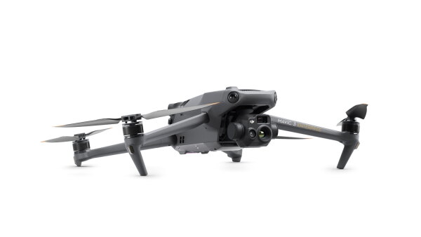
DJI Mavic 3 Thermal - 3T
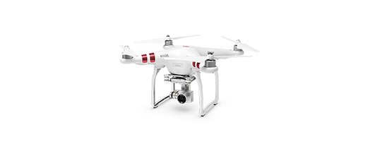
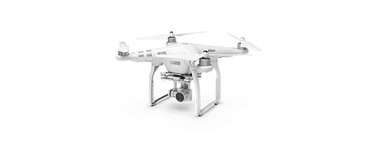
DJI Phantom 3
DJI Phantom 3 Advanced

DJI Phantom 3 Pro

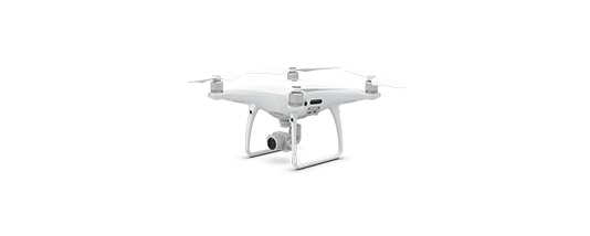
DJI Phantom 4
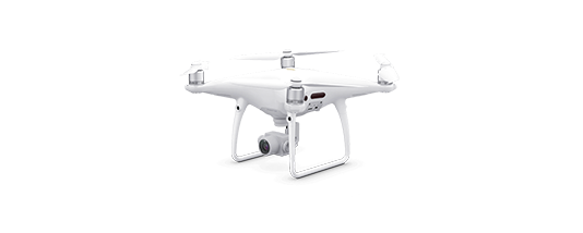
DJI Phantom 4 Pro
DJI Phantom 4 Pro V2

DJI Phantom 4 RTK

DJI Phantom 4 Multispectral
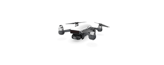
DJI Spark
DJI Matrice 100

DJI Matrice 200
DJI Matrice 200 V2

DJI Matrice 210

DJI Matrice 210 RTK

DJI Matrice 210 V2
DJI Matrice 210 V2 RTK
DJI Matrice 300 RTK
DJI Matrice 30T
DJI Matrice 600