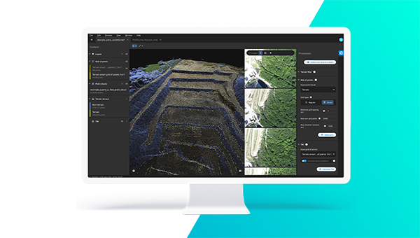
 PIX4Dsurvey
Bridge the gap between photogrammetry and CAD

Monthly subscription
/ month
Billed monthly, excl. taxes
Billed monthly, excl. taxes
Buy now
Desktop application with floating license (use on 1 device)
Personal support and upgrades included during your subscription
Recurrent monthly subscription. Cancel anytime.
Yearly subscription
/ month
Buy now
Desktop application with floating license (use on 1 device)
Personal support and upgrades included during your subscription
Recurrent yearly subscription. Cancel anytime.
3-year subscription
/ month
Want to pay via wire transfer? Click here
Desktop application with floating license (use on 1 device)
Personal support and upgrades included during your subscription.
Recurrent 3-year subscription. Cancel anytime.
One-time charge
/ one-time
Billed one time, excl. taxes
Buy nowBilled one time, excl. taxes
Want to pay via wire transfer? Click here
Desktop application with floating license (use on 1 device)
Personal support and upgrades included in first 12 months (yearly extension 10% of licence price)*.
One time payment.
Trusted by professionals worldwide
"By using PIX4Dsurvey we could significantly speed up our work, especially when it comes to digitizing. What usually took two and a half - 8 hr days, now takes less than a day or only a few hours depending on the project size."

We offer support at any level
including your trial

support

& training

support
Frequently asked questions
Can I try PIX4Dsurvey?
What are my payment options?
Can I purchase one month at a time?
How does the floating license work?
What are Personal Support and Upgrades?
For monthly or yearly subscriptions, it is automatically included during their entire duration. For perpetual licenses, it is included for the first 12 months after the purchase.
*S&U can be purchased and keep being renewed at 10% of the regular list price annually and at 15% of the regular list price if the renewal deadline is missed.
Do you offer training?
What if I have technical questions?
Can I change or cancel my subscription?
Can I access PIX4Dsurvey offline?

Still have questions? We are here to help
Ask us about Pix4D products, bundles, pricing, payment conditions or anything else. Our sales team is standing by, ready to help.
Contact us