
WEBINAR
Drone-mapping for Public Safety
How innovative public safety organizations are incorporating drone mapping into their operations
About the webinar
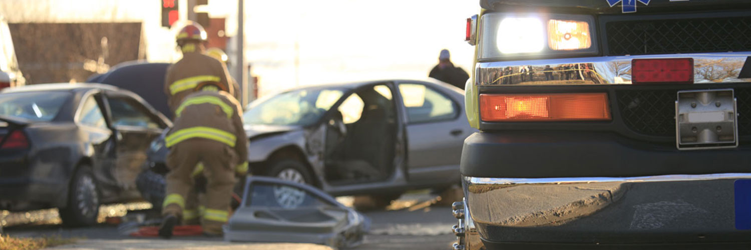
Public Safety continues to evolve with technology. Is your organization keeping up? Our expert speakers discussed how innovative organizations use drones and Pix4D software to smooth workflows, uncover previously hidden data, and recreate accident scenes.
With real-world case studies from some of the world’s most innovative Public Safety organizations, this webinar covered the practicalities of gathering data (even when you don’t have a drone), the legalities of collecting and using imagery, and how Pix4D can be used to get the information your team needs.
Key learnings
- How and why the world’s most innovative public safety organisations are using drones in their operations.
- The outcomes of real-world case studies involving drone mapping and photogrammetry software.
- How photogrammetry software can complement traditional surveying methods, plus alternatives to drone mapping.
- How accurate 3D models and site recreations can be applied in a public safety context.
- Plus actionable tips and Q&A.
If this form does not display correctly, please ensure that JavaScript is enabled in your browser settings and clean your browser\'s cookies. You can do this by navigating to your browser\'s settings, then proceed to reload the page.
Presenters

Mark Johnson,
Founder and President of Visual Law Group

Walter Chomentowski,
Geospatial Intelligence Specialist, Michigan State Police

Sam Pepple,
Pix4D