PIX4Dfields
Hybrid drone and satellite mapping software for aerial crop analysis and precision agriculture
Saving time, money, and agricultural inputs has never been easier.


Available for Windows & macOS
Compatible with all machinery brands
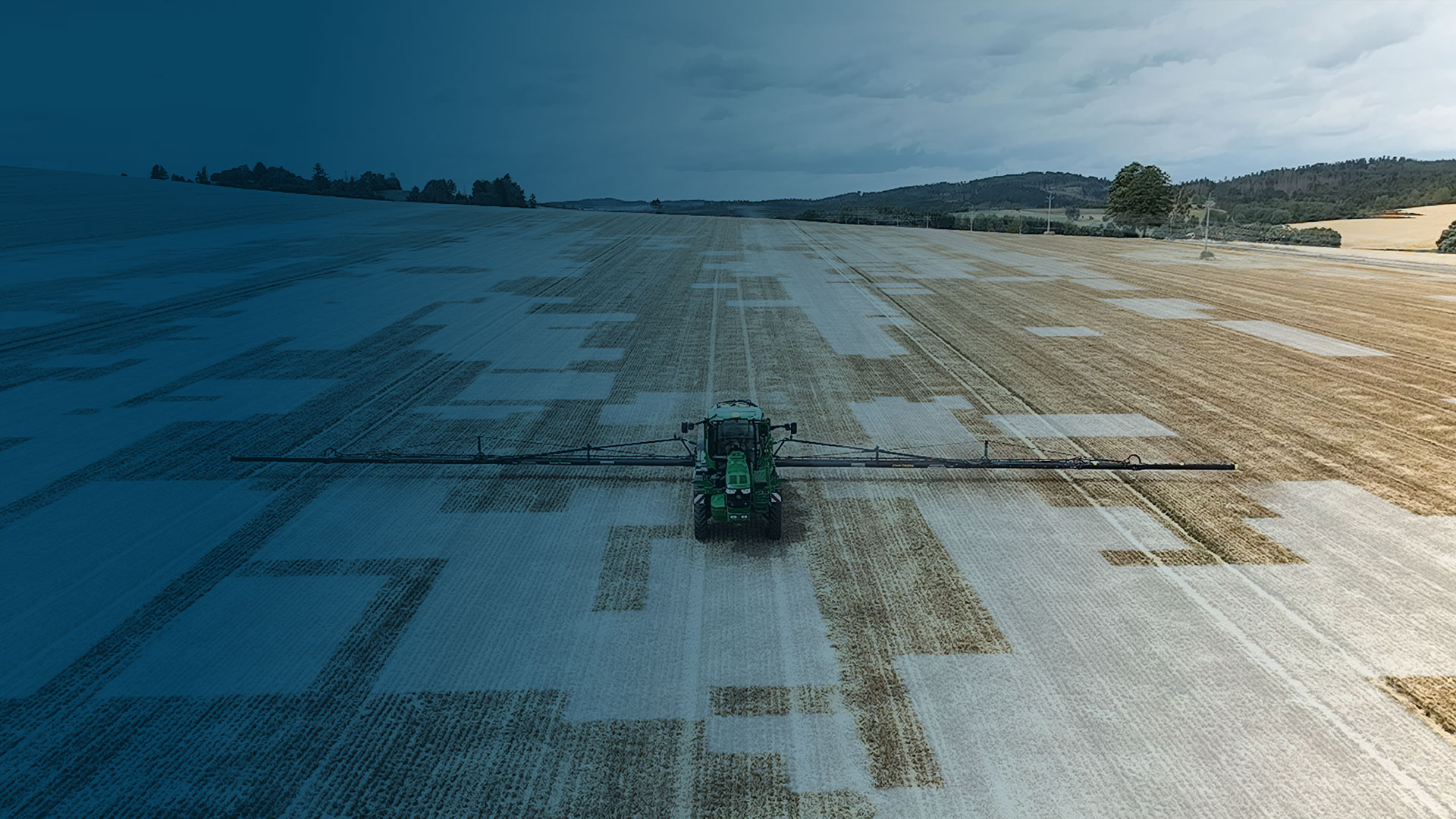
Ready-to-use & customizable variable rate and spot spraying maps for spray drones, tractors, and field sprayers.
ISOXML for standard ISOBUS machine terminals
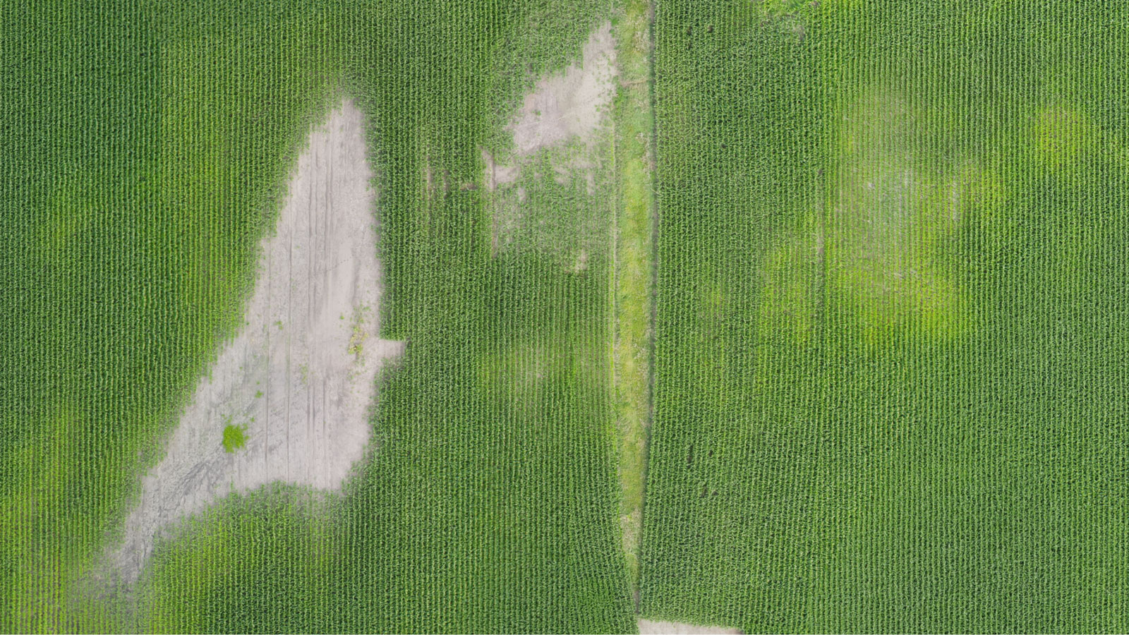
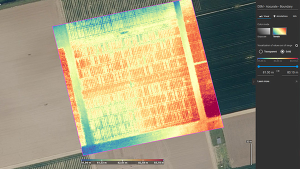
 Fast processing - Accurate processing
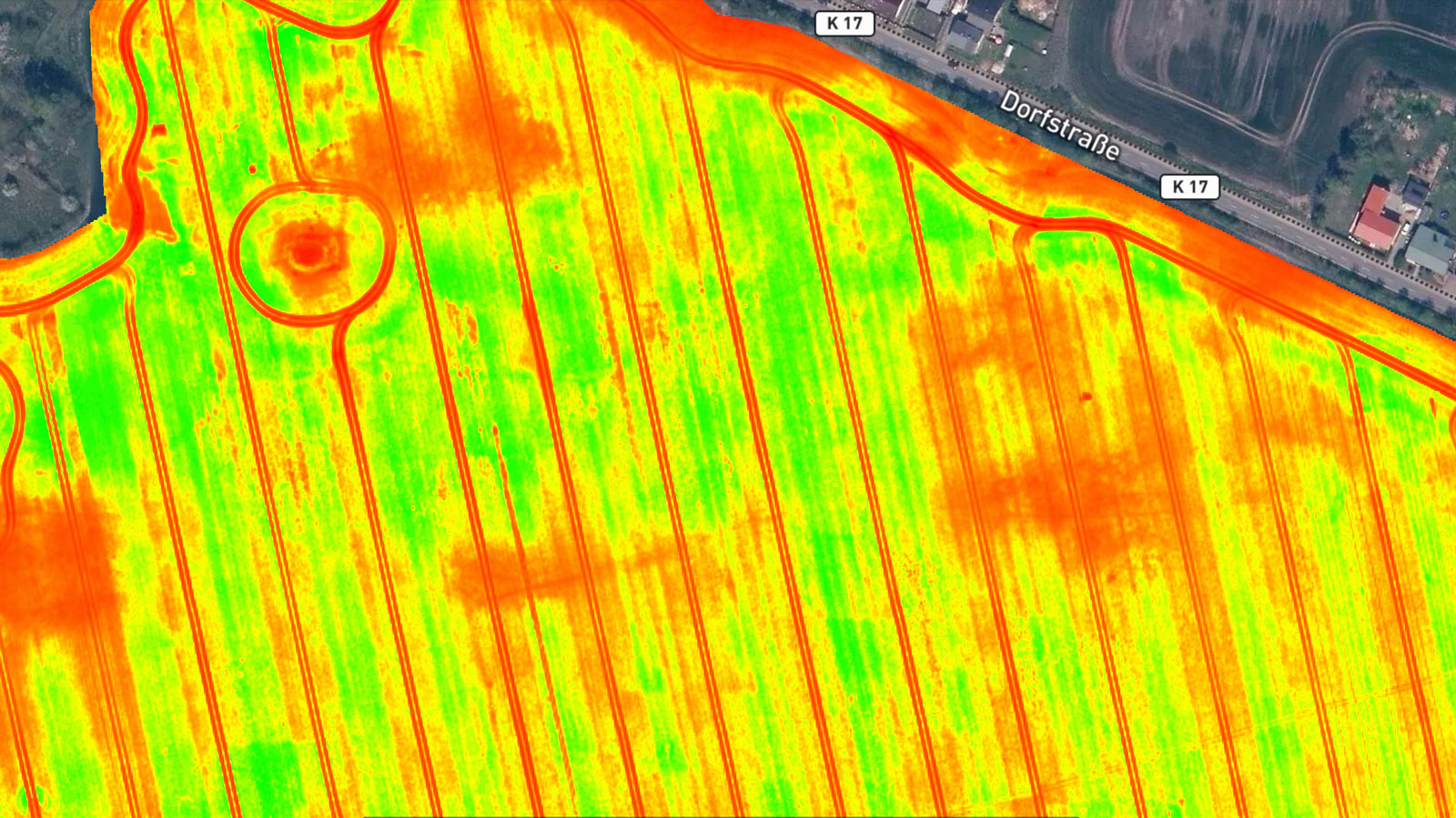
 Generate indices
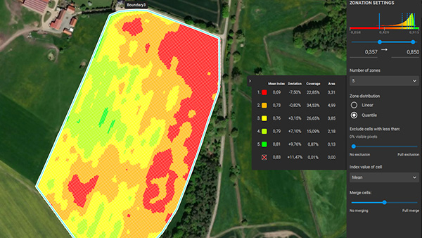
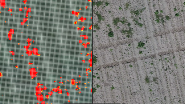
 Zonate and prescribe
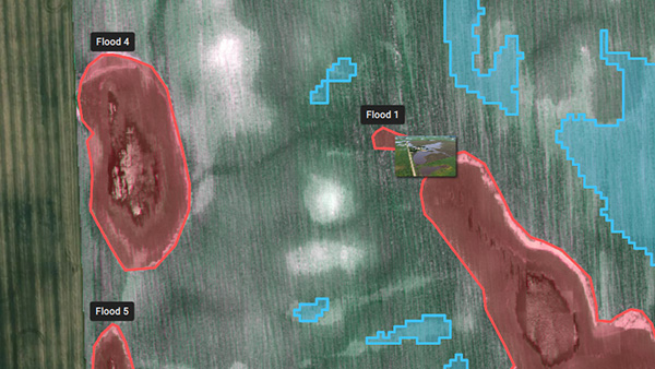
 Measure and Annotate
 Magic tool
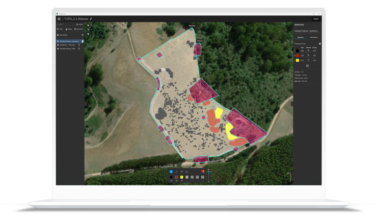
 Targeted Operations/Prescription maps
 John Deere Operations Center

“PIX4Dfields is simple to use and has a lot of possibilities for applications. It is constantly being updated with new, useful functionalities that bring additional value”
Digital Agro
“I was just amazed at the speed of the processing. I can work offline, so I can take pictures with the drone and process them on the spot. Another important point is that it can be used even on a PC with low specs.”
Northern Innovation
“PIX4Dfields is the easiest and the most practical software to create prescriptions based on the plant health maps. We use the software to execute variable rate applications, which we are the first ones to achieve in Turkey.”
Paksoy Technical Solutions
Create and analyze real time maps of your crops to enhance your agriculture workflow
Unlimited hectare mapping