
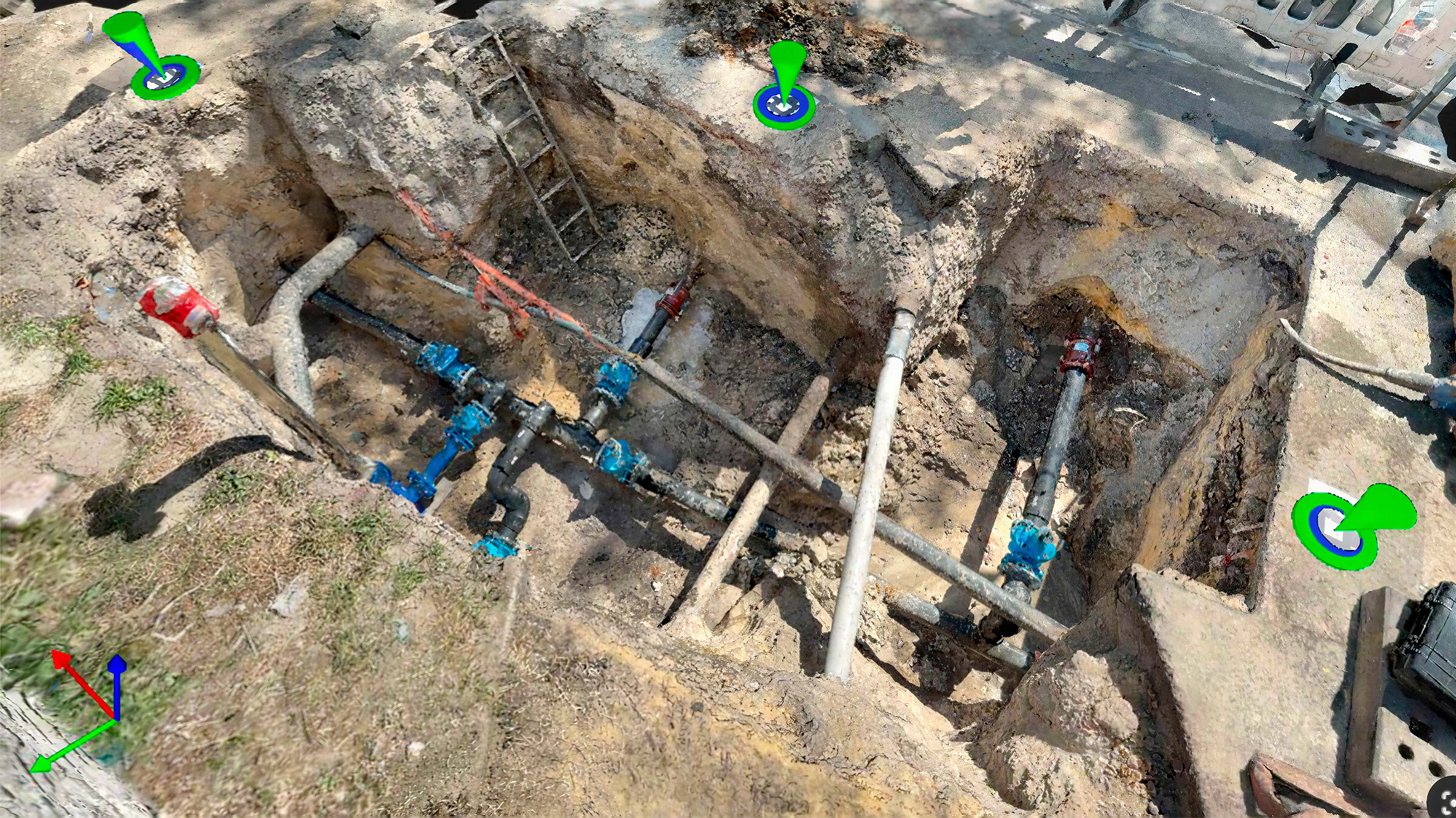
As-built trench survey with PIX4D & the Topcon CR-H1
Capture open trenches with PIX4Dcatch and automatically generate accurate, CAD-ready 3D models in PIX4Dmatic. Find out how.
Read more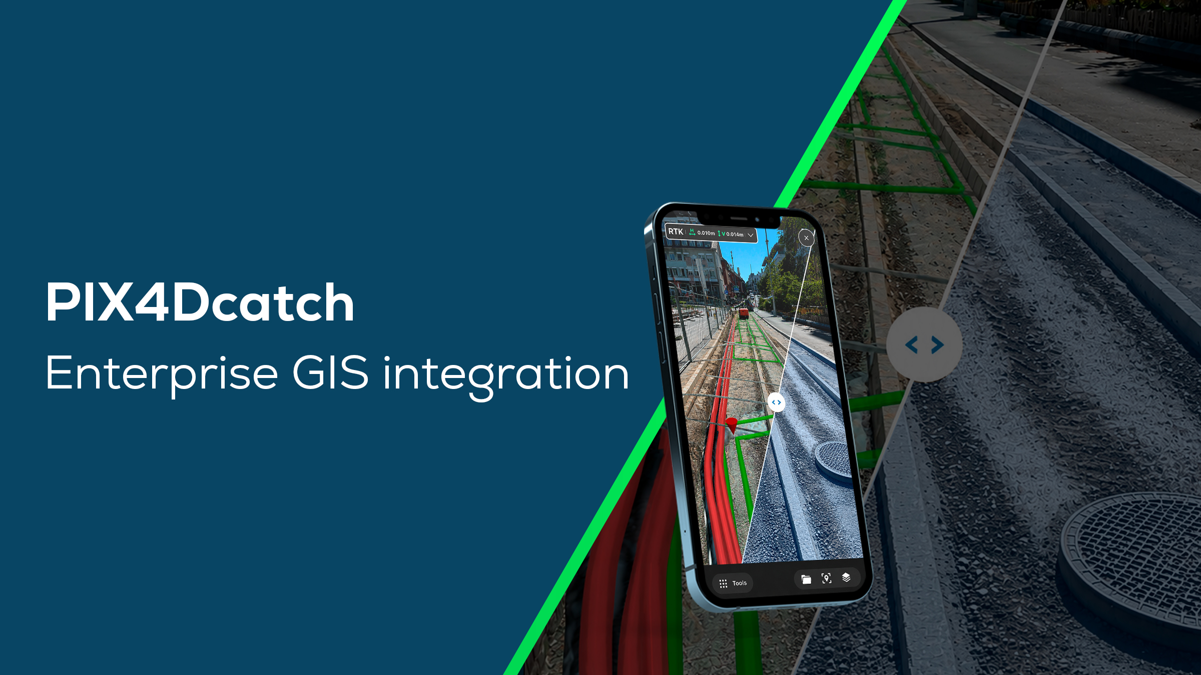
PIX4Dcatch: georeferenced 3D context for enterprise GIS
The new enterprise GIS integration brings efficiency and survey-grade accuracy to utility, infrastructure, and asset management workflows.
Read more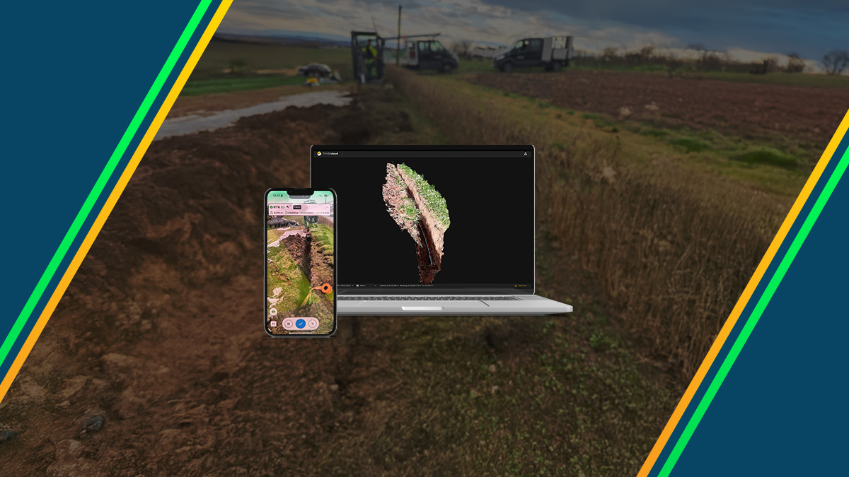
Digitizing telecommunications infrastructure with PIX4D
Learn how a telecommunications infrastructure partner replaced manual trench measurements with mobile RTK scanning, eliminating data gaps.
Read moreAs-built trench survey with PIX4D & the Topcon CR-H1
Capture open trenches with PIX4Dcatch and automatically generate accurate, CAD-ready 3D models in PIX4Dmatic. Find out how.
PIX4Dcatch: georeferenced 3D context for enterprise GIS
The new enterprise GIS integration brings efficiency and survey-grade accuracy to utility, infrastructure, and asset management workflows.
Digitizing telecommunications infrastructure with PIX4D
Learn how a telecommunications infrastructure partner replaced manual trench measurements with mobile RTK scanning, eliminating data gaps.
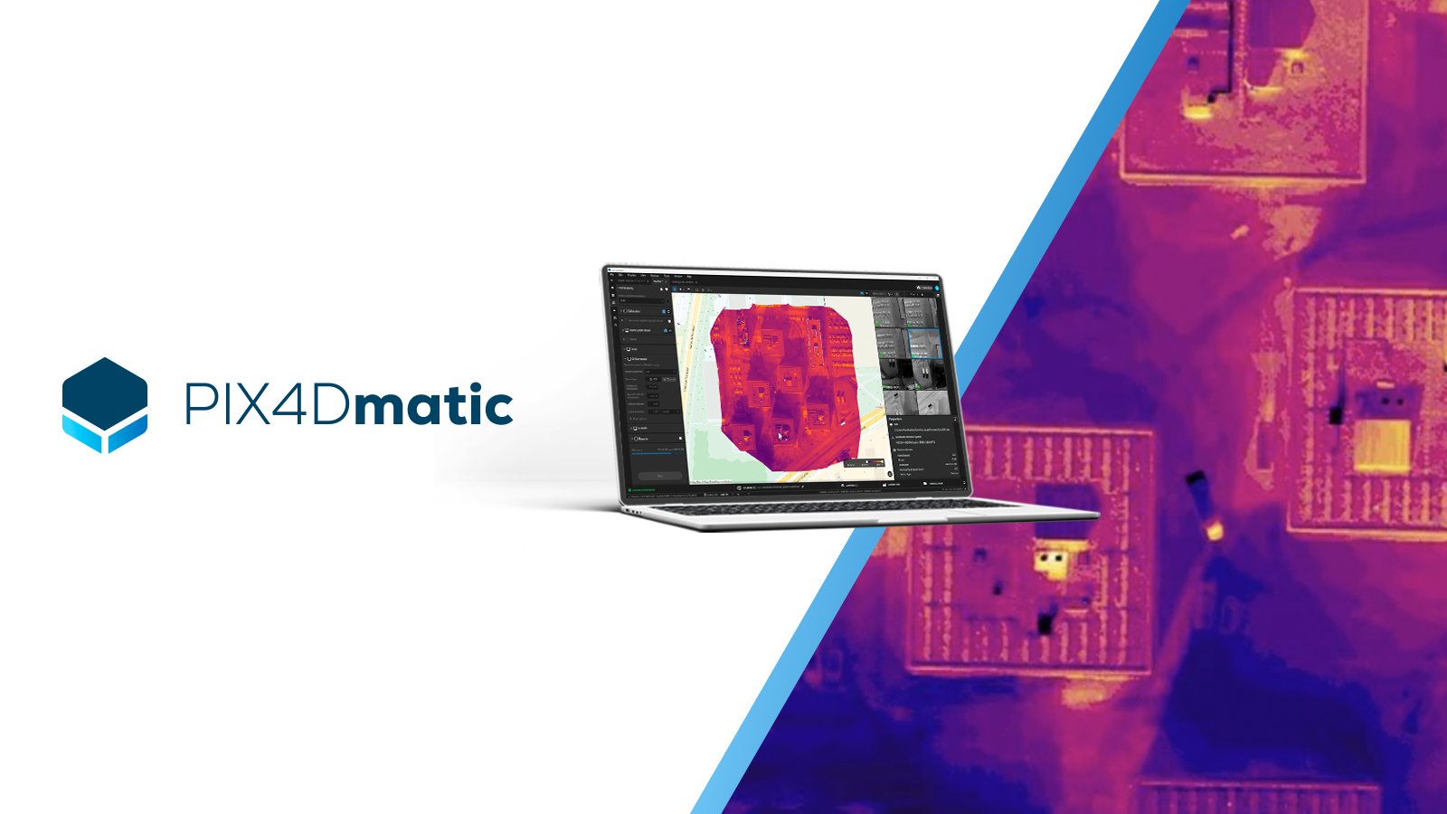
Thermal inspection is now in PIX4Dmatic
Thermal processing has come to PIX4Dmatic. Transform thermal datasets into measurable, georeferenced maps built for scale.
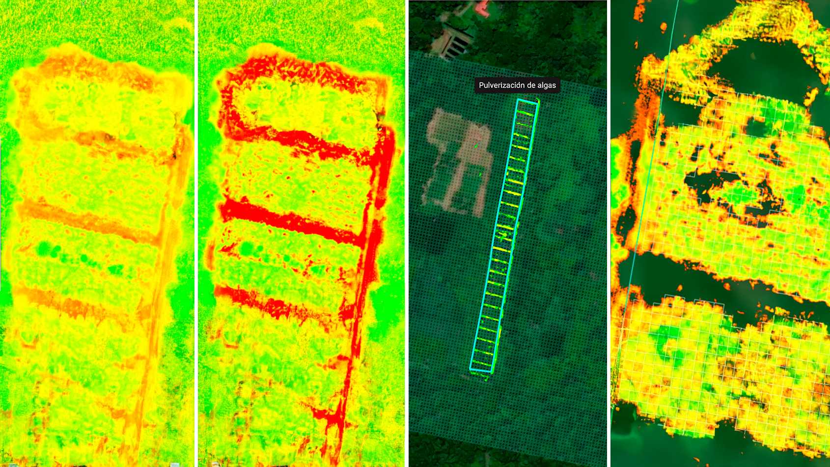
How to use prescription maps for sustainable coffee farming
See how university students use PIX4Dfields to map crop health and implement regenerative farming practices in coffee agroforestry.

Drone bridge inspection with PIX4D
See how drone mapping across 16 bridges with PIX4D cut bridge inspection times by 75% while eliminating safety risks!
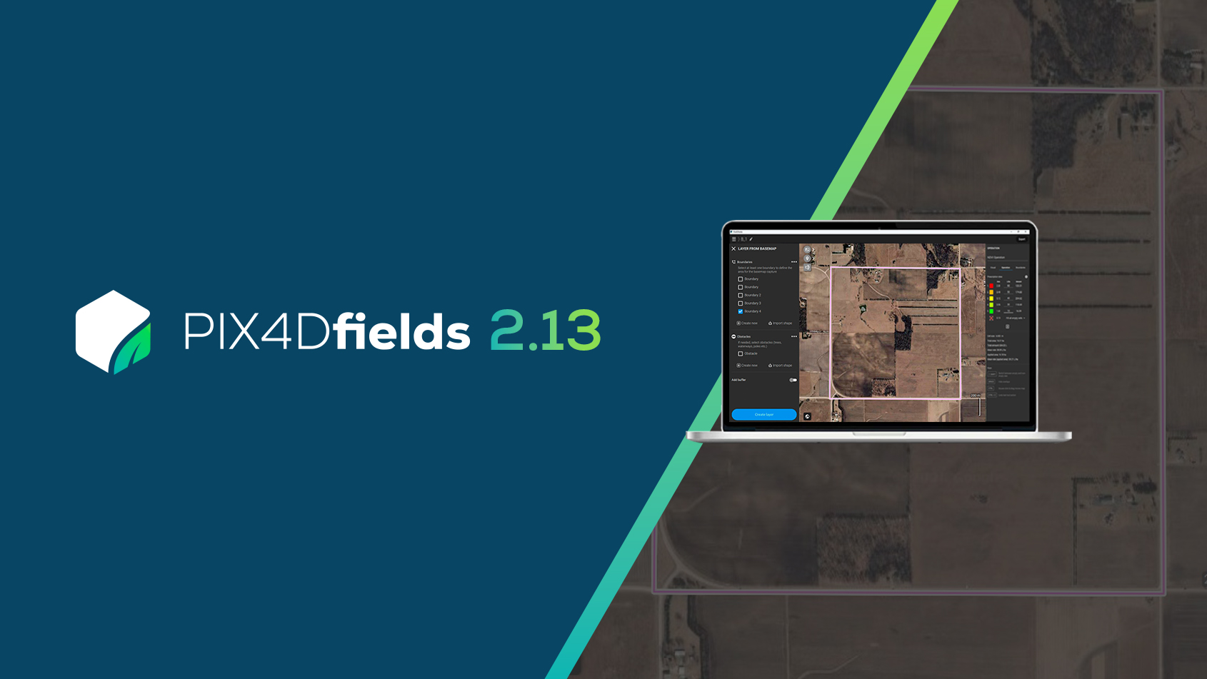
PIX4Dfields 2.13: Basemap layers, Hylio support & more!
PIX4Dfields 2.13 introduces basemap layers, layer trees, support for Hylio drones, expanded satellite data, and more!

Exhaust stack inspection with drones and PIX4Dcloud
Inspecting a 600-ft stack is completed in a fraction of the time. Georeferenced Gaussian splatting ensures a high-fidelity reconstruction.
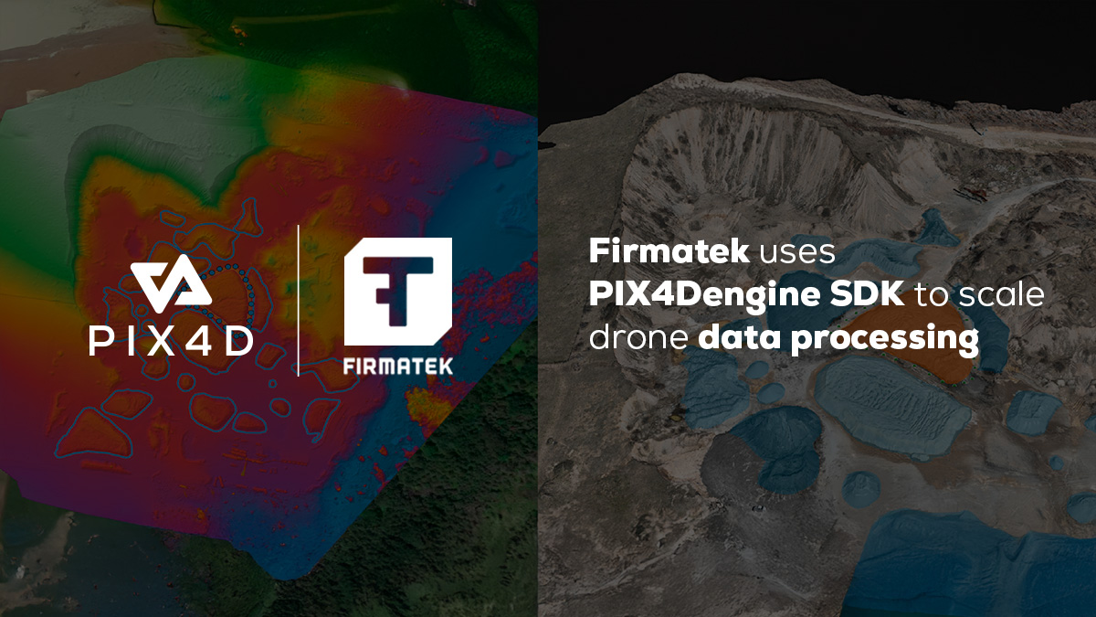
Firmatek uses PIX4Dengine SDK: 40% operations cost reduction
Firmatek integrates PIX4Dengine SDK into its pipeline, cutting operational costs by over 40% while scaling drone data processing.

Celebrating 15 years of PIX4D
We reflect on our journey from an academic pioneer to a global standard in how we measure, map, and understand the world around us.
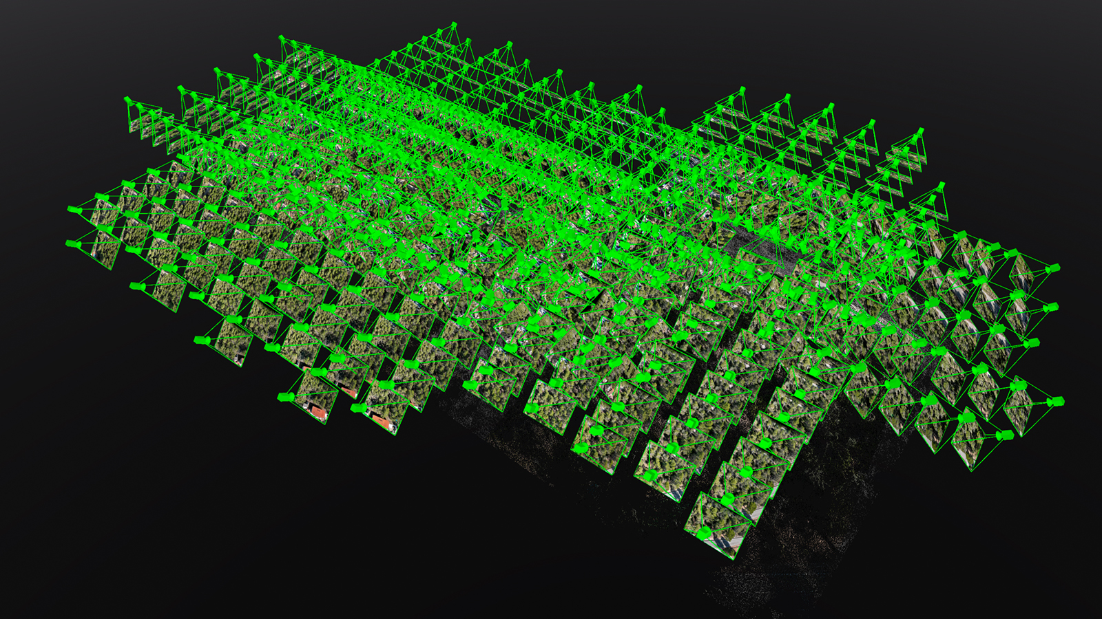
Drone mapping trees with PIX4Dmatic
Learn how to bypass GPS signal loss and low visibility. Use PIX4Dmatic and drone mapping to pinpoint tree trunks in thick vegetation.

PIX4D data security: ISO 27001 certified & SOC 2 compliance
Professional projects demand secure data. We ensure international compliance through enterprise-level data management & audited standards.