
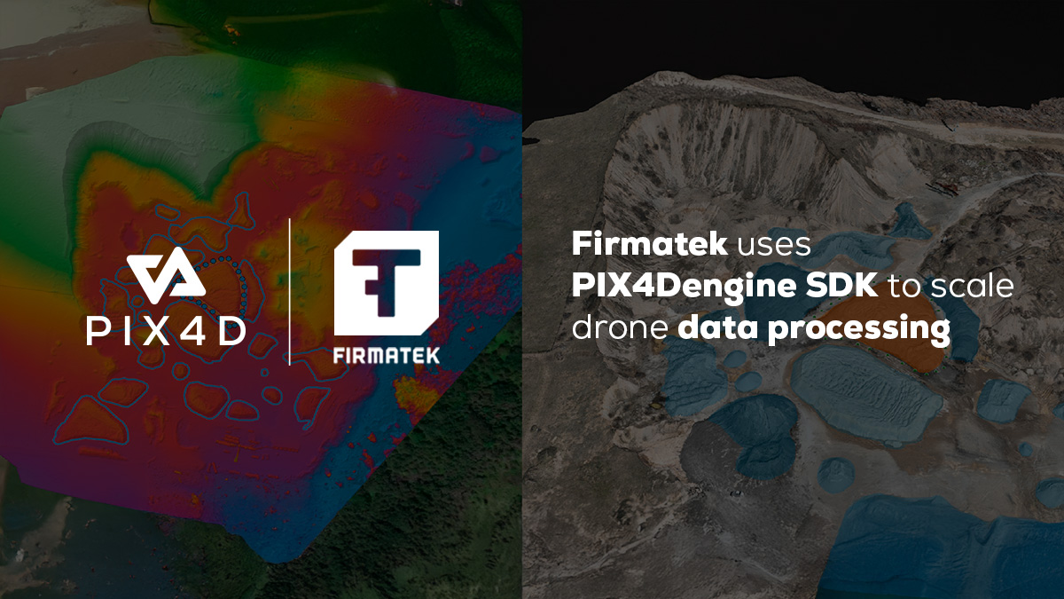
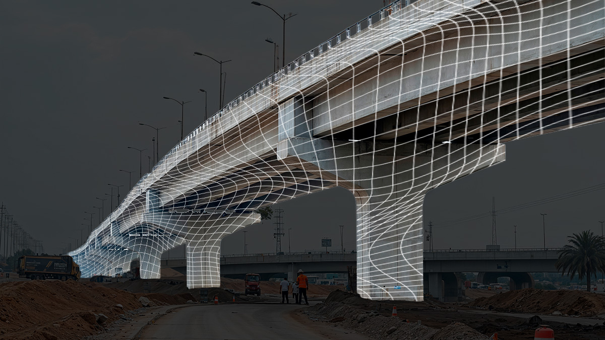
Firmatek uses PIX4Dengine SDK: 40% operations cost reduction
Firmatek integrates PIX4Dengine SDK into its pipeline, cutting operational costs by over 40% while scaling drone data processing.
Read more
Celebrating 15 years of PIX4D
We reflect on our journey from an academic pioneer to a global standard in how we measure, map, and understand the world around us.
Read more
Drone mapping trees with PIX4Dmatic
Learn how to bypass GPS signal loss and low visibility. Use PIX4Dmatic and drone mapping to pinpoint tree trunks in thick vegetation.
Read moreFirmatek uses PIX4Dengine SDK: 40% operations cost reduction
Firmatek integrates PIX4Dengine SDK into its pipeline, cutting operational costs by over 40% while scaling drone data processing.
Celebrating 15 years of PIX4D
We reflect on our journey from an academic pioneer to a global standard in how we measure, map, and understand the world around us.
Drone mapping trees with PIX4Dmatic
Learn how to bypass GPS signal loss and low visibility. Use PIX4Dmatic and drone mapping to pinpoint tree trunks in thick vegetation.

PIX4D data security: ISO 27001 certified & SOC 2 compliance
Professional projects demand secure data. We ensure international compliance through enterprise-level data management & audited standards.
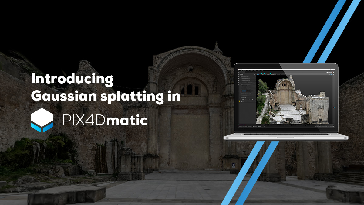
Closing the loop: Gaussian splatting comes to PIX4Dmatic
Gaussian splatting hits PIX4Dmatic, joining PIX4Dcatch and PIX4Dcloud, to offer a complete, high-fidelity, and georeferenced ecosystem.
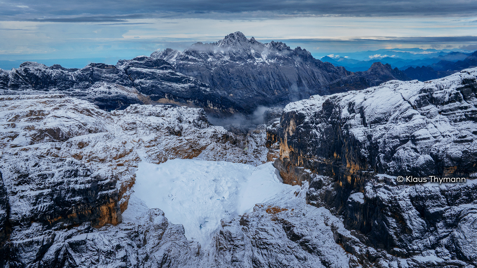
Mapping disappearing equatorial glaciers
An expedition to map and generate the first 3D model of the disappearing ice on Indonesia’s highest mountain.

Smartphone mapping vs. total station: report from a surveyor
Surveyor Rami Tamimi benchmarks the accuracy of PIX4Dcatch + LiDAR + the lightest GNSS rover Bad Elf Flex Mini, against a total station.

How to improve construction site safety with 3D modeling
After a pump station near-miss incident, PIX4Dcatch allows teams to virtually revisit the scene safely, creating a learning tool.

Maximize seed ROI: early stress-resilient variety selection
Choosing crop varieties is high-stakes. For Elvita, a science-led brand, finding stress-tolerant seeds is essential to their offering.
How does PIX4Dcatch achieve professional accuracy?
From hybrid LiDAR to Geofusion, explore the technology that sets PIX4Dcatch apart.

PIX4D & Sinclair College establish academic partnership
From construction to agriculture, students now gain direct access to professional mapping tools and certified training.

Saving $6,000 in one VRA application using satellite imagery
Remote zonation on 354 hectares was completed in 18 minutes, leading to a 20% reduction in input costs for the producer.