

Parrot Bluegrass Fields, the digital farming solution
The agriculture industry’s missing link
One thing has been missing from the current agriculture industry landscape: a complete end-to-end solution which delivers all the tools for digital agriculture in an efficient workflow.
Introducing: Parrot Bluegrass Fields
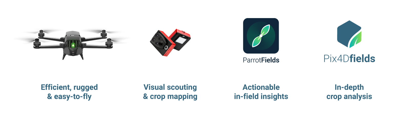
We have partnered with Parrot for a complete agricultural solution which incorporates the hardware required (the drone and the sensor) with Pix4Dfields software, but it takes it to the next level with the introduction of ParrotFields.
Jean-Thomas Celette, Chief Strategy & Product Officer for Parrot Business Solutions
Meet ParrotFields
What makes ParrotFields a game changer? The unique combination of features for quick and simple mapping and scouting.
By adding ParrotFields, a mobile app developed by the Pix4D team to simplify the entire in-field workflow, to the Parrot Bluegrass Fields bundle Pix4D and Parrot have created a unique end-to-end solution for digital agriculture.
ParrotFields combines flight planning, real-time mapping, enhanced ground scouting (with photos), video live-streaming and aerial scouting (with annotations - aerial scouting points for drones).
This hardware-mobile-software integration offers usability, repeatability of results, and will open the door to solving more real problems at scale in agricultural industry - for example how to improve efficiency of crop scouting.
Own the future of digital farming
Parrot Bluegrass Fields is available for purchase now via official Parrot Business Solutions resellers. ParrotFields is currently available only within the Parrot Bluegrass Fields solution.
Future development
Pix4D continues to focus on solving the agriculture industry's biggest challenges and will expand its product portfolio and introduce new exciting features. Pix4D is committed to constant development so in the future you can expect continuous updates in Pix4Dfields that will translate into better decision making catered for agriculture.


