
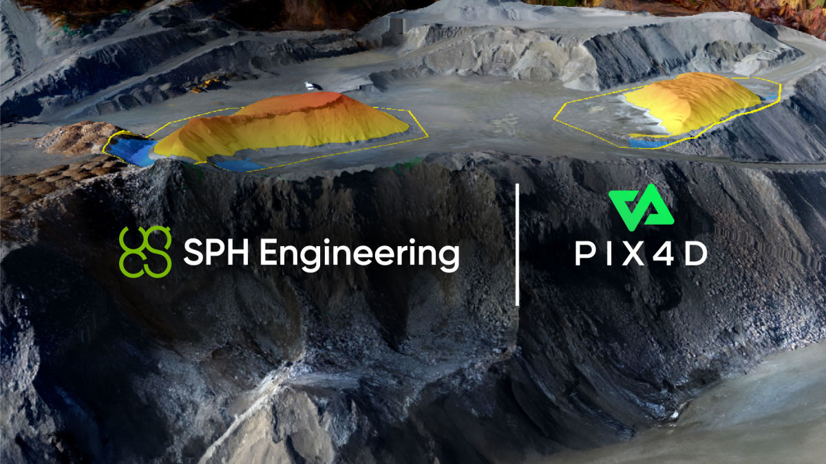
SPH & Pix4D reinvent spatial data management for enterprises
Pix4D and SPH Engineering have joined forces to develop a collaborative solution for spatial data management. Driven by their shared commitment to seamless spatial data management, the joint solution leverages the powerful DroneGIS (previously ATLAS) platform. This system is engineered to handle vast data storage, including images, orthophotos, DEMs, point clouds, 2D/3D designs, and annotations.
The solution
Significantly, the DroneGIS solution is integrated with the PIX4D Engine SDK for photogrammetric processing. This means that companies can now efficiently manage multiple photogrammetry tasks across a shared multi-user environment, allowing them to easily distribute results to both internal and external stakeholders. Moreover, the solution's modular design supports custom AI extensions for in-depth data analysis.
With a focus on flexibility, the partnership offers a solution that can be deployed on private cloud platforms such as Amazon AWS, Microsoft Azure, or Google Cloud. It is also compatible with physical hardware setups for those who prefer tangible infrastructure.
The solution’s white-label design not only aligns with a given company’s branding, but also offers a cost-effective alternative. This allows companies to avoid the daunting and expensive process of creating a custom data management platform from scratch. It also places a strong emphasis on data protection, ensuring that data boundaries are not breached by complying with company and country-specific regulations. Additionally, it guarantees that data remains within the corporate network.
About Pix4D and SPH Engineering
Pix4D is the market leader in photogrammetry software technology. Their products enable the digitization of reality and measurement of images taken from planes, drones, phones, or other cameras. PIX4Dengine is a fully customizable photogrammetry reconstruction engine, built for automation and integration into any enterprise system. Allowing companies to build the photogrammetry they need, streamline data management, and automate at scale.
SPH Engineering is an expert in drone technology development, focused on developing advanced solutions for uncrewed aerial vehicles (UAVs). Uncompromising data protection is at the forefront of this collaboration. For enterprises seeking the highest standards in spatial data management and photogrammetry processing, the SPH Engineering and Pix4D partnership provides a secure, versatile, and cost-effective solution to meet their needs.


