
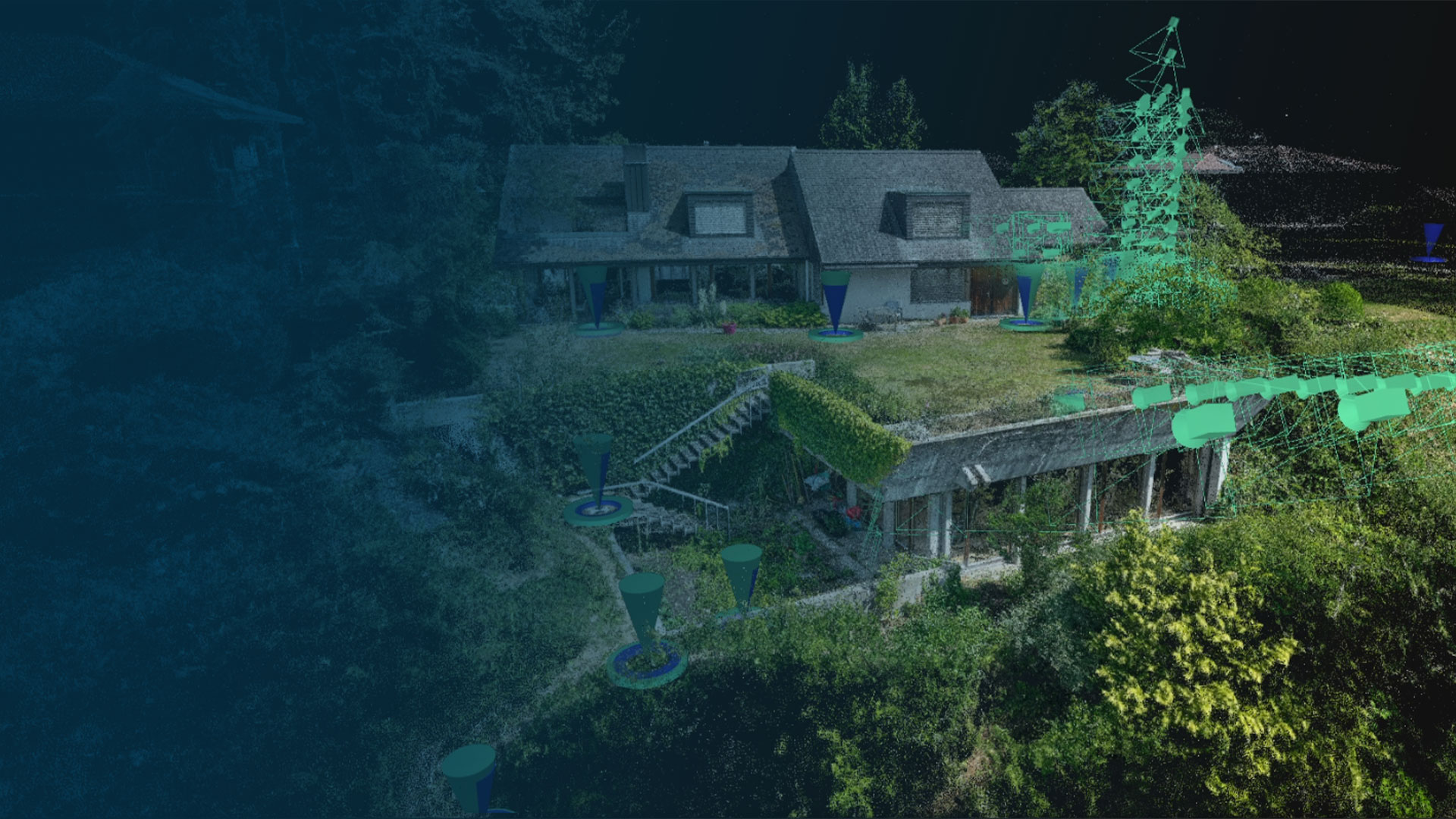

Fast, accurate, and efficient
Next-level photogrammetry software for professional drone and terrestrial mapping
Trusted by





What we offer
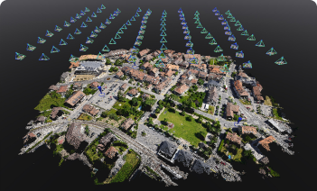
Bigger datasets, accurate results
PIX4Dmatic processes thousands of drone images while maintaining survey-grade accuracy, halving the processing time, without the trouble of splitting and merging.
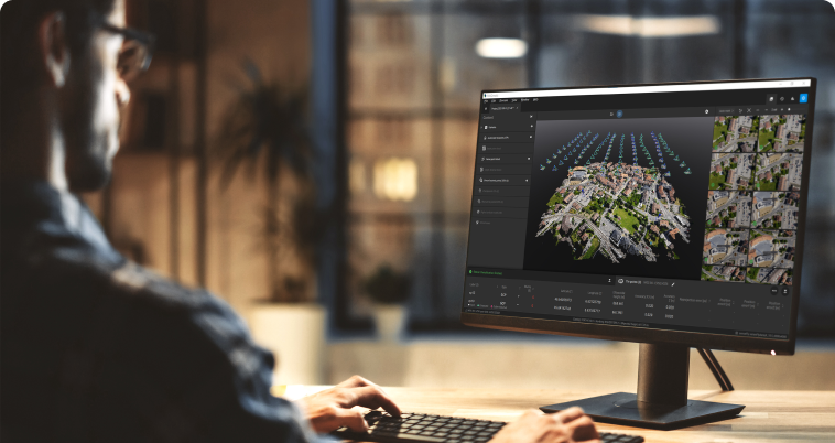
Fully automated processing
Developed in close collaboration with surveyors and mapping professionals to streamline your workflow: import, process, and assess the quality of a project in just a few clicks.
Terrestrial workflow
Get an accurate 3D model using your mobile phone with LiDAR, photogrammetry, and an RTK device.
Why choose us? A comparison with competitors
| PIX4Dmatic | Competitors |
|---|---|
| Merge terrestrial and aerial data seamlessly | Supports only post-process merging, which is time-consuming and lacks fine-tuning or advanced control |
| Efficient workflows for surveyors, construction, engineers, architects, and forensics | Workflows are either too generic or complex, requiring a steep learning curve |
| Swiss pioneer of photogrammetry with 13 years in the market | Less focused on photogrammetry innovation |
| Advanced tools for precise object selection and classification in point clouds | Too complex to use or no object selection tools available |
| Share projects to the cloud for free (with limits); no cloud license required for basic sharing | Cloud sharing not available or requires paid storage |
Learn more about the difference between Pix4D and DroneDeploy
If this form does not display correctly, please ensure that JavaScript is enabled in your browser settings and clean your browser's cookies. You can do this by navigating to your browser's settings, then proceed to reload the page.