
Flying solo: a one-man 115km long aerial highway survey
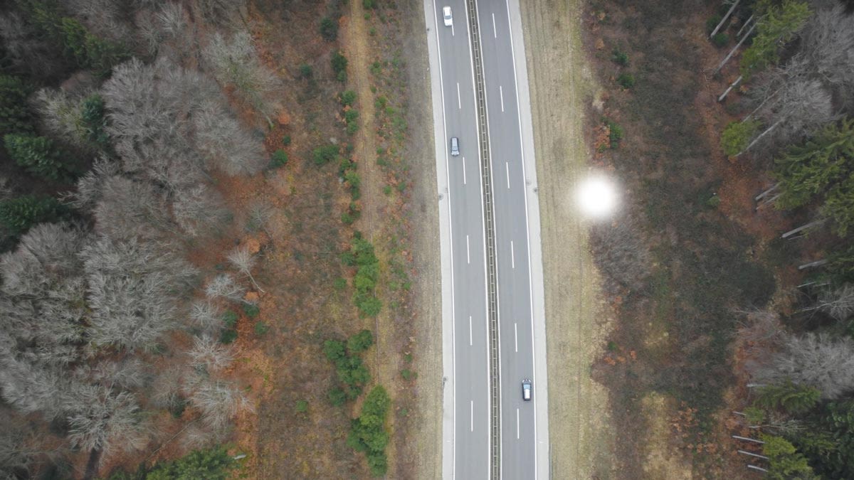
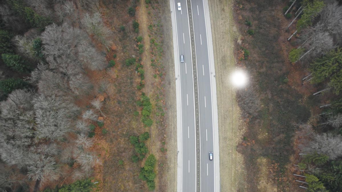
Over a hundred kilometers of highway wind between the Swiss cantons of Vaud, Fribourg and Jura. The fences which line the roads seem insignificant compared to the views, but knowing their location relative to the surrounding trees and forest is vital for splitting forestry management costs.
It’s not always clear who is responsible for the upkeep of the neighboring wooded areas - the Swiss Federal Roads Office (OFROU) or the local authorities (communes)?
The first step was to determine exactly where the fences were. The OFROU called on one person to map all 115 kilometers: Julien Lieb of Corvus Monitoring.
Project details
| Company | Corvus Monitoring |
| Client | OFROU |
| Project dates | Jan - April 2018 |
| Project size | 115 kilometers |
| GSD | 3cm/px |
| Software | Pix4Dmapper |
| Hardware | eBee - SODA |
| Outputs | Orthomosaics, 2D Shapefile, flythrough video |
Ready to launch
Corvus Monitoring is a small drone mapping company that works in France and Switzerland. Owner and operator Julien Lieb is a certified pilot and electrician, and a self-taught photogrammetrist. “Once I had my Pix4Dmapper license, I made 3D models of friend’s houses, and empty fields near my home. The Pix4D manual was my best friend!” Julien laughed. “I followed the Pix4D community, which is full of passionate do-it-yourselfers and learned a lot about photogrammetry and aerial surveys from them too.”
“Within six months of learning about photogrammetry, I quit my job and launched Corvus Monitoring!”
Flying solo
Time was of the essence as Spring approached, and the fences would soon be obscured by leaves.
As well as racing the seasons and closely watching the weather forecasts, Julien was limited to flying the area around Payerne airport only on some weekends, meaning that careful planning was essential.
The total 115 kilometer stretch was divided into subsections of three to five kilometers. Between 600 and 1,200 pictures were taken each flight with the eBee and SODA camera. To capture this long, narrow highway, Julien planned two parallel single flight lines with very high overlap: 90% longitudinal and 70% lateral.
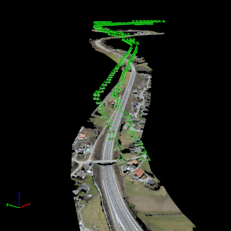
As the OFROU needed a perfect alignment with the map they use in their GIS, Julien placed around 15 control points for each sub-project. But they were not the usual ground control points which are measured on the ground: instead they were extracted from the Swisstopo (Federal Office of Topography) orthophoto, which has a resolution of 20cm.
Julien had to extract coordinates of points from notable features, such as poles and marks on the ground, and import them in Pix4Dmapper. This was one of the most tedious part of the project and took several days.
While Julien received occasional help from his trainees, the majority of the project was managed solo. “After all that work, I feel Pix4D is an extension of my brain! I could never use any other software.”
“Gigantic” benefits of an aerial survey: safer and twice as fast
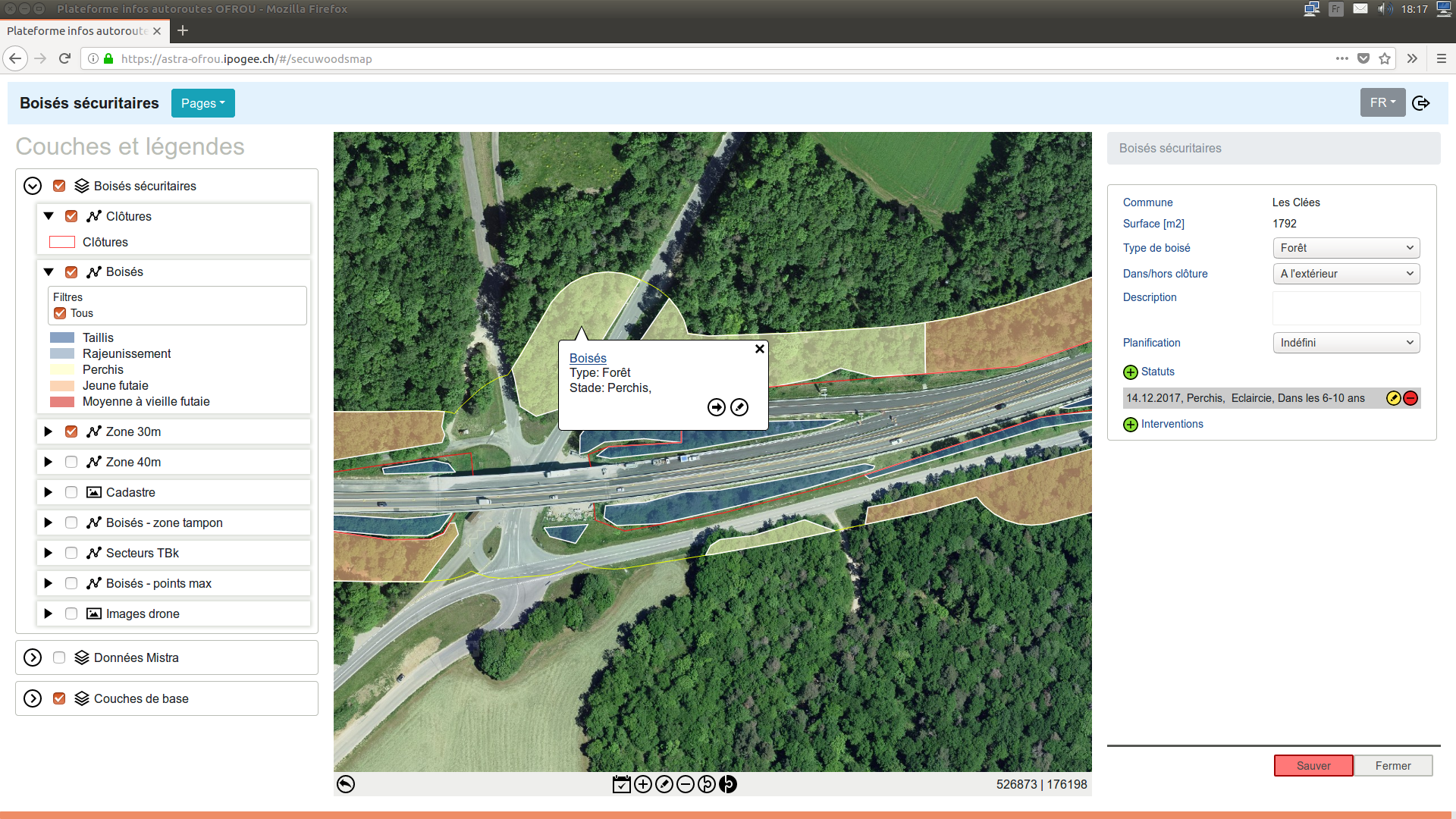
The OFROU required a 2D shapefile to be overlayed on top of the Swisstopo orthomosaic. To provide this final output, Julien merged sections of three to five kilometers into QGIS and manually digitized the fences.
To collaborate with all the stakeholders, from communes to the forest management companies, an online tool built by Ipogée, a Swiss WebGIS development company, showing the buffer area around the fences and useful metadata.
Combined with extra data, such as the tree species (obtained with an automatic detection algorithm developed by the Bern University of Applied Science), the OFROU can include a precise estimate of the expected cost for maintenance in their planning.
As well as creating orthomosaics, Julien created a flythrough video of more than 25 kilometers of highway to showcase the quality of his work. “This required me to merge six subprojects at once in Pix4Dmapper.”
In the past to get these results, OFROU would have called on a surveyor, to manually take measurements along the roadway. By flying above the field, the process was safer.
Julien believes that: “The benefits of flying a drone compared to a ground survey is absolutely gigantic. I surveyed 115 kilometers - that’s 230 kilometers of fence - in just a bit more than two months. On foot, an athletic and organized surveyor could cover only around two kilometers of fence a day, as it is often surrounded by dense vegetation. Plus, the only output would have been the shapefile, while thanks to Pix4D I was able to deliver not only that but orthomosaics and point clouds which can be used for dozens of other projects.”


