Explore a 3D model of an active volcano
Most drone mapping projects have benefits beyond the finished orthomosaic: even if it’s only getting out of the office for an afternoon.
The model of Whakaari / White Island Wild Atlas and New Zealand Geographic created in early 2019 was intended to help the volcano’s owner investigate the repair of an old track. But the completed model had benefits to the scientific community and to the New Zealand public as a whole.
Some six months after the model was completed, a deadly eruption closed Whakaari to the public - possibly for good.
The model is now the only way to explore Whakaari.
Take a trip to Whakaari / White Island
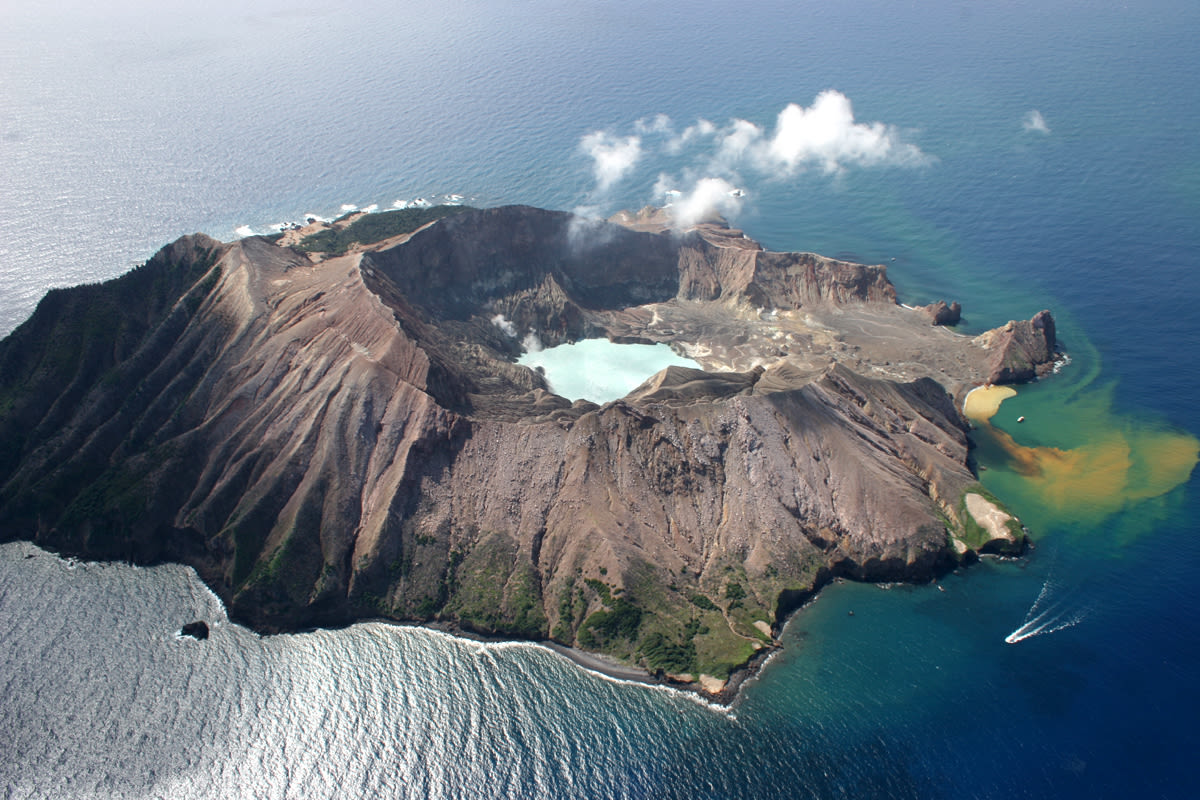
Whakaari is New Zealand’s most active volcano. Some 50 kilometers of rough seas away from the mainland of New Zealand’s North Island, the volcano can be approached by water or by helicopter.
The privately owned island was a popular tourist attraction before an eruption in 2019 claimed 21 lives.
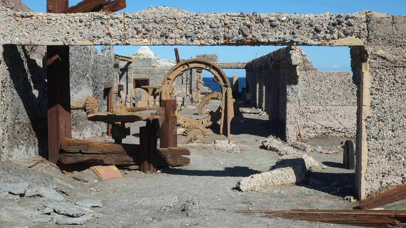
Whakaari has been uninhabited since the 1930s, when the last sulfur miners decamped. The remains of the sulfur mining camp were one of the island’s attractions, along with the gannet colony and crater lake.
Like many places in New Zealand, Whakaari / White Island has a dual Māori/English name. The full Māori name for the island is te puia whakaari, which can be translated as “The Dramatic Volcano.” The origins of the English name are less clear, but “White Island” said to refer to either the volcanic plume - or the guano covering the island’s shores.
A unique landscape
“Whakaari’s pretty indescribable - it’s almost like you’re on a different planet,” says Arie Spyksma, Wild Atlas’ “Founder and Flyer.”
The team landed on the volcano to collect virtual reality footage for New Zealand Geographic, and perform a preliminary survey for the island’s owners. “An old miner’s track crosses part of the face of the volcano,” explains Spyksma. “The owners were interested in recreating the track for tourists and wanted to locate it on a model, so the engineers could get an understanding of the terrain.”
Project details: Mapping a volcano
| Team | Wild Atlas New Zealand Geographic |
| Location | Whakaari / White Island, New Zealand |
| Hardware | DJI Mavic Pro 2 |
| Software | Pix4Dmapper |
| Area | 325 hectares |
| Elevation | Sea level - 400 meters |
| Flights | 12 |
| Images captured | 900 |
| GSD | 10cm |
| Outpoints | Point cloud, 3D model, Orthomosaic |
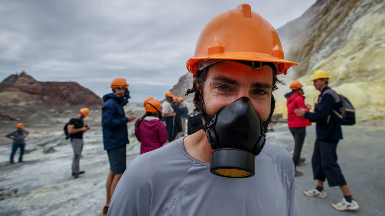
Mapping an active volcano included all the challenges of any drone survey, and more. “The volcanic plume is pretty caustic,” says Spyksma. “As we were being shown around the island, we were warned that three or four drones had flown into the crater and the smoke had just completely done them over - the plume is really acidic and has been known to ‘eat’ drones!”
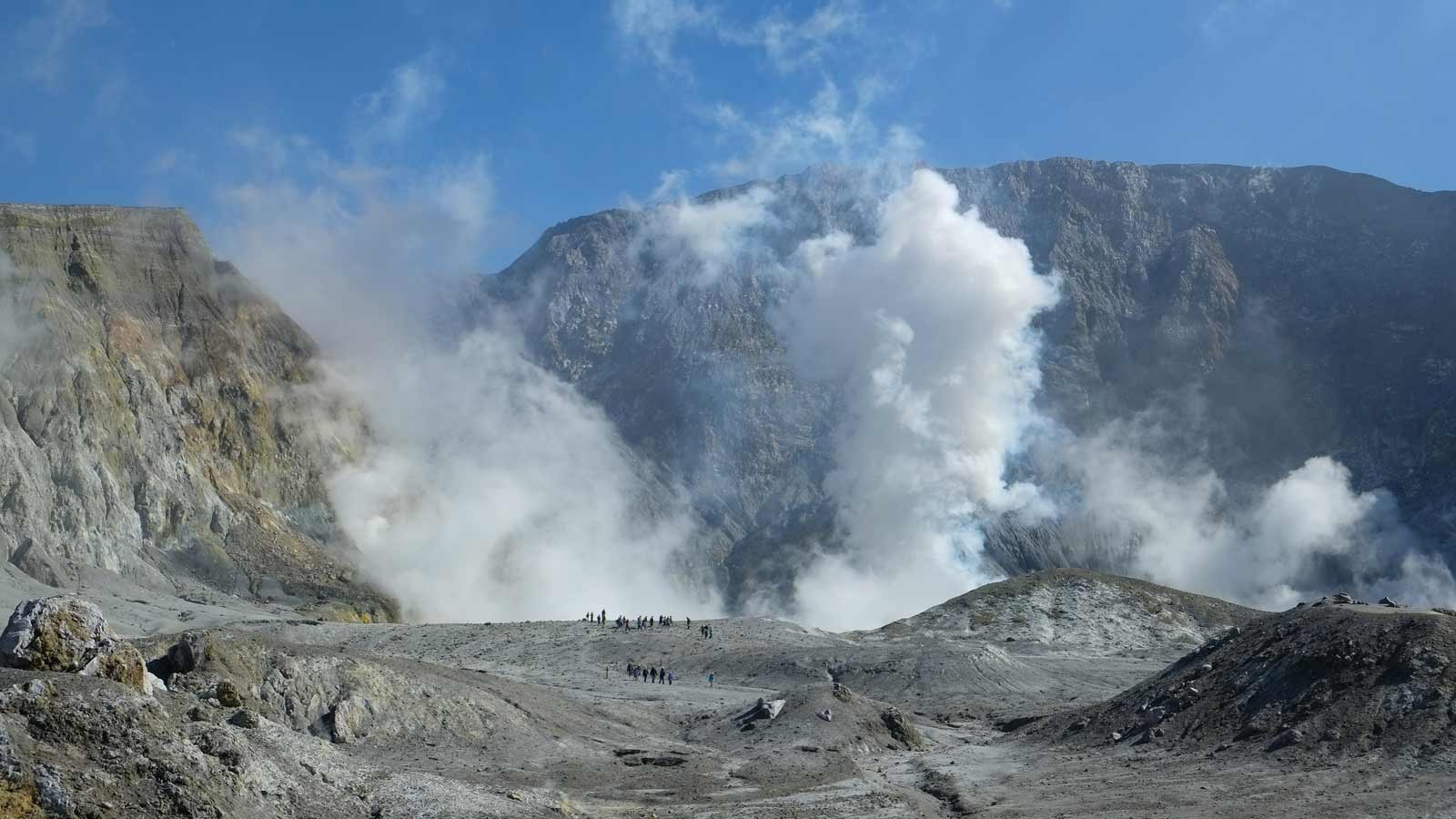
Mindful of the volcanic plume, the team launched their DJI Mavic 2 Pro. The drone was chosen for its compact size, which can be easily packed in and out of remote areas. “And the image quality is pretty exceptional for what it is,” says Spyksma.
The team’s Director of Photography Richard Robinson flew a second drone, a DJI Matrice carrying a 360-VR camera, to capture the volcano for NZGeo’s virtual reality experience.
Mapping was completed in 12 flights over three days, all from a boat at sea which allowed access around the 380-hectare volcano, and either side of the acidic volcanic plume. “The plume meant that periodically parts of the volcano were obscured,” explained Spyksma. “So we had to map one area, wait half a day for the wind to change, move round to the other side of the island, and capture that while the plume wasn’t over it. There was quite a lot of moving back-and-forward, just trying to capture every bit while it was visible and avoiding getting smoke on the drone as much as possible.”
To capture the island’s elevation, the team flew as high as 400 meters above sea level. Flexibility, mobility at sea and good flight-planning were required to ensure line of sight and an appropriate height above ground level were maintained throughout. Before take off each day, they liaised with local helicopter operators — something necessary under New Zealand’s drone legislation and a requirement of flying around this area famous for tourist flights.
Accurate results with limited ground control points
The surveying mission was a last-minute addition to the team’s plan to capture a 3D model volcano, but it was a natural extension of the project. Wild Atlas’ portfolio includes a mix of ecological projects, including wetland and vegetation mapping with photogrammetry, and the sort of early-surveying work completed on Whakaari. “My background is science and I really like the idea of getting data from imagery,” says Spyksma. “Obviously photogrammetry is the perfect tool for that.”
Because the surveying was a mission extension, and not a core part of the project, the team didn’t carry surveying equipment with them. Luckily, there were two permanent ground control points already on the island, left after a government survey of the island.
The team found that combined with manual tie points, just two ground control points were sufficient to achieve a great result.
> Related: independent tests show you may need fewer ground control points than you think
“We achieved a ground sampling distance of around 10cm,” says Spyksma. “Even though we were flying super high, the model is super high in detail.”
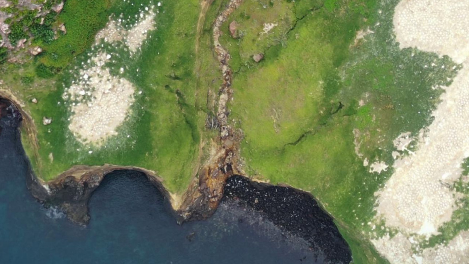
Spyksma points to two sections: the gannet colony and pohutukawa forest. The gannet colony is recognised as an Important Bird Area (IBA), and individual birds can be picked out on the orthomosaic. The orthomosaic was also shared with researchers from Waikato University, who have been monitoring the forest’s growth in the wake of the eruption, and were happy to have a snapshot of the forest before the event.
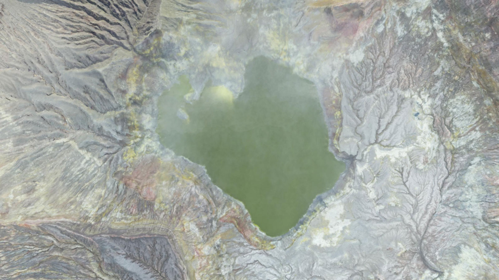
One part which was less easy to reconstruct was the crater lake. “It came out a bit lumpy, and the water didn’t reconstruct that well - but better than expected,” says Spyksma. “I think it’s because we were flying so high, there were relatively few images which were only water.”
The team smoothed over the results by editing the point cloud to remove any obvious spikes caused by the reconstruction. The repair is barely visible on the finished model.
A model to remember
The 3D model of Whakaari is valuable not just to the island’s owners, but to New Zealand as a whole. The work may take its place in the pantheon of New Zealand art history and the country’s collective memory alongside Charles Blomfield’s enduring paintings of the Pink and White Terraces, a unique geographic feature which was destroyed by volcanic eruption in 1884.
Showcased on New Zealand Geographic along with other VR experiences, visitors to the website can explore New Zealand from the comfort of their own homes.
“The model obviously has a lot of relevance now, and also is being used for scientific and engineering applications,” says Spyksma. “It was a pretty amazing opportunity to get to explore the island, not just for the filming we were doing, but to have the chance to create something special.”