

Webinars y libros electrónicos
Los entresijos de la cartografía terrestre y con drones
Descubra nuestra colección de recursos
Decubra más contenido aquí, en inglés.
PIX4Dmatic: Flujos de trabajo optimizados en PIX4Dmatic
PIX4Dmatic es el software de fotogrametría de nueva generación, creado para manejar proyectos de gran escala con la máxima precisión y fiabilidad. En este webinar descubrirás cómo aprovechar sus funcionalidades clave para optimizar tus flujos de trabajo, tanto en campo como en oficina.
Fecha de transmisión: Octubre 2025
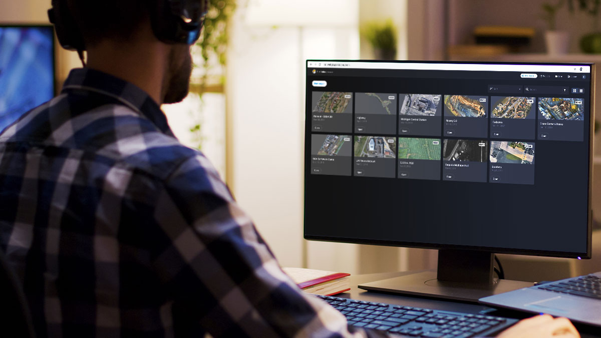
PIX4Dcloud: Procesa, analiza y comparte proyectos en la nube
Plataforma en línea para el mapeo con drones, la supervisión de progreso y la documentación de sitios.
Fecha de transmisión: Octubre 2020
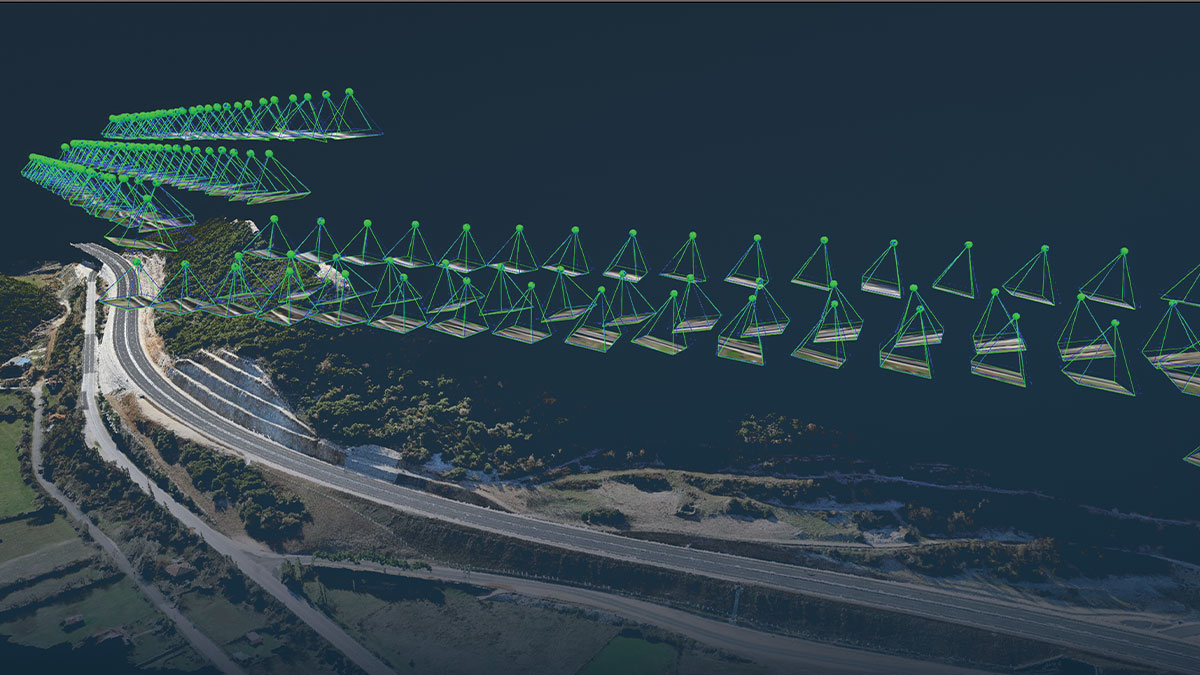
PIX4Dmapper 4.5: la versión más eficaz y eficiente de PIX4Dmapper
Pix4D siempre ha desarrollado un software de fotogrametría respaldado científicamente. Nuestra fuerza siempre ha sido nuestra precisión, y la velocidad acaba de aumentar.
Fecha de transmisión: Julio 2020
If you have suggestions on webinar topics you would like to see, we’re all ears! Send us an email, we would love to hear from you!