WEBINAR
The future of single point measurement with 3D scanning
About the webinar
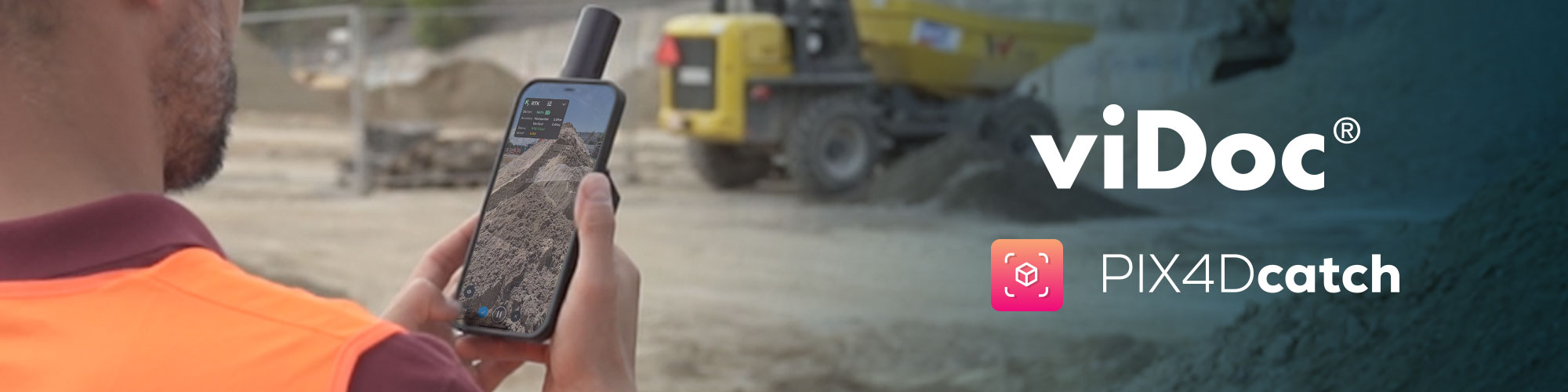
Join Michino Hisabayashi from Pix4D, Kenneth Pan from Easepect, and their special guests to learn all about their experiences with using the viDoc RTK rover and PIX4Dcatch in Singapore.
Guests include Tan Hua Seng Jimmy from the Singapore Land Authority, who shares his views about the different types of positioning systems available, as well as why Singapore chooses Precise GNSS and how it was set up to ensure the accuracy of the measurement. He also talks about the use cases of this workflow and how PIX4Dcatch and viDoc usage can connect to the Precise GNSS system.
The second guest is Shane Shi from HSC, who breaks down why PIX4Dcatch and the viDoc RTK rover proved to be the most cost effective 3D scanning solution for their geolocated underground utility mapping. Shane analyzes it in terms of cost, ease of operation, time it takes to capture and process the data, and the smooth georeferencing workflow.
Topics discussed:
- Introduction to the viDoc RTK Rover and PIX4Dcatch by Pix4D
- Presentation by Singapore Land Authority (SLA) on precise GNSS with SLA’s Singapore Satellite Positioning Reference Network (SiReNT)
- Presentation by HSC Pipeline Engineering on their experience and pro tips on using the viDoc RTK Rover and PIX4Dcatch
- Q&A
Panelists:

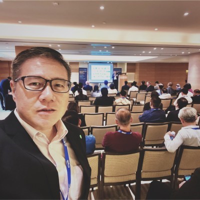
Business Development Executive
Pix4D