
Introduction to multispectral image analysis with Pix4Dfields in Indonesia
Learn more about the multispectral image analysis using Pix4Dfields specific to Indonesia.
Learn more about smart farming
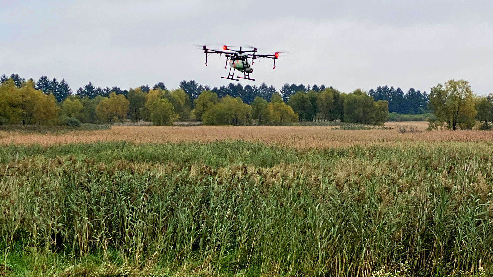
How to use spray drones with Pix4Dfields
Read more about how to target and spot spray invasive weeds, while saving money and protecting the environment.
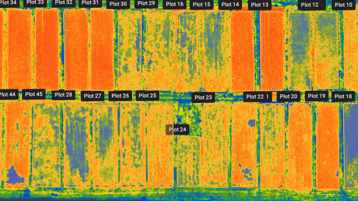
Pix4Dfields 1.9: Introducing trial plot management
Pix4Dfields 1.9 brings you new tools and features for trial plot management, including statistics, CSV export, geotagged images, and more.

Drone mapping for high value crops and viticulture
Three different projects discuss how drone mapping informs farmers about their crops and helps them make right decisions.