
Agriculture drone mapping and analytics
Discover the benefits that come from using drones and precision agricultural techniques
Learn more about smart farming
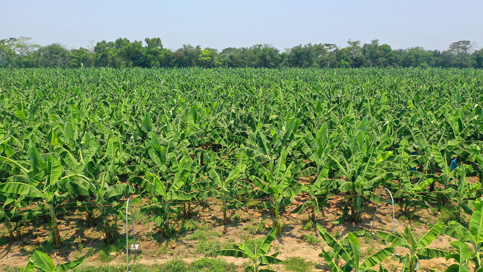
Increasing productivity with precision agriculture
Learn how a Mexican drone company helped a local banana farm increase their productivity by 30% using precision agriculture techniques.
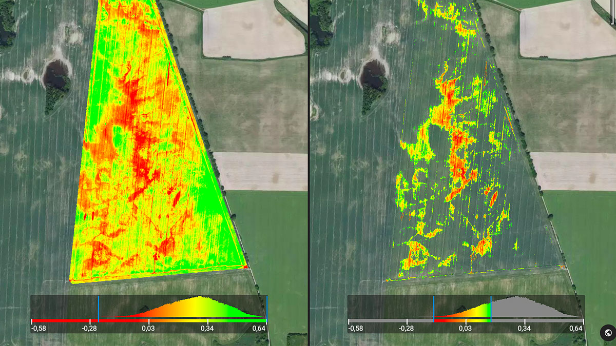
Pix4Dfields 1.8: Introducing advanced layer visualization
With Pix4Dfields 1.8 you can focus only on the data that is important to you, including histogram equalization, dynamic range, and more display and color modes.
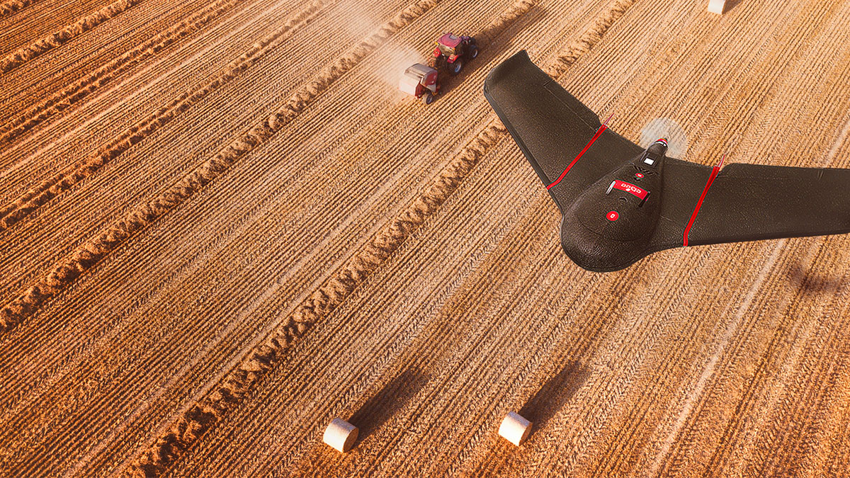
Interview with senseFly: crop data to farm insights
Pix4D and senseFly sat down to discuss the importance of drone mapping and in-fields fast processing in digital agriculture, and what the future holds.