Reconstruct reality from images with
the leading photogrammetry software
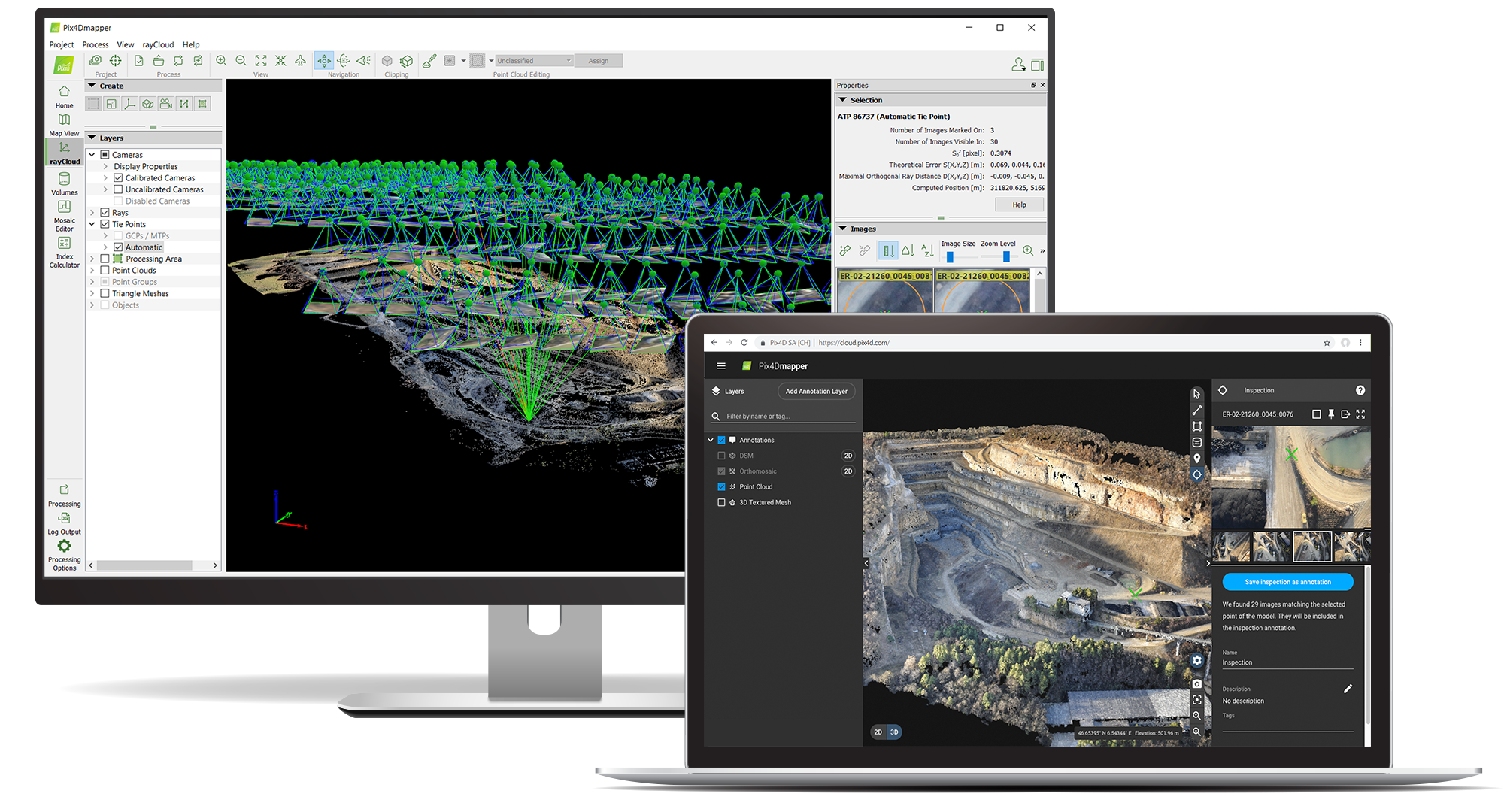
One tool for every workflow

Your project, your camera
Use images or video from any camera or drone. Import .jpg, .tif, .avi or .mp4 files.

Survey-grade results
Turn aerial data into the map you need with sub-centimeter accuracy.

Complete control
Use our default templates or create your own with custom settings.
The end-to-end photogrammetry tool that you need
PIX4Dmapper works with you
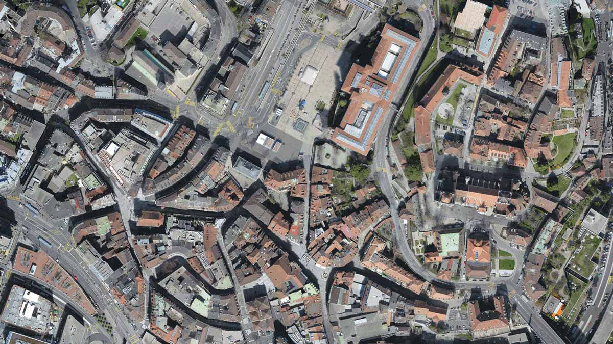
Create accurate maps
High resolution DSMs and orthomosaics with sub-centimetre accuracy.
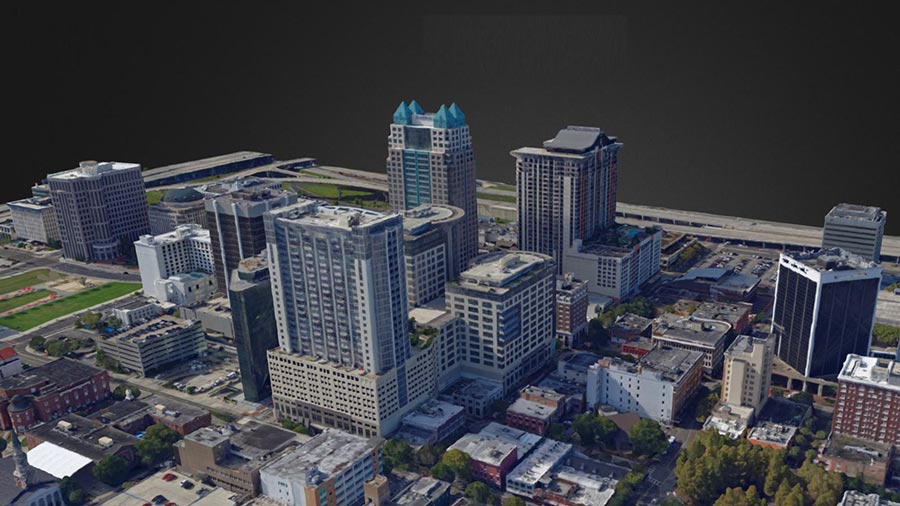
Build 3D models
Full 3D mesh models and videos, compatible with VR and animation software.
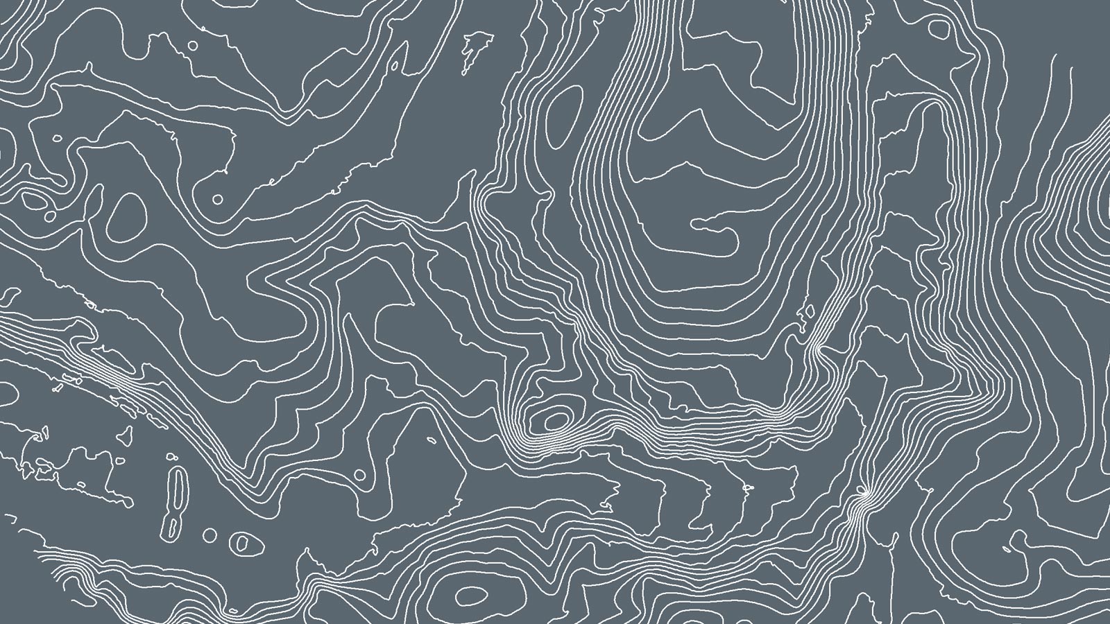
Export contour lines
Explore elevation differences within your map and generate customizable contour lines.
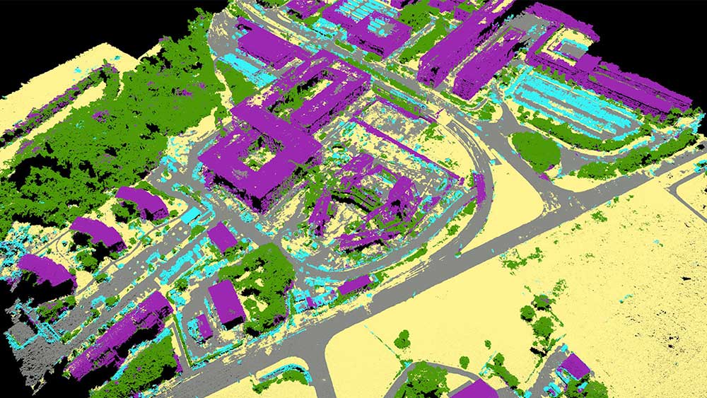
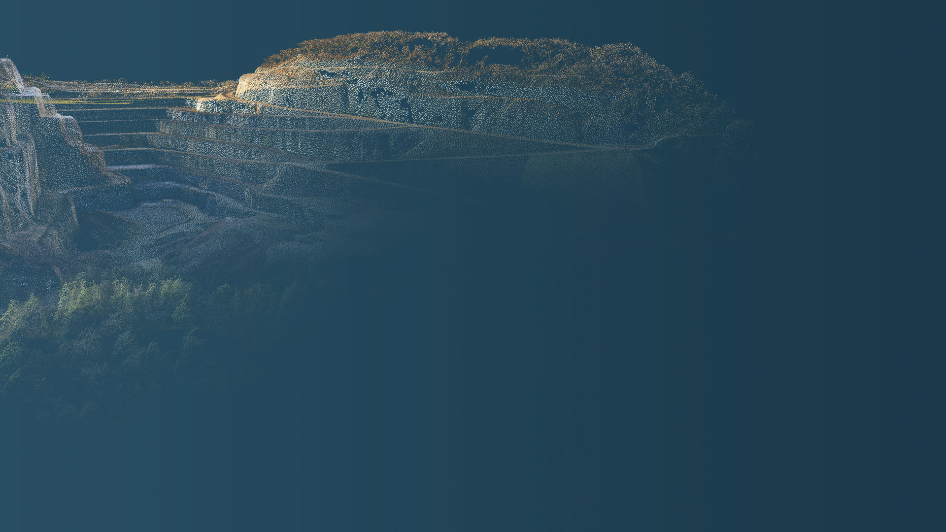
Generate point clouds
Color and classified 3D point clouds using advanced machine learning techniques.
“Large site surveying can be very long with manual labour, but working with drones makes data collection quick, and PIX4Dmapper gave us the accurate, quality results that our clients needed.”

“PIX4Dmapper provides us with a powerful, reliable software platform that delivers the flexibility and the results we require. Accuracy is key to the work we undertake, the detail of the quality report allowing accuracy to be verified together with the flexibility of the workflow allows us to generate the quality of results we require.”

“This was a very large survey in a mixed urban and rural area with several challenges, including avoiding the river. The speed of the PIX4Dmapper helped us deliver results in time to our client”