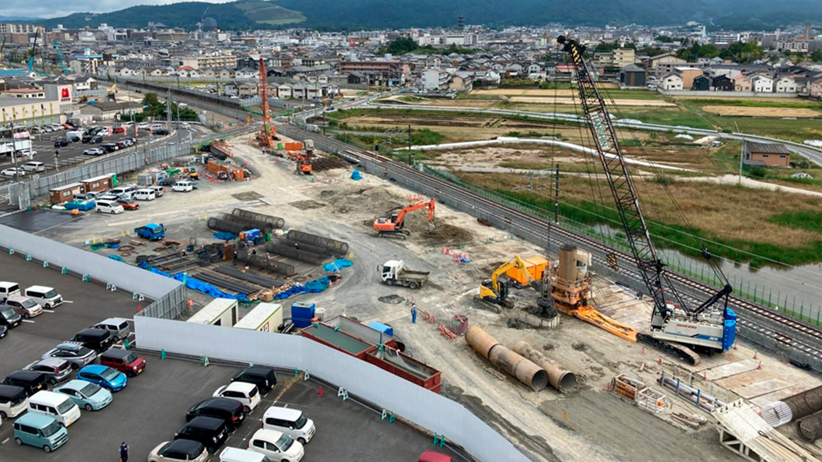
Cut rebar inspection time by 50%+ with smartphone scanning
A leading infrastructure firm saved 850 hours on a major railway project by replacing manual measurements with PIX4Dcatch phone scanning.
PIX4Dfields 2.12: high-resolution satellite imagery
PIX4Dfields 2.12 introduces high-resolution satellite imagery, VRA support for EAVision spray drones, and more!
Pix4D names Puget Systems certified hardware provider
Pix4D and Puget Systems partner for specialized benchmark testing of Pix4D software on Puget Systems hardware.


