画像から現実世界を再構築する、最先端フォトグラメトリーソフトウェア
1つであらゆるワークフローに対応

あなたのカメラで、あなたのプロジェクトを
あらゆるカメラやドローンで撮影した画像やビデオを使用できます。.jpg、.tif、.avi、.mp4ファイルを読み込みます。

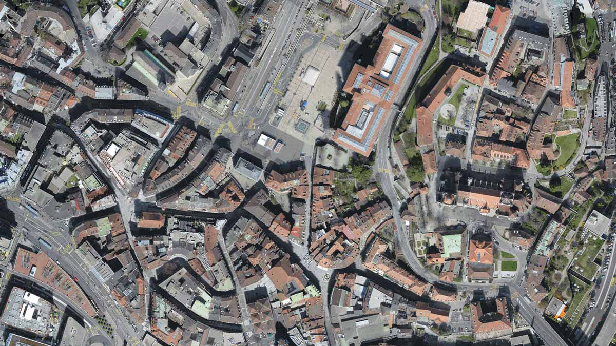
測量レベルのマップ
空撮データを1cm以下の精度でマップに変換します。

自由自在
デフォルトのテンプレートもしくは、カスタム設定で独自のテンプレートも作成できます。
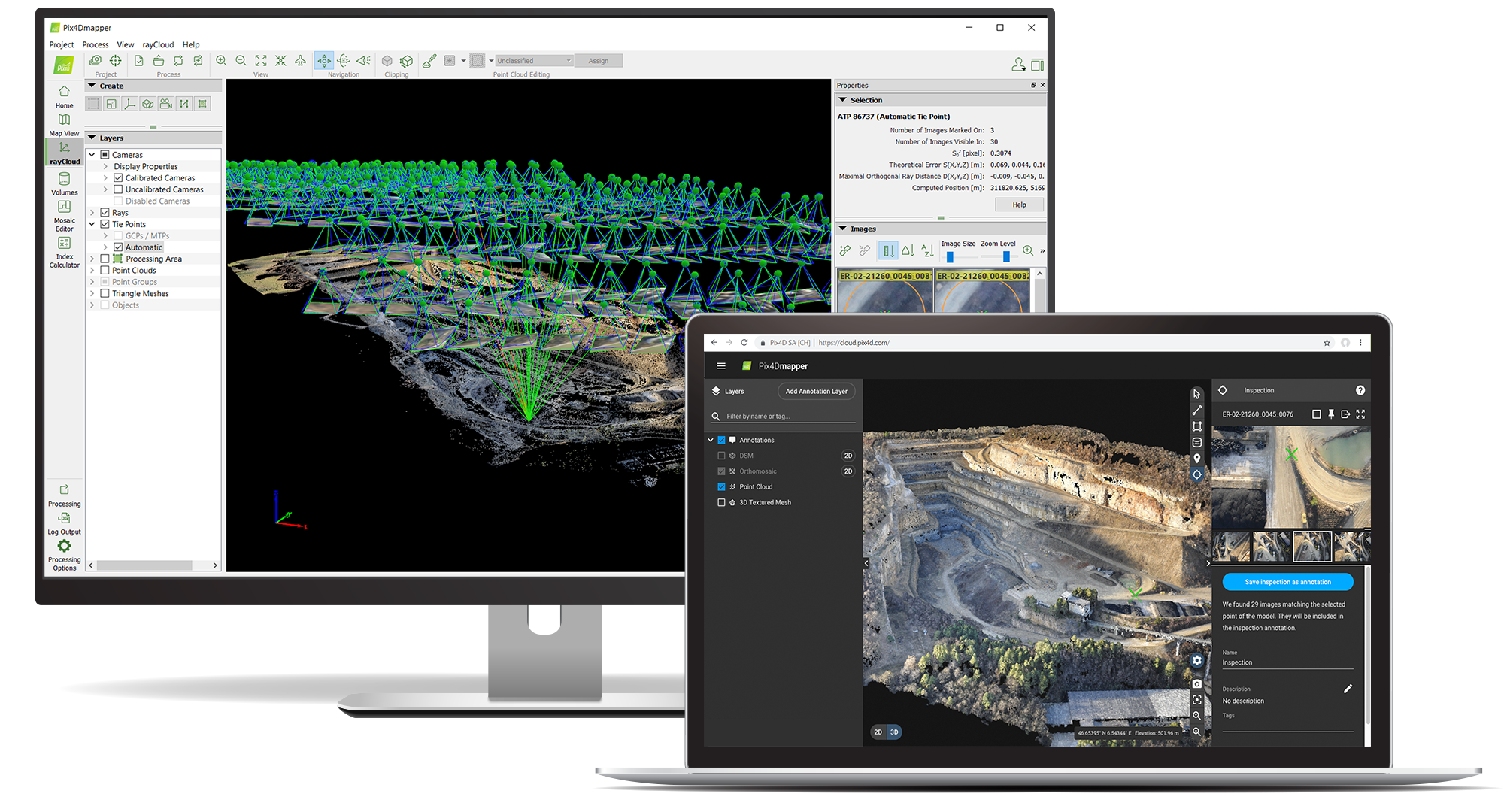
あなたに必要なエンドツーエンドのフォトグラメトリーツール
PIX4Dmapperはあなたと共に
正確な地図の作成
1cm以下の精度で高解像度DSMとオルソモザイクを実現。
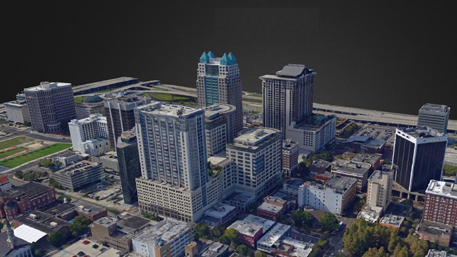
3Dモデルの構築
VRやアニメーションソフトに対応したフル3Dメッシュモデルや動画。
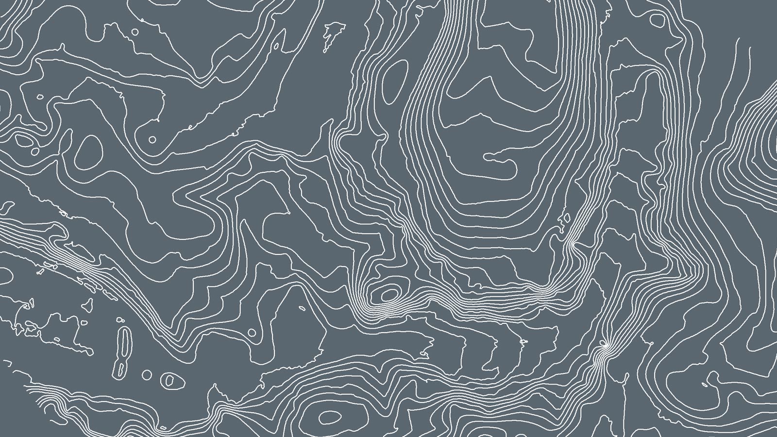
輪郭線の書き出し
地図内の標高差を調べたり、カスタマイズ可能な等高線を生成することができます。
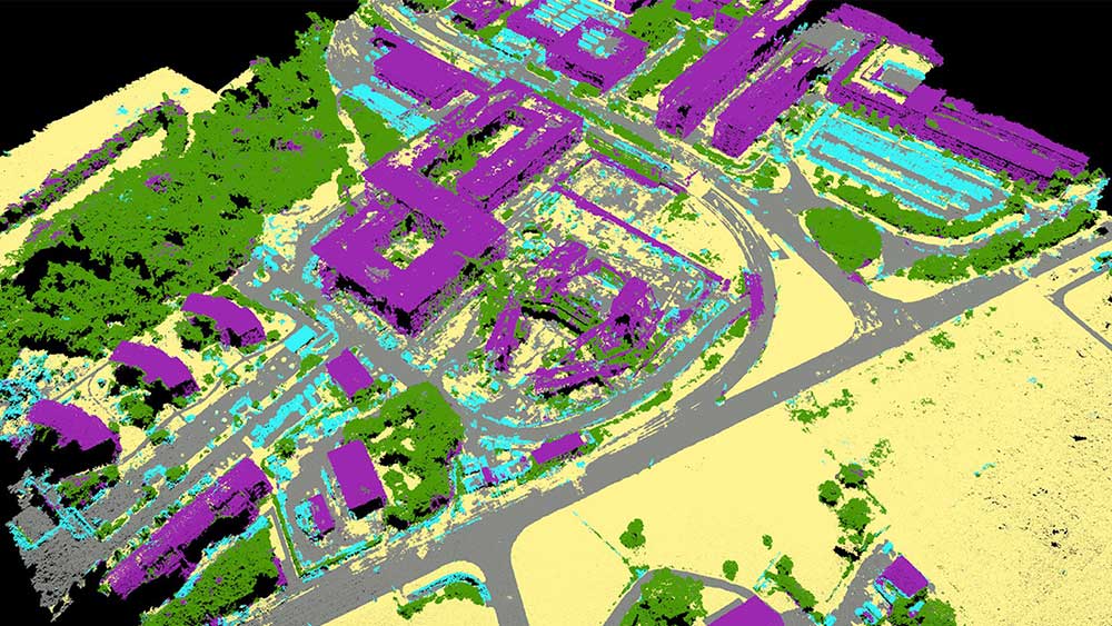
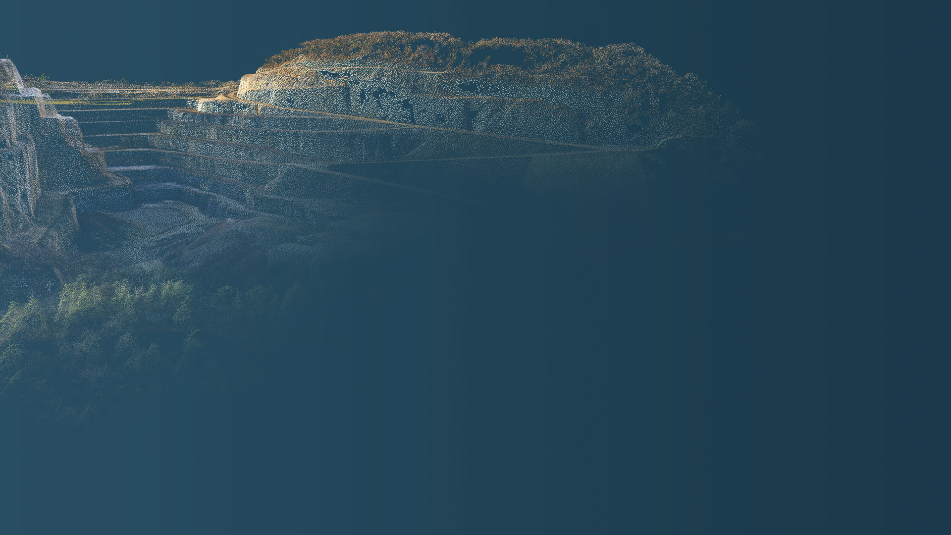
点群の生成
高度な機械学習技術による3次元点群の色分け・分類。
“Large site surveying can be very long with manual labour, but working with drones makes data collection quick, and PIX4Dmapper gave us the accurate, quality results that our clients needed.”

“PIX4Dmapper provides us with a powerful, reliable software platform that delivers the flexibility and the results we require. Accuracy is key to the work we undertake, the detail of the quality report allowing accuracy to be verified together with the flexibility of the workflow allows us to generate the quality of results we require.”

“This was a very large survey in a mixed urban and rural area with several challenges, including avoiding the river. The speed of the PIX4Dmapper helped us deliver results in time to our client”