
Easily create engineering-ready CAD vector files from point cloud data with PIX4Dsurvey
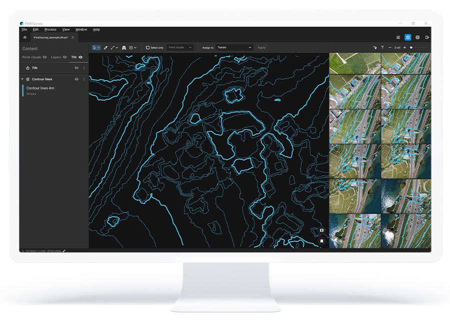

Take your survey into new heights

Vectorize anything
Extract only the information that you need from photogrammetry, laser scanning or LiDAR data.
Flexible and scalable
Work with small to very large projects. More than one photogrammetry or laser scanning file can be worked on at once, easily.
Integrate into CAD
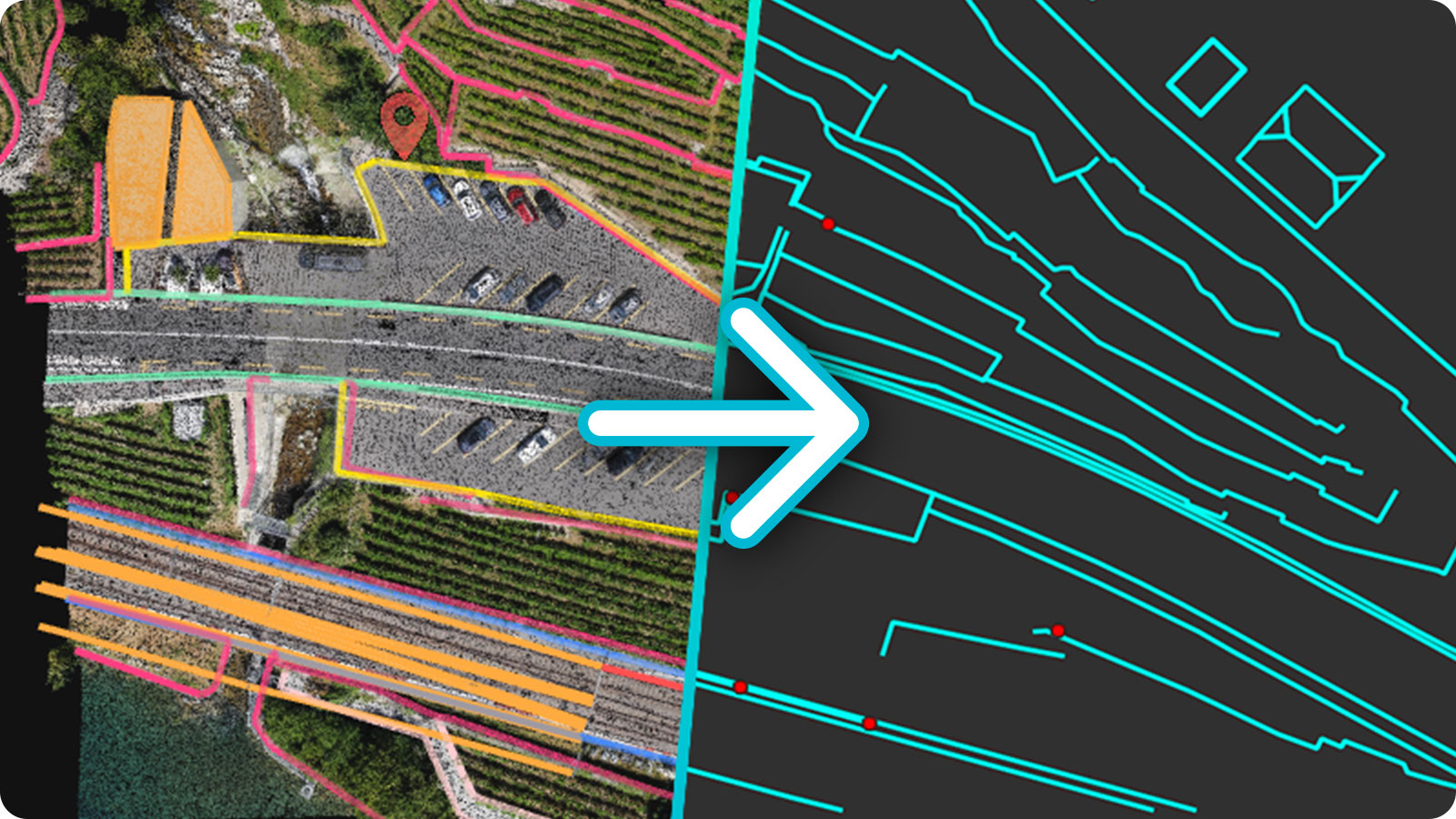
Export objects in layers that are ready for a smooth transition to your preferred CAD or GIS software.
Workflow designed by surveyors, for surveyors
Import your projects
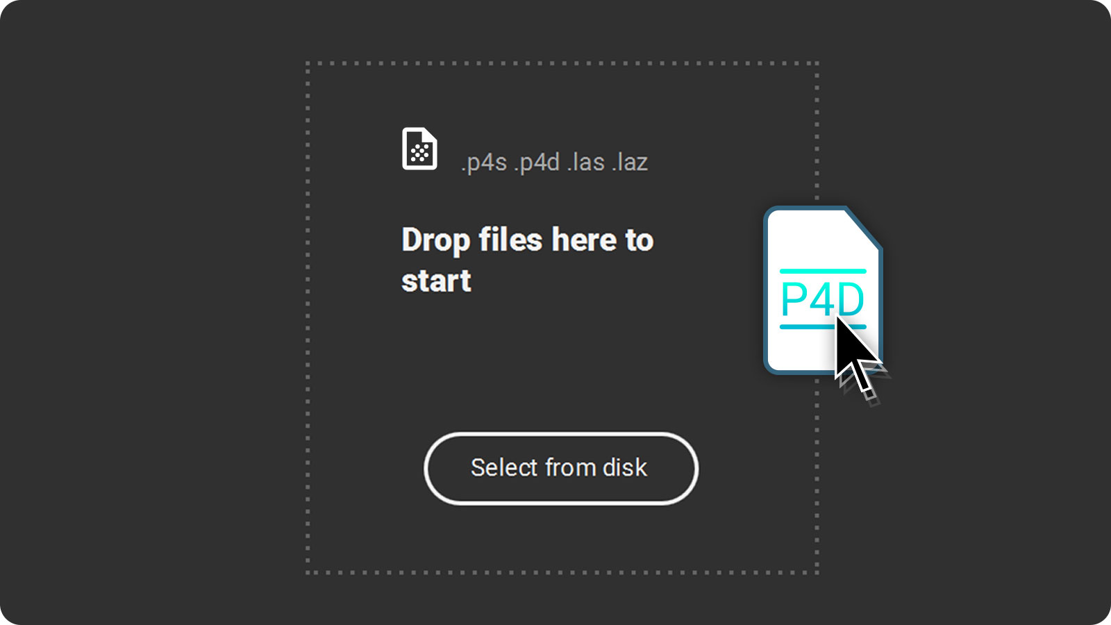
Drag and drop .p4d and .p4m files from PIX4Dmapper or PIX4Dmatic, or import any point cloud in .las or .laz format.
Vectorize and edit
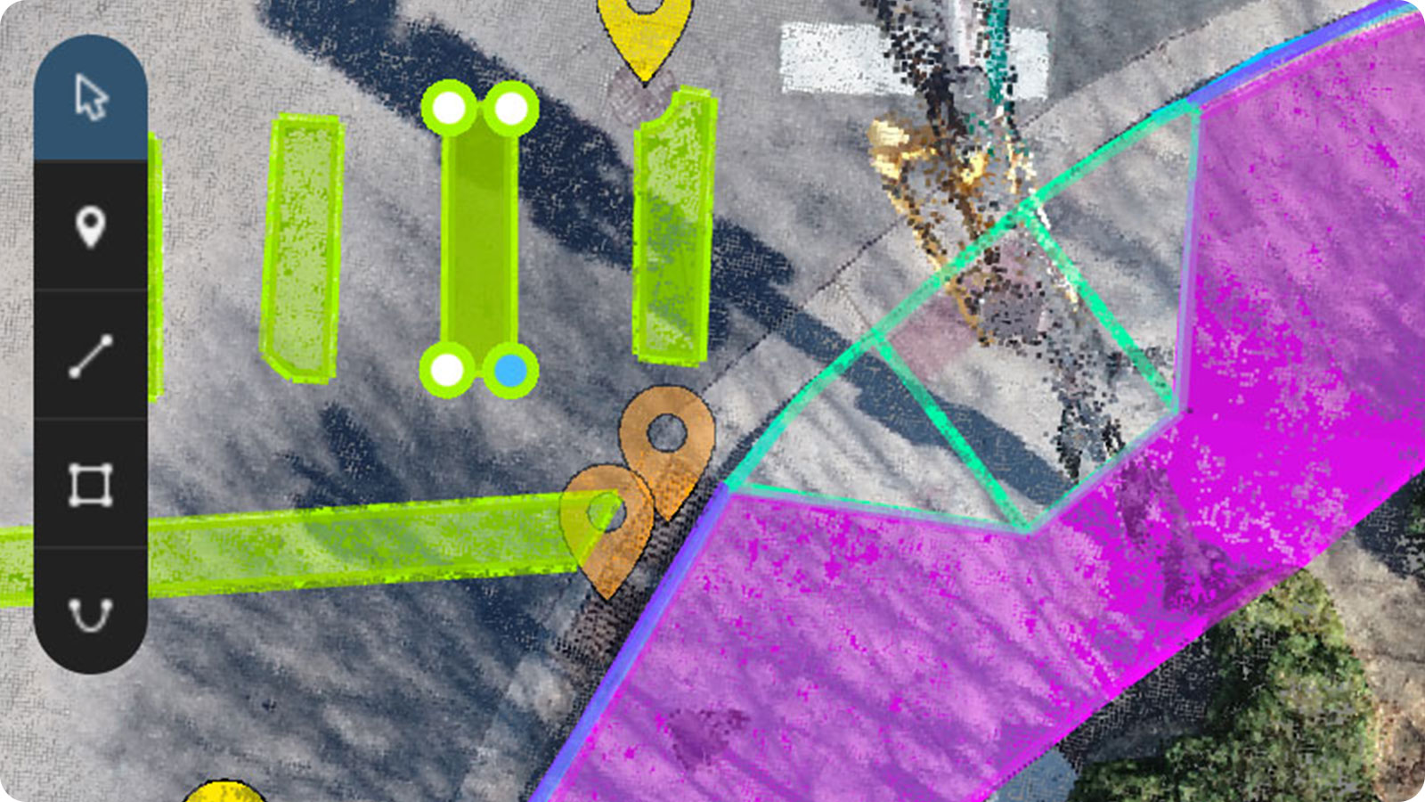
Access your point clouds and images simultaneously. Vectorize your projects using markers, polylines, polygons, and catenary curves with just a few clicks.
Measure volumes
Create and measure the volume of any object, even against a wall or in a corner, with fast, simple steps.
Export your layers
Assign your objects to layers and easily export them separately or together, to your preferred CAD or GIS software.
"PIX4Dsurvey drops a couple of hours to a day off my time vectorizing for each project."
