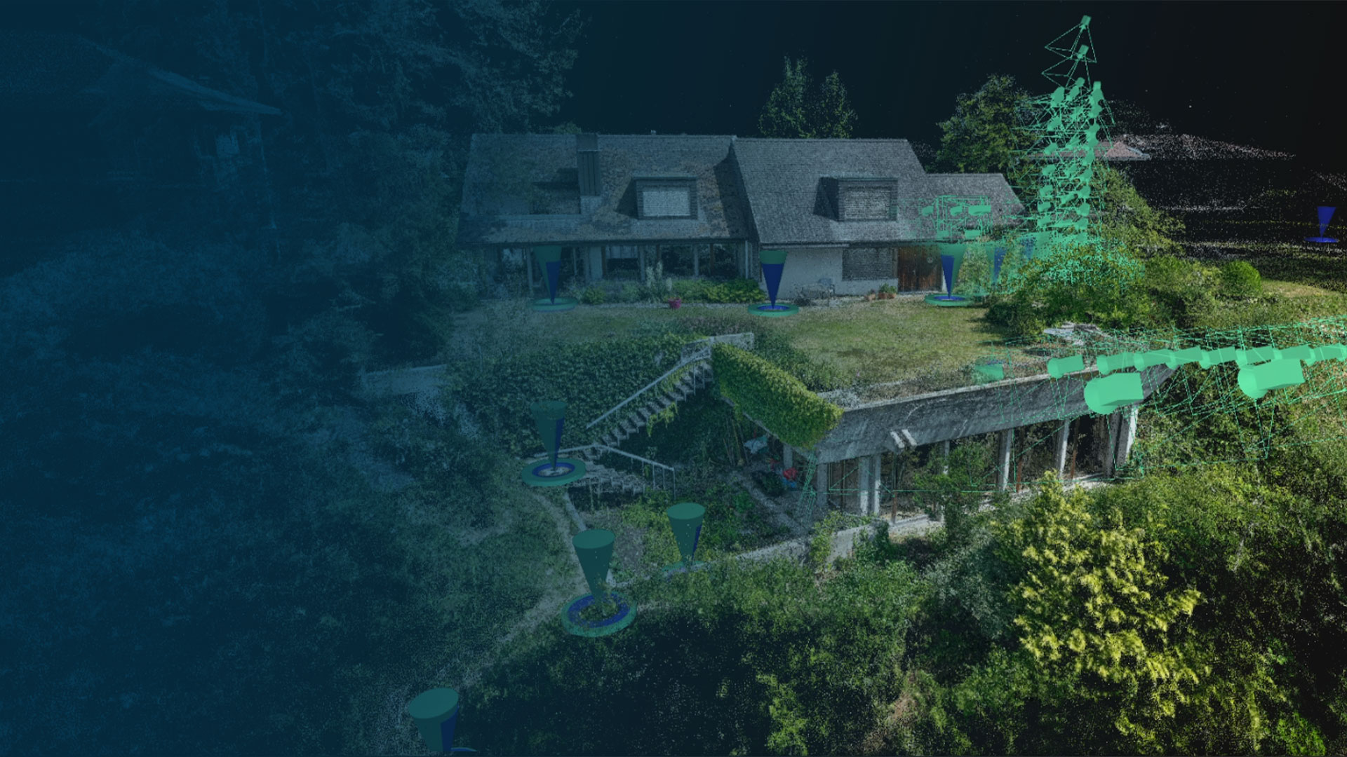

Fast, accurate, and efficient
Next-level photogrammetry software for professional drone and terrestrial mapping

100 000+
processed projects

60M+
images calibrated

2000+
GCPs created

What we offer
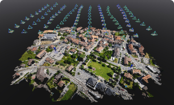
Bigger datasets, accurate results
PIX4Dmatic processes thousands of drone images while maintaining survey-grade accuracy, halving the processing time, without the trouble of splitting and merging.
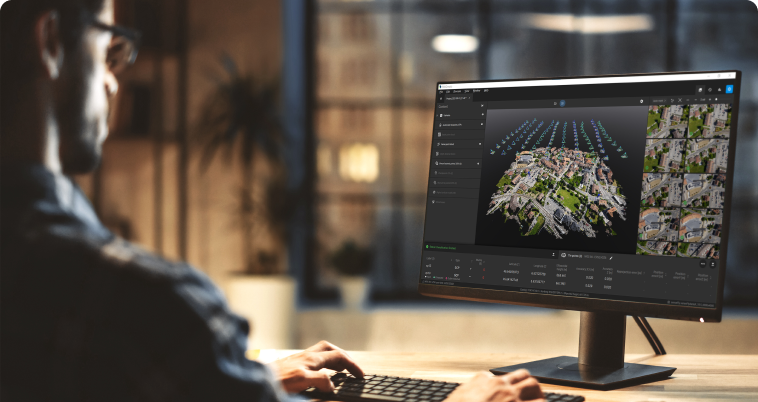
Fully automated processing
Developed in close collaboration with surveyors and mapping professionals to streamline your workflow: import, process, and assess the quality of a project in just a few clicks.

Terrestrial workflow
Get an accurate 3D model using your mobile phone with LiDAR, photogrammetry, and an RTK device.
Trusted by




“PIX4Dmatic has changed the game for us. It allows us to push our drone data sets to their limits making no project size off-limits.”

“The navigation and speed of both processing and display are revolutionary for the large projects we are working on.”

“This technology is a game changer for law enforcement everywhere.”
Unlock the power of photogrammetric mapping and modeling
Transform images into survey-grade 3D maps and models with ease
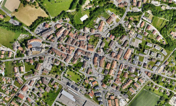
Surveying & mapping
Fast, powerful surveying and mapping solution. Accurate results at large scale.

Subsurface infrastructures
Measure and document your trench with just a phone; process the data quickly and efficiently.
Building renovations
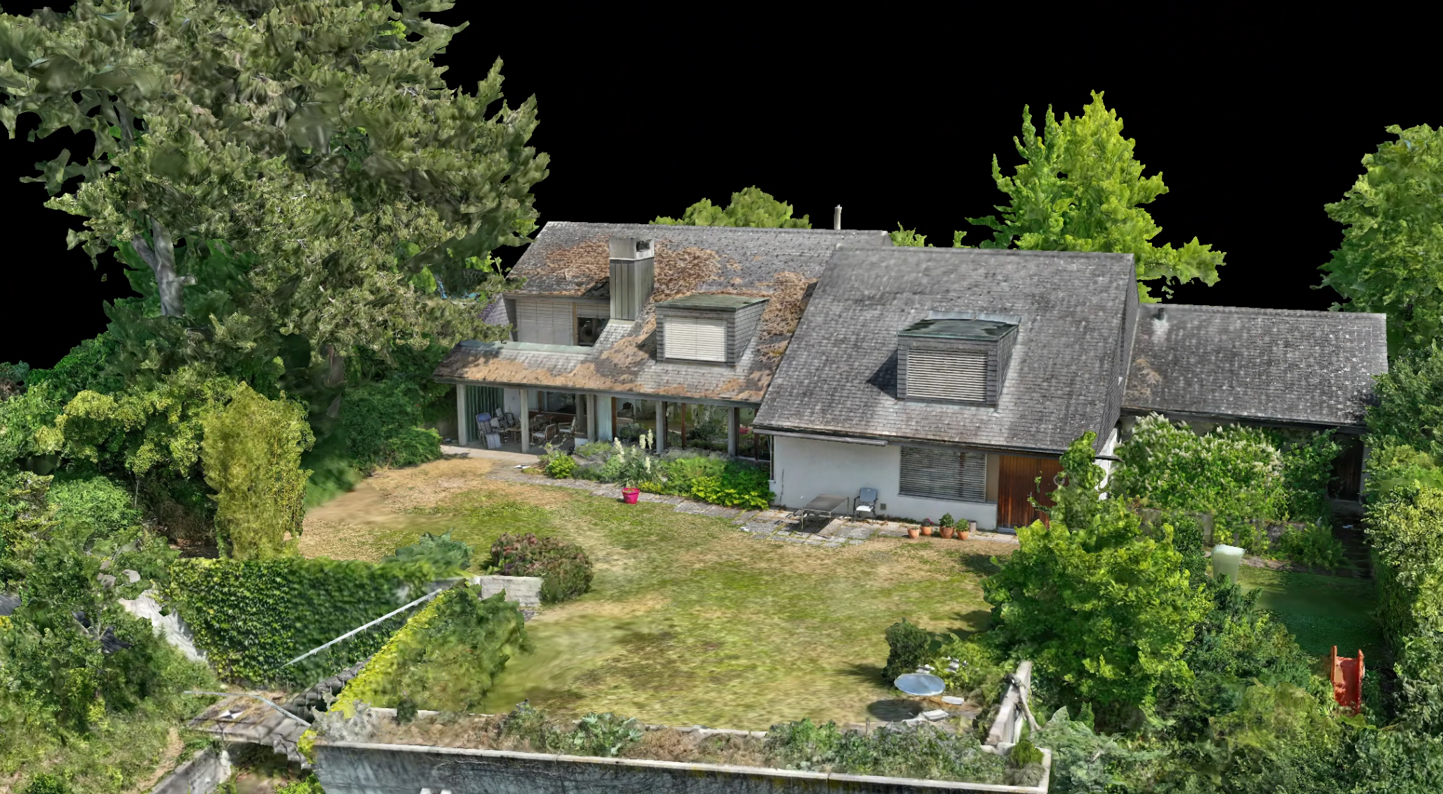
Plan and design an extension or complete renovation of your building with digital surveying. Enhance your 3D model with context from drone, detail from phone.
Forensics
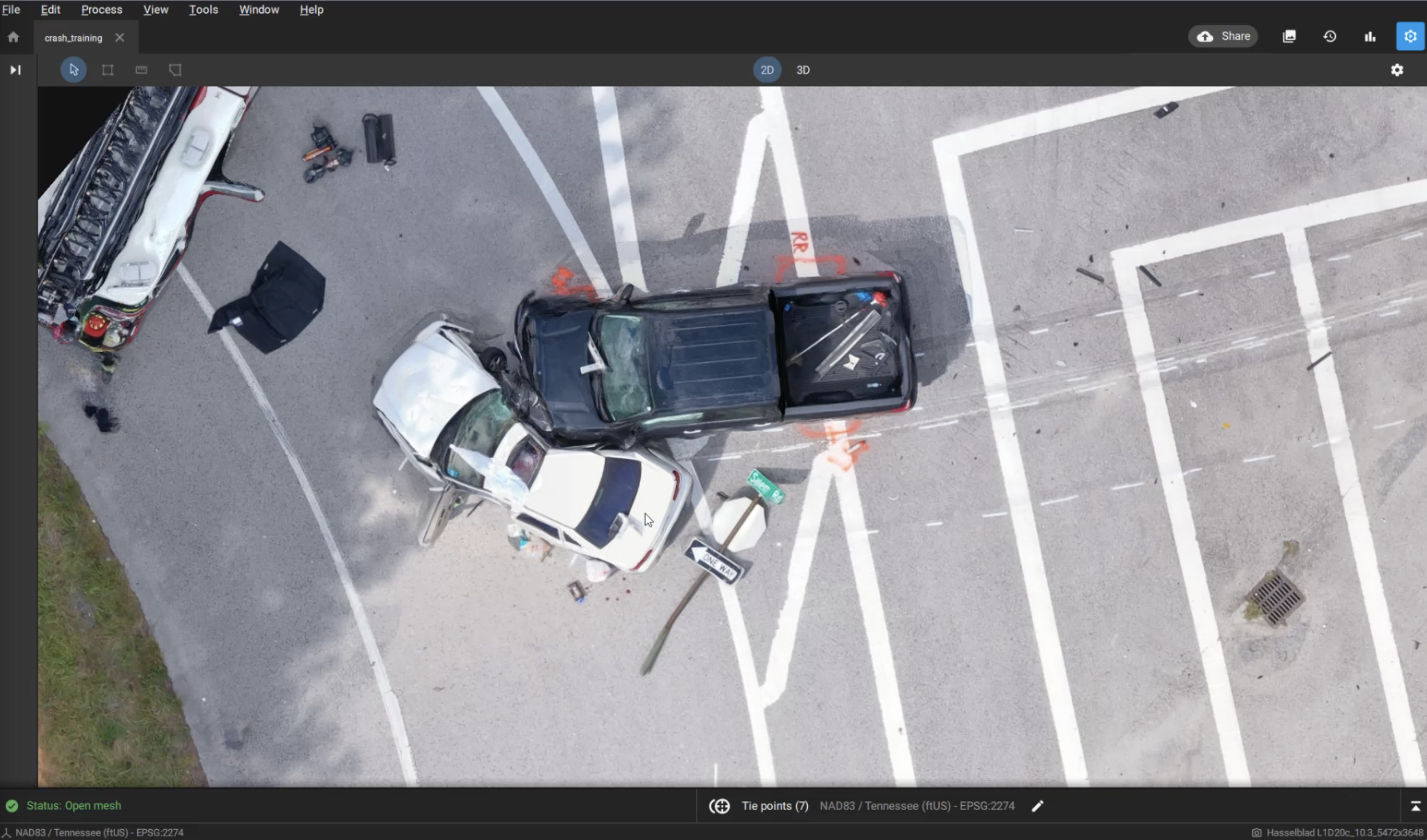
Fast, secure, and accurate solutions for crime scenes and collision reconstruction. Court-ready results.