
PIX4Dcloud

PIX4Dcatch
Next-Generation 3D Reconstruction with Gaussian Splatting
Powered by Pix4D’s new algorithm—delivering denser, more accurate point clouds for drone and terrestrial surveys

Italian, Portuguese, Japanese, Korean, and Thai.

Photogrammetric mapping and modeling is more accessible than ever
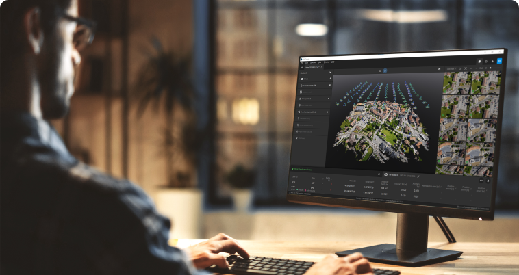
Produce survey-grade deliverables such as 3D maps and models from images

Increase your productivity
Use drone mapping to save costs by spending less time in the field. Enhance your results with combined aerial and terrestrial data.
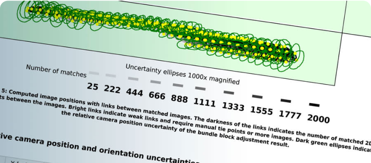
Get accurate results
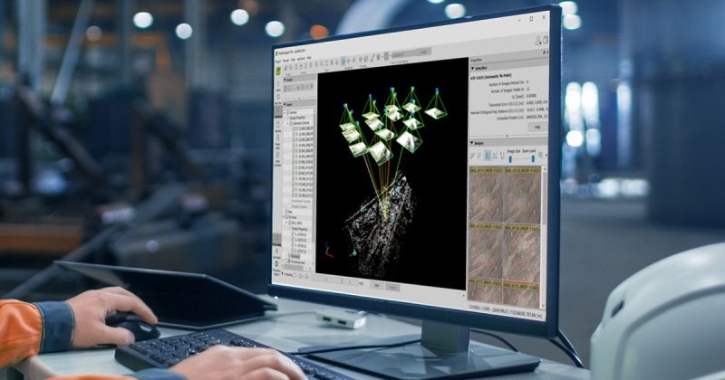
Ensure accuracy with your results. Use GCPs and RTK drone support to georeference your data, whilst the quality report and editing tools give you control over your project.

Collaboration with Unlimited users
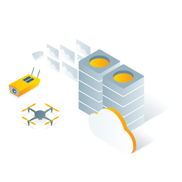
Scale your operations effortlessly with __PIX4Dcloud__. Add as many team members as needed, control access centrally, and collaborate securely—without extra license costs.

- Capture
- Process
- Analyze
- Share
- Integrate

Professional photogrammetry on the cloud

Unlimited users
Give access to your whole team. Pix4Dcloud supports unlimited users per organization, included at no extra charge
The latest technology with Gaussian Splatting
Gaussian Splatting is an advanced processing technique that dramatically improves visualization in 3D models and generates more complete point clouds.
Learn more
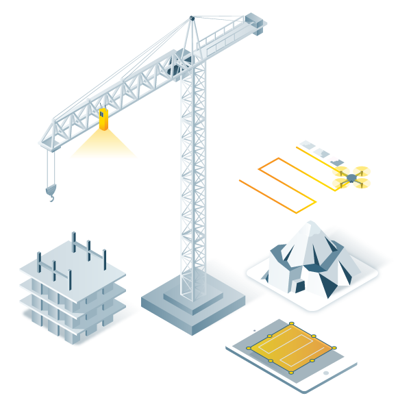
Boost efficiency and savings: unleash the power of photogrammetry at your worksites
Enhance communication and seamlessly share projects among stakeholders

Elevate collaboration and communication
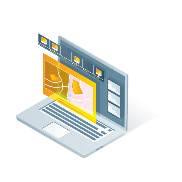
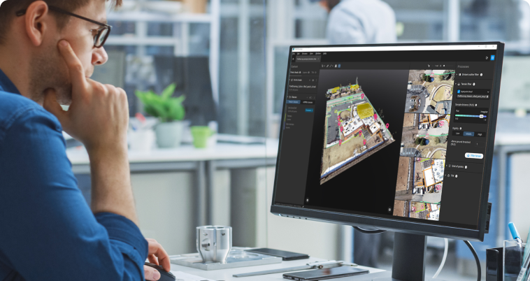
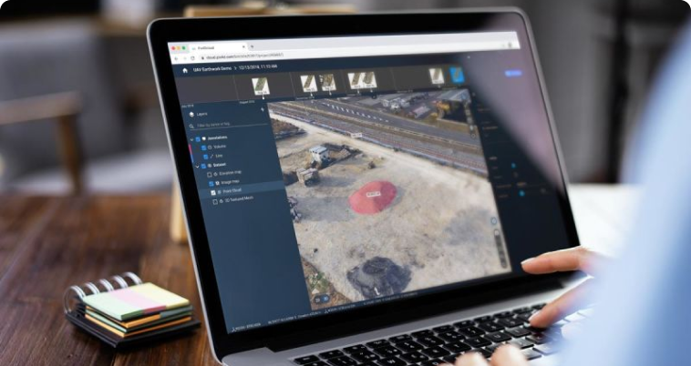
Access 2D and 3D outputs for effortless measurements, comparisons, and seamless sharing among your team and stakeholders. Streamline your workflow and enhance project communication like never before.
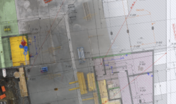
Get unparalled site progress verification
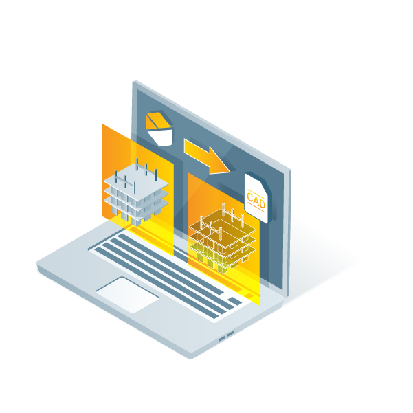
Compare datasets, overlay DXF and BIM models, and conduct meticulous as-built vs as-designed analysis. Gain complete site awareness and elevate your project management to new heights.
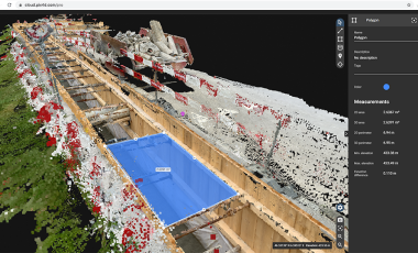
Unlock the power of terrestrial mapping
Effortessly capture scenes with ease using your mobile device, and let PIX4Dcloud instantly convert them into real-time, geolocated 3D models.

“Nothing can compare to what Pix4D gives us. The Pix4D solutions allow us to utilize real-time imagery and data to accurately and thoughtfully provide our customers with service programs tailored to their specific site conditions and needs.”
Branch Manager - LandCare

“When surveyors deliver results in a couple of days, drone-mapping takes only a few hours. With a drone, we get the big picture of the overall site. We can quickly collect real-time data from projects to make on-the-ground decisions quicker and identify potential issues before they become costly”

“The point clouds, generated by PIX4Dcloud, can be used to quickly and easily compare the as-designed model to the as-built orthophotos.The drone data and Pix4D combination is an affordable way to monitor site progress against project schedules.”


