


What is PIX4Dcatch?
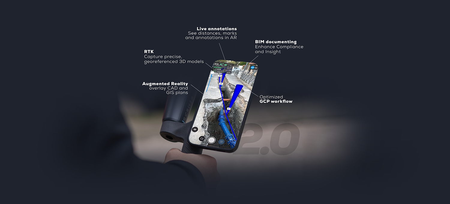
PIX4Dcatch is the next-generation tool to create detailed and georeferenced 3D models using both photogrammetry and LiDAR technology from your smartphone.
PIX4Dcatch 2.0 is here
Learn how PIX4Dcatch can be the right fit for you
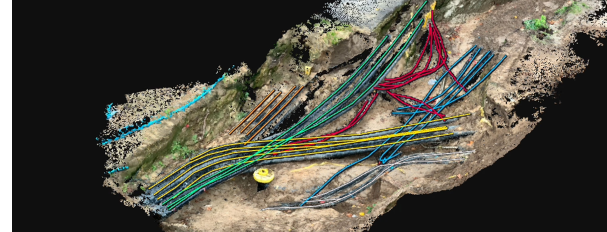
Utilities and subsurface mapping
- Quick trench scans with AR for closed views
- Easy annotations and volume calculations
- Save time and cut costs
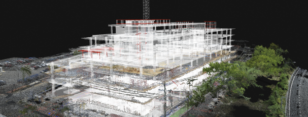
Construction verification and earthworks
- Overlay DXF, IFC, or SHP designs
- Measure, and compare volumes
- Reduce costs, speed up project timelines
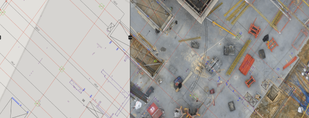
Civil engineering and site verification
- Overlay CAD files for real-site comparison
- Cloud uploads for collaborative work
- Speed up reviews, keep projects on track
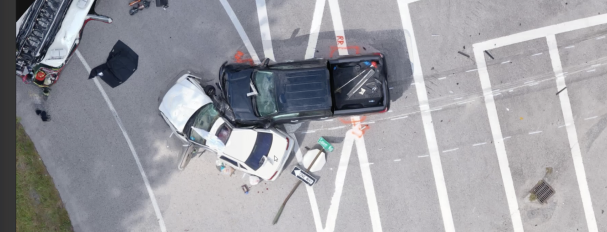
Forensics scene capture
- Merge drone and phone data for 3D models
- Secure, offline, user-friendly workflow
- Detailed and comprehensive scene documentation
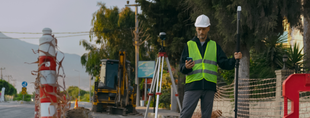
Land surveying
- Streamline surveying with user-friendly interface
- Integrate with PIX4Dmatic and PIX4Dcloud
- Easy data processing and report sharing
If this form does not display correctly, please ensure that JavaScript is enabled in your browser settings and clean your browser's cookies. You can do this by navigating to your browser's settings, then proceed to reload the page.